ATLANTA — After a wet week and flooding issues across north Georgia -- one more "weather aware" day is coming to the region on Saturday.
Here's what to be on the lookout for.
Flooding Threats
The flood watch was extended, and will now run through 1am Sunday morning. This will include all of north Georgia.
How much rain?
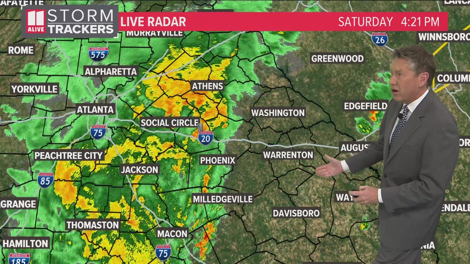
An additional 1 to 2 inches of rain, on average, is expected. Isolated amounts around 3 inches will be possible.

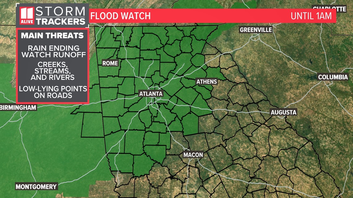
This comes on the heels of a wet week. Parts of north Georgia picked up 2 to 4 inches of rain thus far. Isolated amounts over 5 inches have been reported. This has created saturated grounds that cannot absorb much more water. More runoff could create rises in creek and stream levels, which eventually ends up in the rivers. Low-lying points on the roadways with poor drainage could also be overcome by standing water easily.
Severe Threats
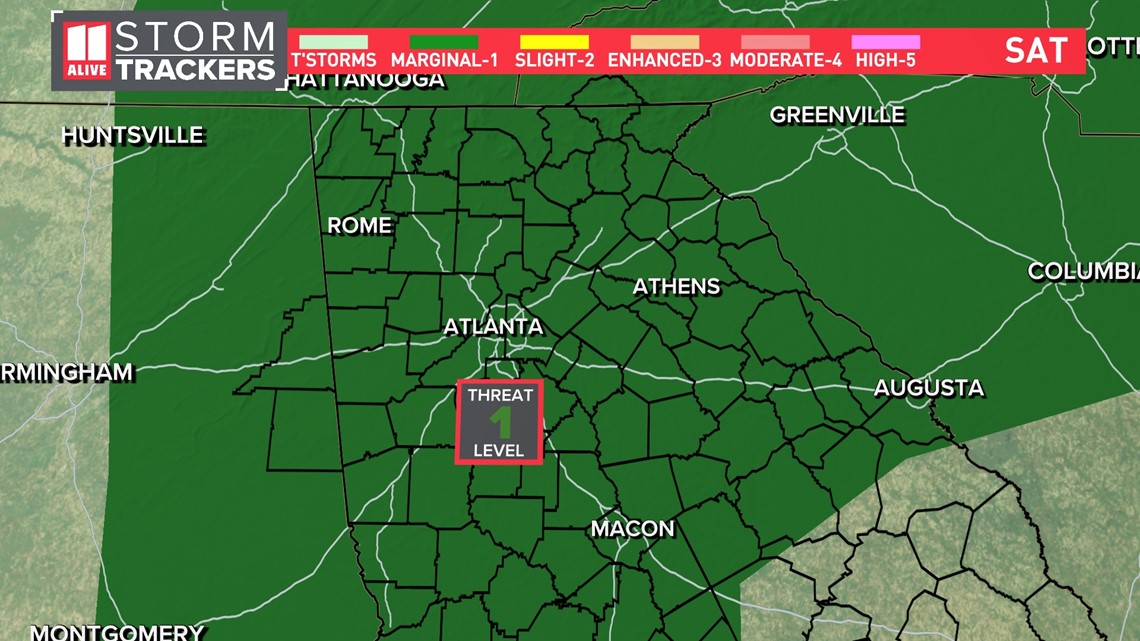
There is a lower-end chance for severe storms on Saturday. We are expecting isolated strong to severe thunderstorms. The Storm Prediction Center has placed the area in a Level 1 out of 5 threat for severe weather.
The primary severe risk is damaging winds. There is also a very-low but non-zero chance for a brief, weak spin up tornado.

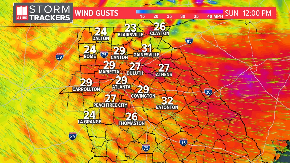
Wind gusts behind the front on Sunday could be around 35 mph, lengthening that threat for some trees to come down with our saturated ground.

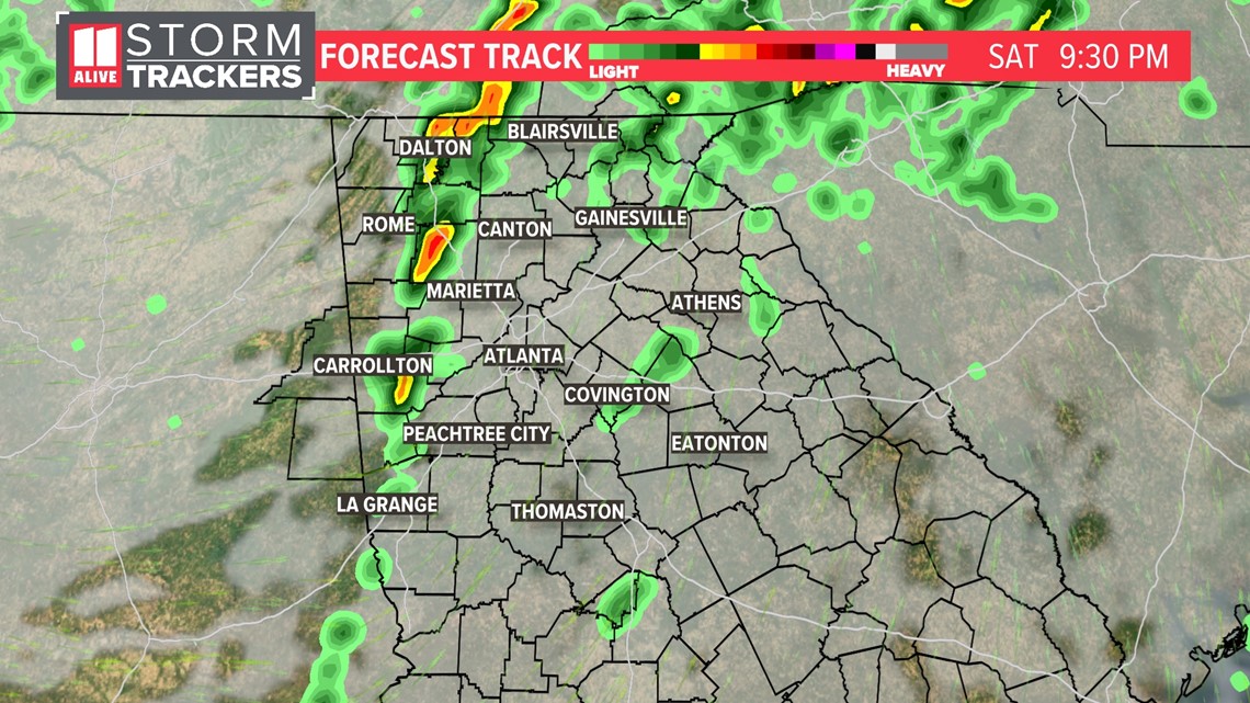
Timeline
In the evening, the cold front moves into north Georgia from the west. This will bring our final push of some showers and storms. Along that front, isolated storms could be strong/severe.