
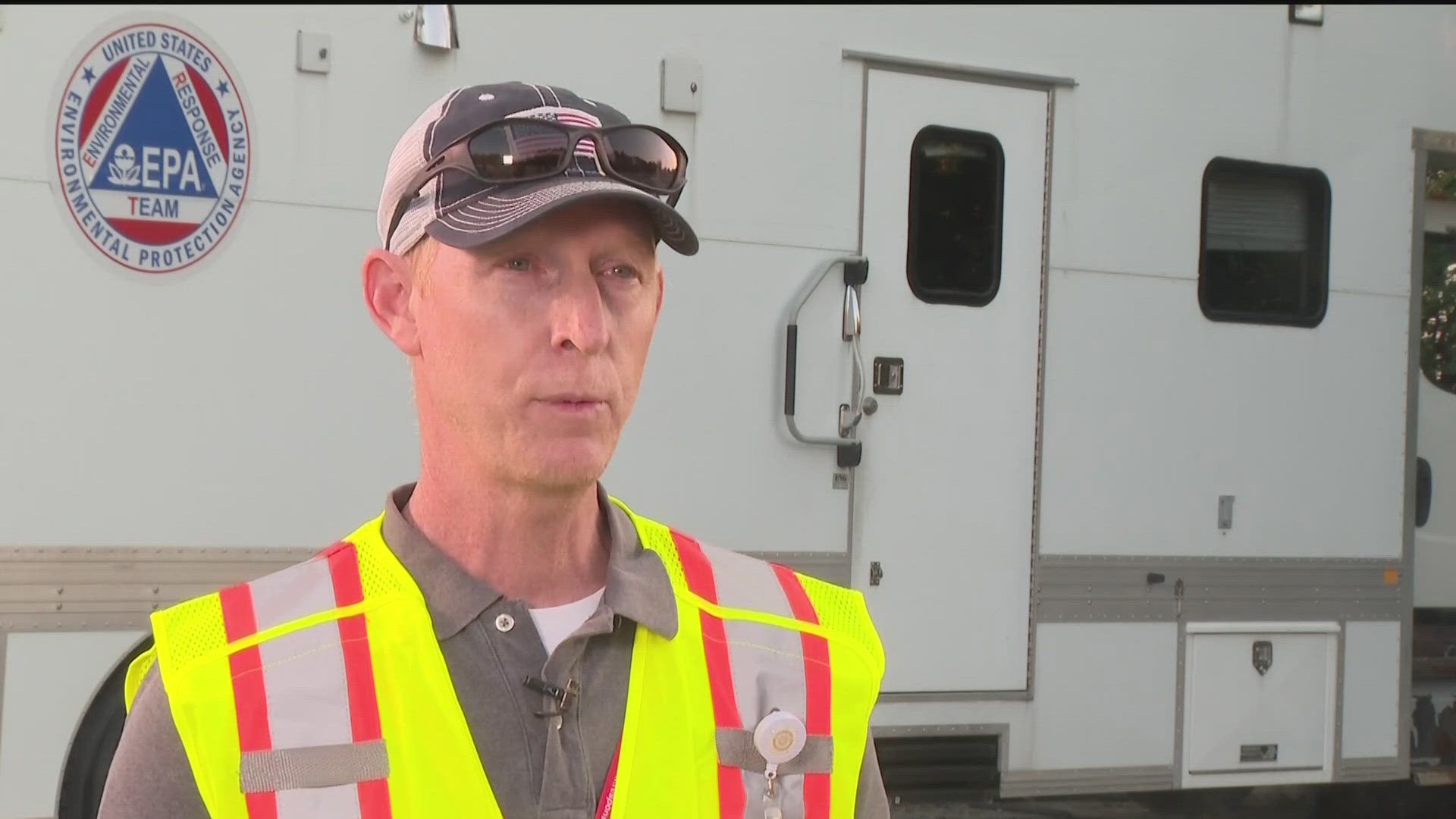
ROCKDALE COUNTY, Ga. — The United States Environmental Protection Agency (EPA) brought in a new tool to help better monitor air quality in Rockdale County called the Trace Atmospheric Gas Analyzer (TAGA) Mobile Laboratory.
“The mobile lab is truly just that,” said Greg Harper with the EPA Region 4. “It’s a laboratory instrument sat into a bus.”
It’s the newest part of the three-pronged approach to air monitoring happening in Rockdale County.
“We’re doing air monitoring within the community, so close proximity to the facility, and then we’re also doing extensive air monitoring out into the greater community,” said Harper.
Harper said the monitoring - which is collecting data regarding chlorine and hydrochloric acid in the air, the two main biproducts of this chemical decomposition - is happening in three areas: on-site at the BioLab facility, which he said is done through the company’s resources; at stationary spots close to the facility, and then roving monitoring.
“So what we can do is we can send a team out with those same instruments, and we can go to see if there is an area where the plume looks like it’s headed or there is a plume there; we can do detections within that plume and get an understanding of exactly what that risk might be to the community,” said Harper of the roving monitoring.
He explained that’s where TAGA comes in, which gives the EPA high quality data about chlorine in the air because it’s calibrated to only monitor for chlorine.
“That range is more sensitive than our community air monitoring equipment that’s set out,” said Harper. “So it’s just another piece that helps us ensure the safety of the community.”
Harper said air quality data is coming in 24/7 and is constantly being monitored.
He said both the fixed stations and mobile teams have periodically seen readings that are above an actionable level or risk concern. Harper said, while there have been periods where the action levels have been reached, they were at a “much closer distance from the product."
He added that while they still see chlorine further out, it is not hitting above the action level.
“That’s why today you saw the County announce they were going to take that shelter-in-place, and they were pulling that in from the entire county back to a two-mile radius,” Harper explained, noting the 7 p.m.-7 a.m. time frame of the shelter-in-place is the “highest risk because of weather conditions."
Harper explained that mobile teams are monitoring around the edge of the plume looking at two key things: how large it is and how long it stays. He said the time of exposure and amount of exposure is critical when making health risk decisions, adding the EPA is passing that information onto county and state health department officials so they can make decisions for the county.
Harper added the EPA is consistently publishing the findings. He explained there are times when a station will see more of a spike in a chemical than others and said there are different factors that come into play.
“It’s just the chemical makeup of the plume. It’s not uniform whatsoever. Wind conditions matter. The amount of chemical that was released matters,” he said. “So if the wind is much slower, that concentration may stay together more. If you’ve got more wind, it might be dispersed a little more. It also depends on the activity at the site.”
He said, early on, when there was more product and more activity, the plume was heavier.
“It all varies on work conditions, weather conditions, and how that plume interacts with the terrain,” said Harper.
Harper also dove into how to understand risk levels.
“When we look at risk levels, those are always over a time period. So for an emergency response, we set up risk levels for one hour potential exposure to the community,” said Harper.
He explained that as the plume goes by, it varies in strength in chemical makeup.
“If it’s higher and lower during that hour, it’s averaged out across, and that’s how risk numbers are calculated,” Harper said. “So you will see spikes, and you will see troughs, and then it gets averaged out over the hour.”
Harper added along with bringing in the TAGA for help, the EPA also has people from across the country coming in to help monitor air quality in Rockdale County.