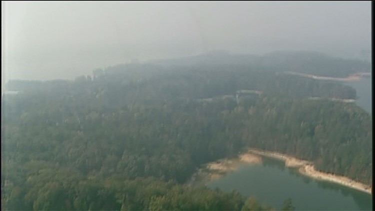
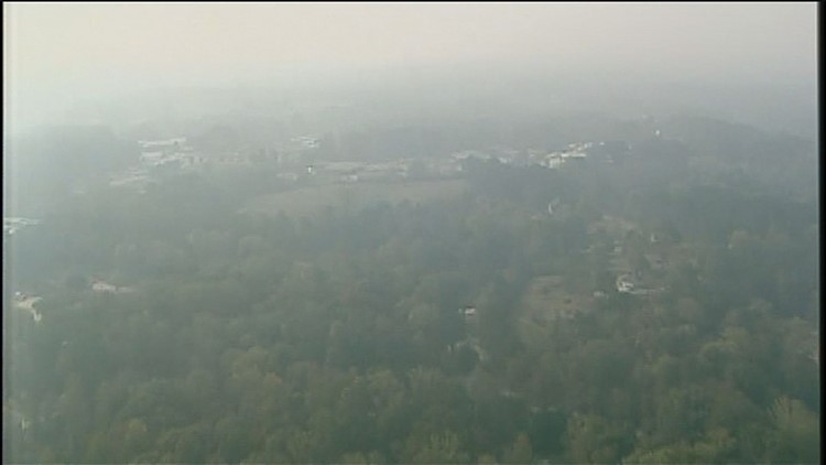
What are the major fires burning in Georgia?
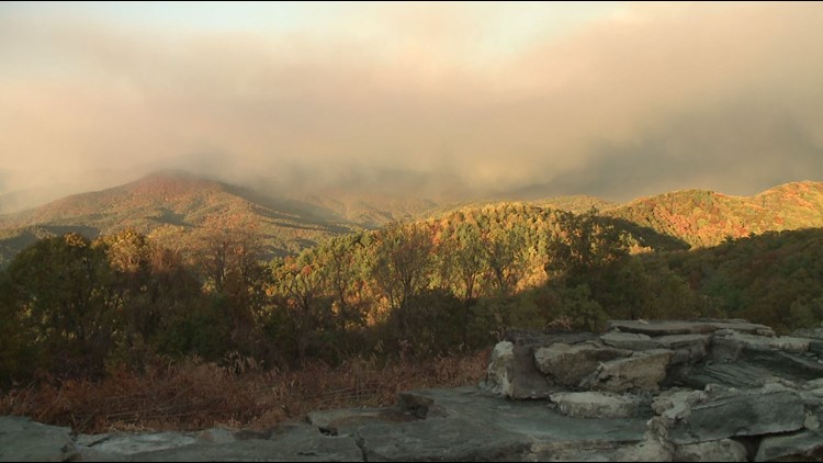
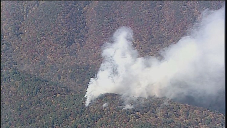
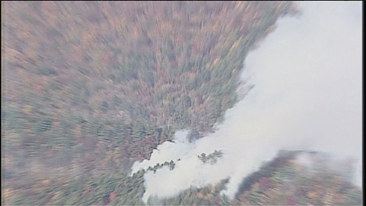
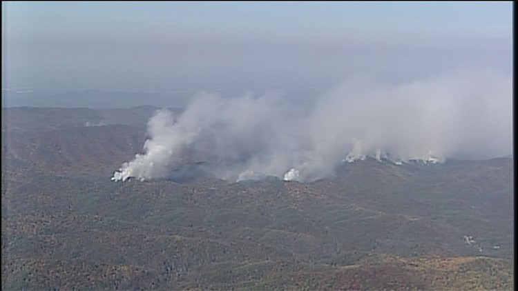
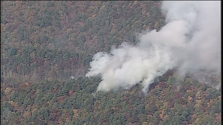
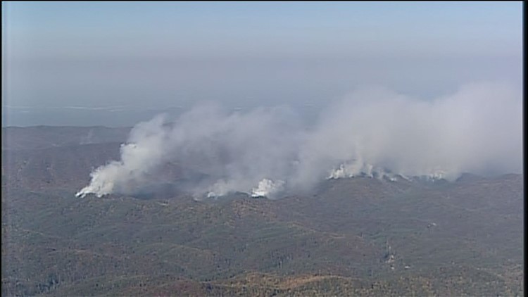
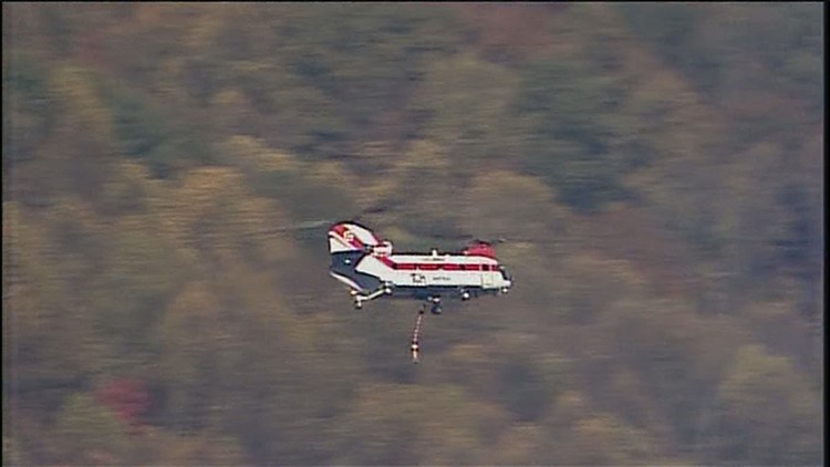
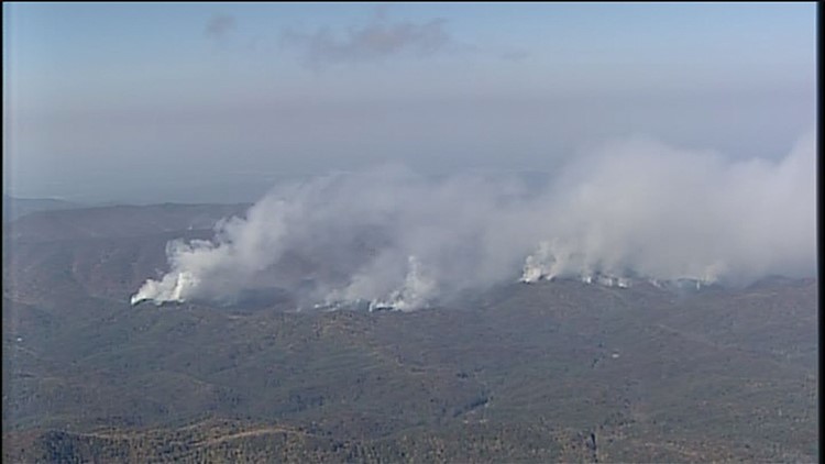
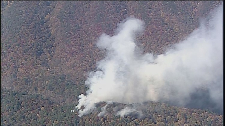
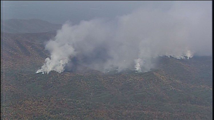
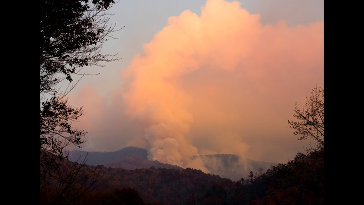
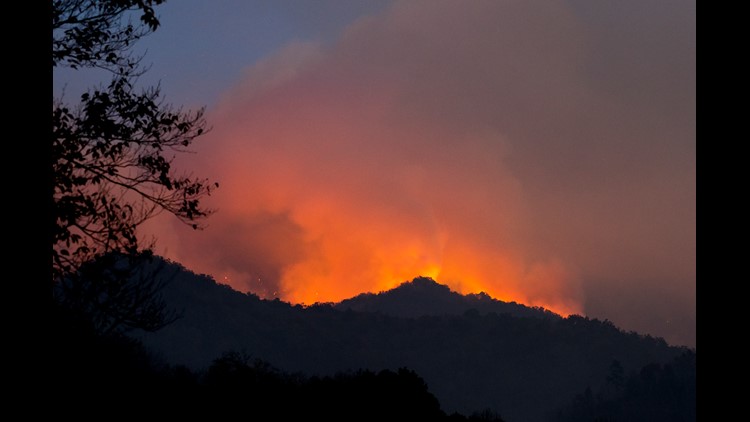
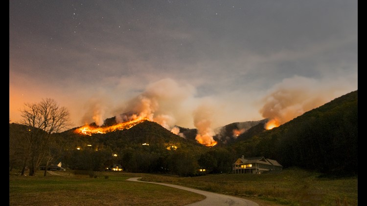
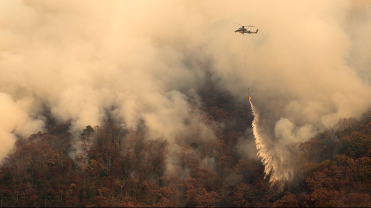
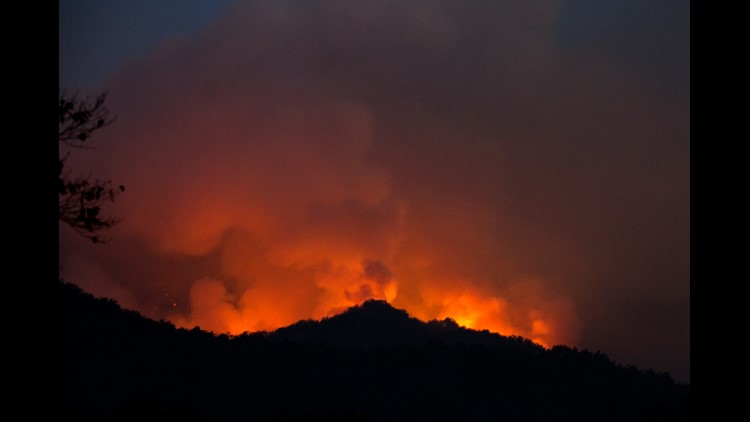
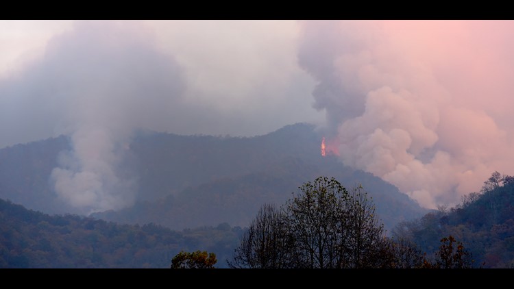
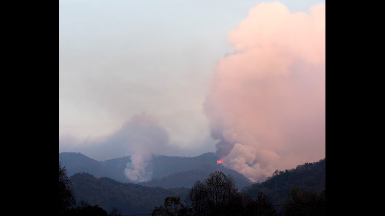
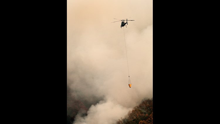
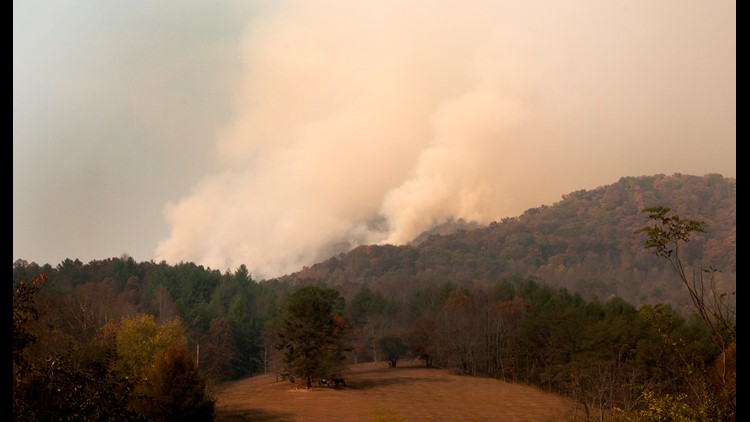
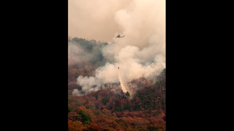
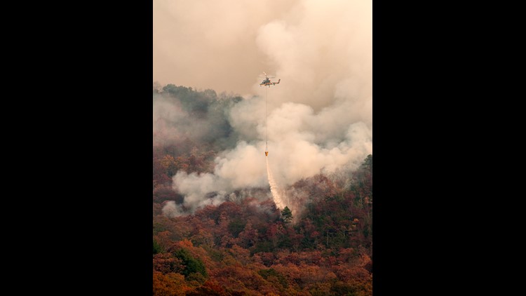
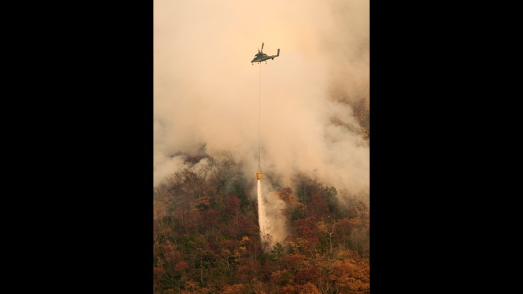
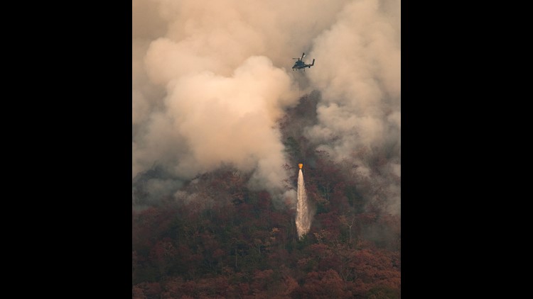
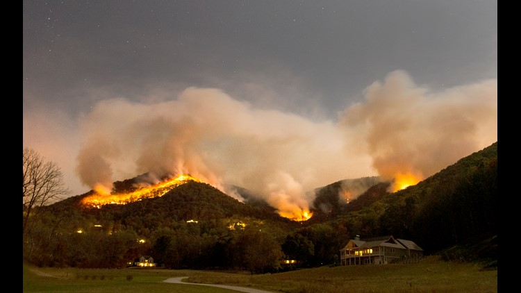
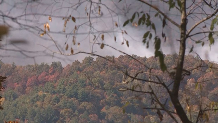
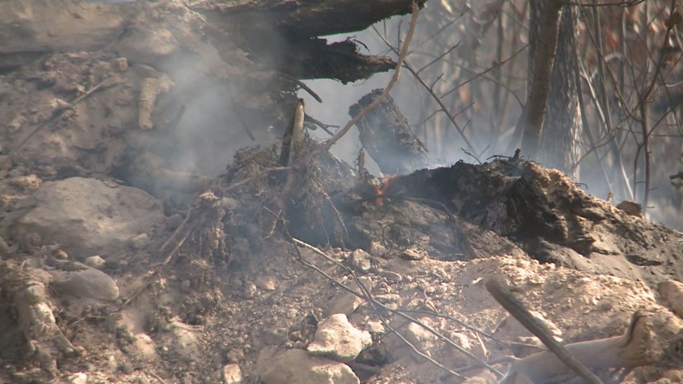
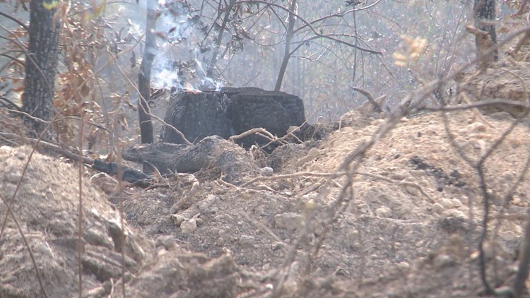
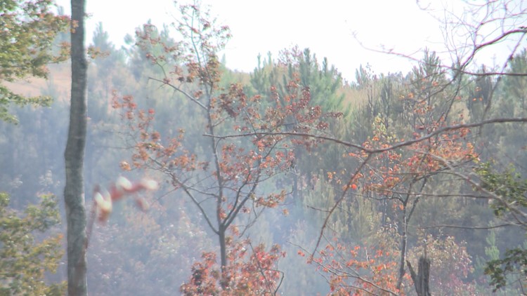
Firefighters are battling several fires across the state, but the major fires are the Lookout Mountain fire in the northwest corner of Georgia, in Dade and Walker Counties; The Rock Mountain Fire in the northeast corner of Georgia, in Rabun and Towns Counties; and the Rough Ridge Fire, also in north Georgia, in Fannin County, near Blue Ridge.
PHOTOS | Rough Ridge wildfire
PHOTOS: Rough Ridge wildfire
How many acres have they burned?
The Rough Ridge fire is the biggest of the three, and it’s consumed 20,000 acres so far. On Wednesday, it will be one month old; it was started on Oct. 16 due to a lightning strike.
The Rock Mountain fire is smaller, and has burned more than 5,000 acres.
RELATED | Track the wildfires, share your photos
Have the fires forced evacuations?
Residents of the Lookout Highlands subdivision are evacuating as a precaution. Firefighters think they can keep the fires away from about 60 homes, but the fire is expected to double in size soon, to more than 3,000 acres. If that happens, it could possibly threaten other residential areas.
Homes near the Rock Mountain Fire in Rabun were also evacuated, but the Rabun County Sheriff’s Office wrote that some of those evacuations were lifted. A pre-evacuation, which means residents should be ready to move at a moment’s notice, still remains for the area.
PHOTOS | Wildfires spread across the mid-South
The fires have burned thousands of acres, but how big is that anyway?
The Rough Ridge Fire has consumed 20,000 acres, so far. For scope, let’s compare how much of metro Atlanta that would cover.
Take, for example, a popular destination: Piedmont Park in northeast Atlanta. If you centered 20,000 acres around it, that area would include Downtown, Bankhead, West Midtown and the Atlanta reservoir, Peachtree between West Wesley to the north and I-20 to the south, Lindbergh, the CDC and Emory, the Carter Center and the King Center, plus other neighborhoods and areas such as Reynoldstown, Kirkwood, Cabbagetown, Old Fourth Ward, Poncey-Highlands, Virginia Highlands, Druid Hills, Midtown, Morningside, Ansley Park, Piedmont Heights, Home Park, Atlantic Station, Loring Heights, Memorial Park, Georgia Tech, Georgia State University, Vine City, English Avenue, to name a few.

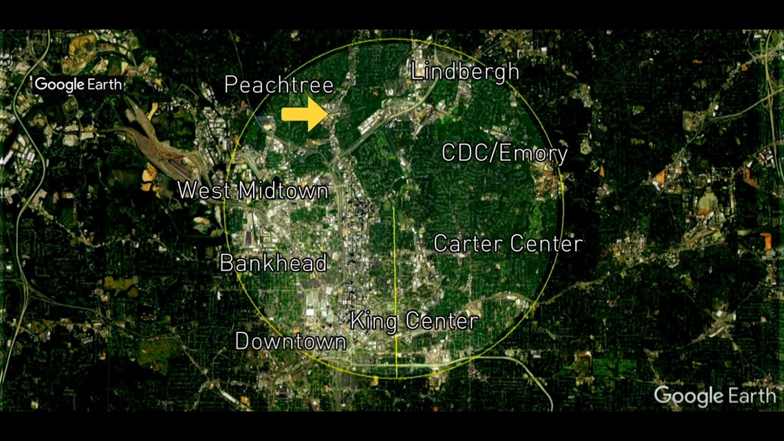
Basically, wherever you are, just imagine about three miles in every direction on fire, or six miles across, and that would be similar in size to the Rough Ridge fire.
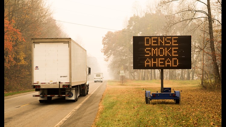
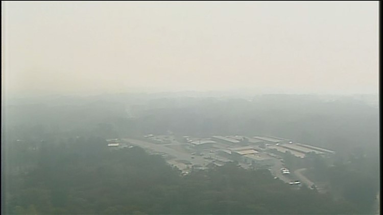
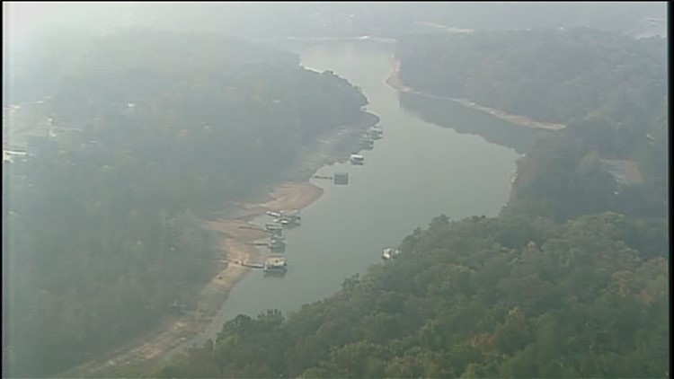
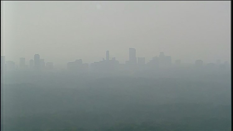
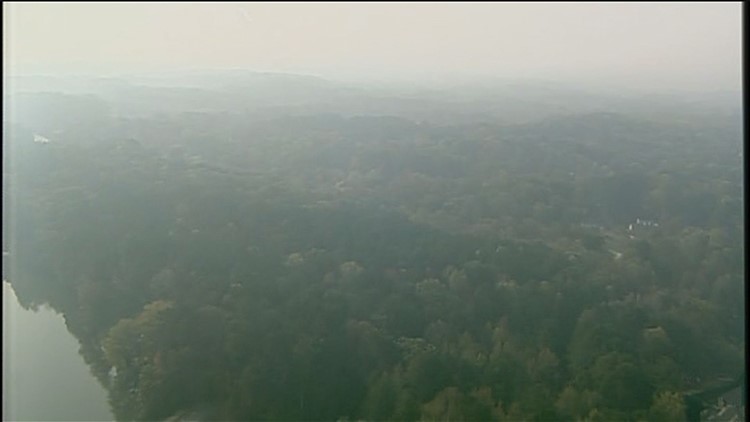
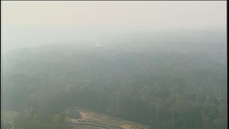
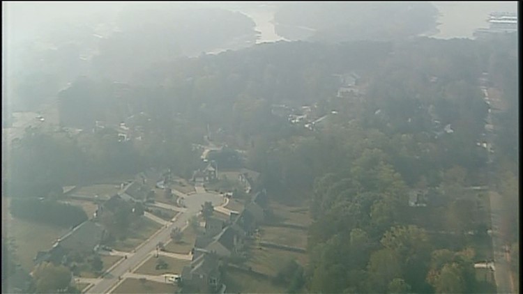
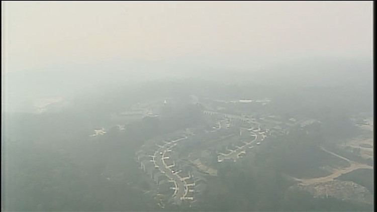
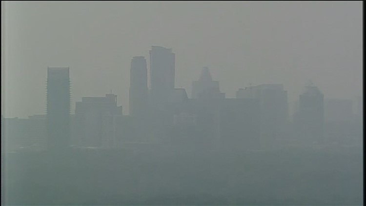
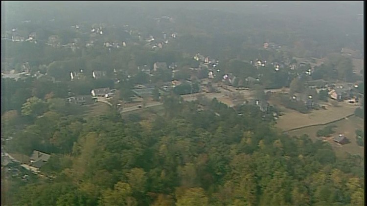
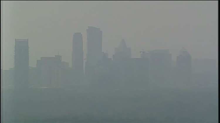
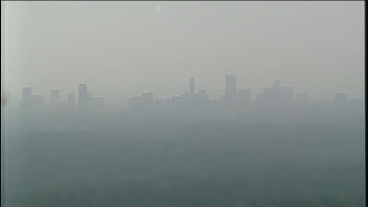
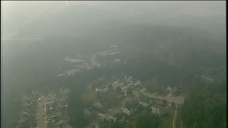
What about all that smoke? Is it bad for my health?
Last week, hospital emergency departments in Metro Atlanta, Dalton, Jasper and Gainesville saw a 20 percent increase in patients with asthma-like symptoms.
Doctors don't know if they were all cases of asthma due to the noxious wildfire smoke, but people are complaining they can't breathe, especially those near the fire sites.
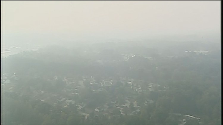
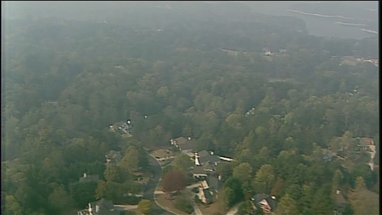
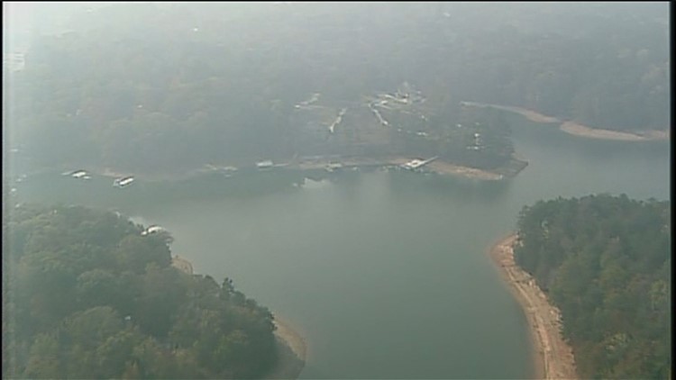
The Georgia Department of Public Health is urging people to avoid jogging and yard work and other strenuous outside activities until the fires and smoke go away. But because of the lack of rain, no one can predict when that will be.
PHOTOS | Smoke in the metro Atlanta area
PHOTOS: Smoke all over metro Atlanta
INTERACTIVE MAP | N. Georgia wildfires spread, grow


