Faced with relentless floods, Texas-based federal officials are turning to a new ally in the war on rising water: Twitter.
The U.S. Geological Survey, the federal agency responsible for monitoring river levels, recently launched a pair of Twitter feeds -- @USGS_TexasFlood and @USGS_TexasRain – that give out automated, real-time river levels and rainfall amounts during heavy rains.
The feeds help first-responders and flood forecasters see river gauges in real time and help with decisions ranging from when to evauate to weekend forecasts.
The initiative is a pilot program that could someday be rolled out on a national level, said Daniel Pearson, of the USGS Texas Water Science Center in Austin, who helped develop the application. USGS already uses Twitter to help confirm earthquakes, but these are the first fully-autonomous flood and rain related accounts.
“By using social media, we could meet [users] where they’re at on their platform to get information more readily,” he said.
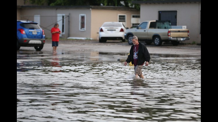
For Texas, it couldn’t have come at a more opportune time. At least five people have died in floods this Memorial Day weekend after thunderstorms dumped up to a foot of rain in Central and South Texas. The Brazos River near Houston overran its banks and flooded homes and streets. One woman who was tubing with friends on Barton Creek in Austin was pulled underwater near a culvert by the rushing water and drowned. Meteorologists say more rain is expected in the coming days and potentially more flooding.
Though the USGS Twitter feeds probably can’t save the lives of those trapped in flood-prone areas, it could bring better information to people faster, especially those who find themselves with no power and only their smartphone in hand, Pearson said.
“It’s exciting,” said Gregg Waller, service coordination hydrologist with the West Gulf River Forecast Center in Fort Worth, a branch of the National Weather Service.
Waller uses USGS river data to formulate flood forecasts. He said he could now use the USGS Twitter feeds if he has to leave his desk to go offsite or help other agencies with forecasting assignments.
“They’ve come up with a way to grab all this information in one spot,” he said. “It’s a really exciting tool.”
Jim Moffitt, a developer advocate with Twitter, said he pitched the idea of using the social media application as an emergency response tool at hydrology conferences around the USA. Flood-prone cities around the world, like Jakarta, were already using Twitter as a way for government and residents to keep in touch and share information during major floods, he said.
In November, USGS officials met with Moffitt and hatched the idea of developing Texas-centric flood and rain Twitter accounts. The flood account automatically Tweets out river gauge levels and flow rates when they hit flood stage and includes searchable hashtags and links to more information on the agency’s website.
“One key strength of the Twitter platform is how real time it is,” Moffitt said. “If you’re posting data, waiting time is near zero.”
During last year’s Memorial Day deadly floods, officials found themselves without power and turning to Twitter as a way to communicate and share data, Pearson said. Pearson was personally affected: His house is just downriver from Wimberley, which received the brunt of the flooding.
Since that event, Pearson and his colleagues began brainstorming ways to incorporate social media more in their emergency plans. When Twitter came calling, it seemed like a natural fit.
“It gives us a different method of distribution that we, as an agency, haven’t fully utilized before,” he said.

![AP SEVERE WEATHER-TEXAS A WEA USA TX [image : 85266670]](http://www.gannett-cdn.com/media/2016/06/01/USATODAY/USATODAY/636004030632197508-texas-floods1.jpg)


