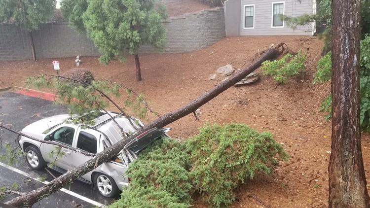
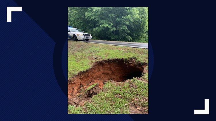
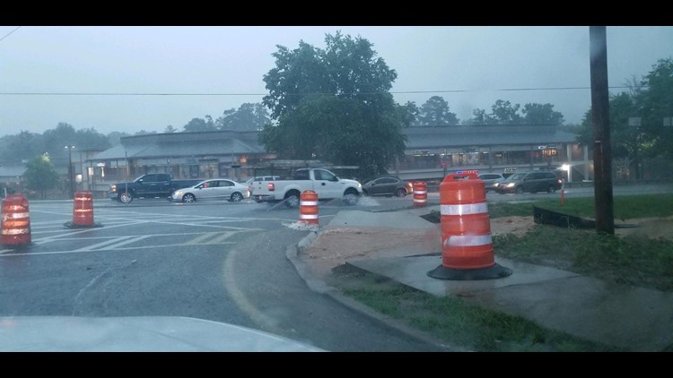
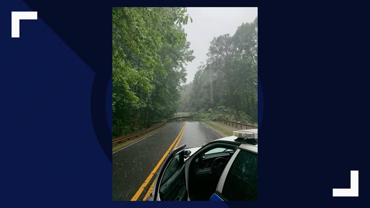
ATLANTA — Gulf moisture continues to push northward through Georgia, bringing with it large amounts of tropical rain.
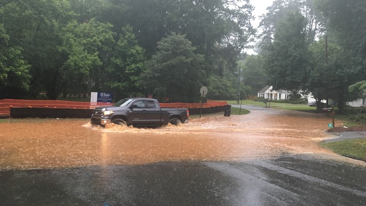
As of 8 a.m. Sunday, the National Weather Service said that as much as 6-inches of rain had fallen over some areas of metro Atlanta since Saturday morning.
A Flash Flood Watch remains in effect for much of western Georgia, central Georgia and northeast Georgia, including metro Atlanta, through Sunday evening.
The Storm Prediction Center has not placed any part of the Southeast at risk for severe weather on Sunday, however, flooding rains are expected to continue.
More heavy rainfall is expected as showers and thunderstorms should continue to move across the area in waves during the day on Sunday.
WEATHER HAZARDS

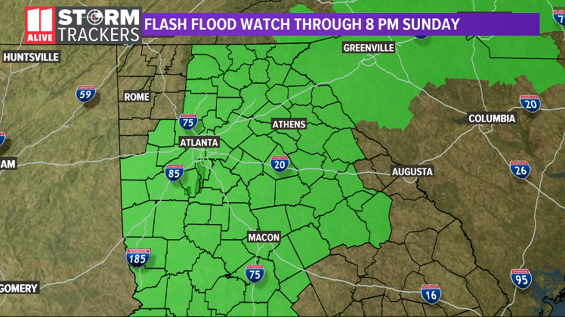
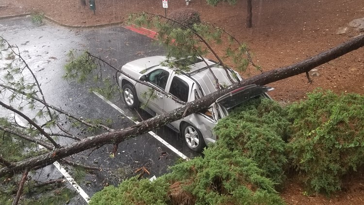
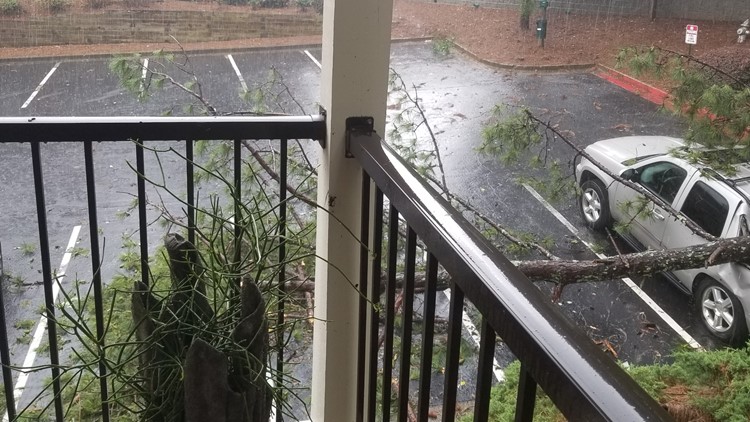
The hazard from any thunderstorms that move through include the possibility of heavy rainfall amounts, gusty winds and frequent, vivid lightning.
Also, flooding along rivers, creeks and streams which are near full or already out of their banks could become worse. Additional heavy rainfall may cause rapid rises, especially in smaller creeks and streams, with little or no notice.
Rainfall amounts of up to an additional 2 inches will be possible through the day on Sunday with locally higher amounts possible, especially in areas where heavy rain continues for an extended period.
SUNDAY MORNING

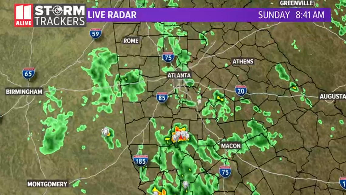
Showers are moving to the northeast out of southern Alabama and are pushing toward north Georgia. More rain is expected to develop through the remainder of the morning hours.
SUNDAY AFTERNOON AND EVENING

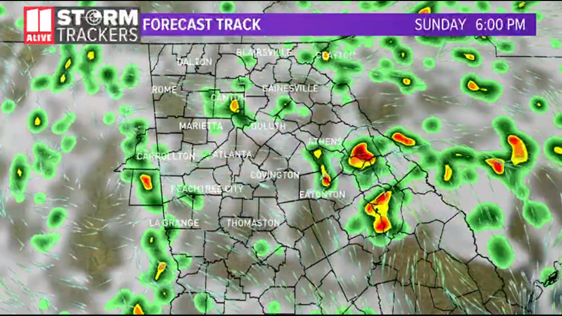
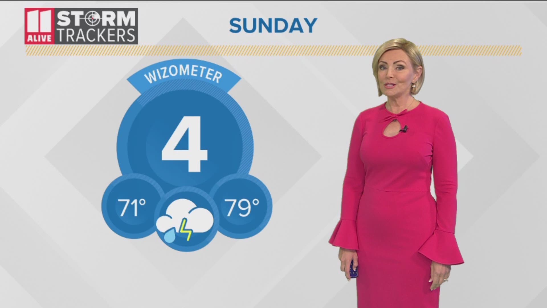
Additional bands of showers are expected throughout the remainder of the day on Sunday before becoming more scattered Sunday night.
MONDAY

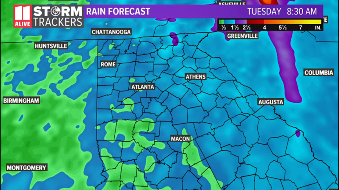
Showers and thunderstorms are expected each day through at least Thursday, with the highest probability of heavier showers coming on Sunday through early Tuesday morning.
BE ALERT FOR FLASH FLOODING
Flash flooding has become an increasing concern with the large rainfall amounts across the metro area. Stay aware of changing forecast conditions and the possibility of Flash Flood Warnings which may be issued with little or no notice.
Weekend severe weather - June 7-9, 2019
In a Flash Flood situation, you will need to be prepared to take immediate action to safeguard life and property.
Stay with the 11Alive Storm Trackers for the latest information and any possible weather warnings.
MORE HEADLINES |

