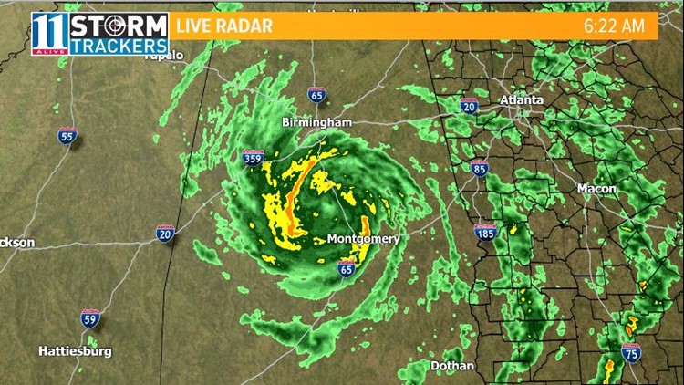
ATLANTA — Subtropical storm Alberto officially made landfall in Florida, Monday, between Laguna Beach and Panama City around 4 p.m. central time.
By 11 p.m., however, the system was downgraded to a subtropical depression.
Impact
►Alberto track: Forecast cone, spaghetti models and satellite
The storm is now spiraling north through Alabama dropping rainfall and blowing 30 mph wind gusts. The storm is steadly weakening
The storm will bring in heavy rain into Tennessee, Kentucky, Indiana and eventually into Michigan.

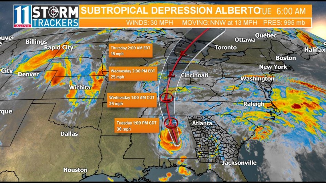
Even though the strongest part of the storm will be to our west, we will still be impacted by the system.
Scattered showers and thunderstorms will be around daily through Thursday. Some storms may even be strong to severe.
With our current wet pattern, flash-flooding is a big concern. A flash flood watch in is in effect until Tuesday evening.

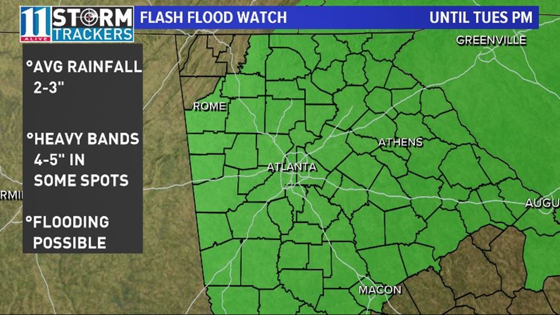
Those who live near flood-prone areas should watch the forecast closely.
It's subtropical, not tropical
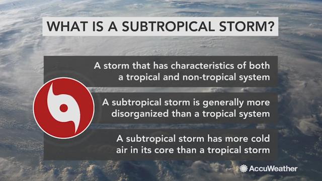
This storm isn't initially being classified as tropical storm or depression but rather a subtropical storm.
So what is the difference?
A tropical storm gets most of its energy and storm structure from very warm ocean waters. It also has a good connection with upper-level winds that help to ventilate the storm keeping it well structured symmetrically.
A subtropical storm isn't pulling energy from water as warm as a tropical cyclone and isn't supported as much by upper-level winds for ventilation so the storm ends up being asymmetrical or lopsided.


