ATLANTA — We are in the peak of severe weather season in North Georgia.
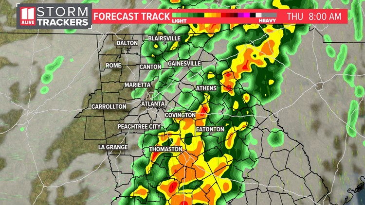
We have been tracking heavy rain and storms moving through North Georgia Thursday morning. As expected, they have been weakening. Heavy rain is leading to standing water on some roadways. Some gusts around 40 mph are possible as the line moves through.
As storms continue pushing eastward throughout Thursday morning, the severe weather risk also shifts east. The severe weather outlook for Thursday as a level 1 out of 5 risk for our eastern counties, and a level 2 out of 5 risk for eastern Georgia.

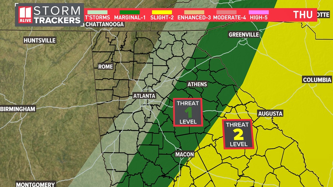
The main risk with these storms will be damaging wind, but a brief tornado or two will also be possible.
These storms continue pushing through the metro area between now and 7 a.m.

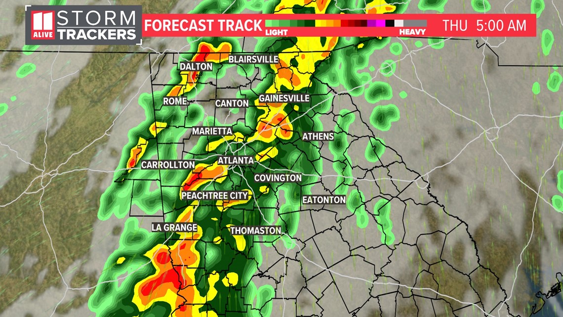
As the morning commute continues, the storms push east of Atlanta


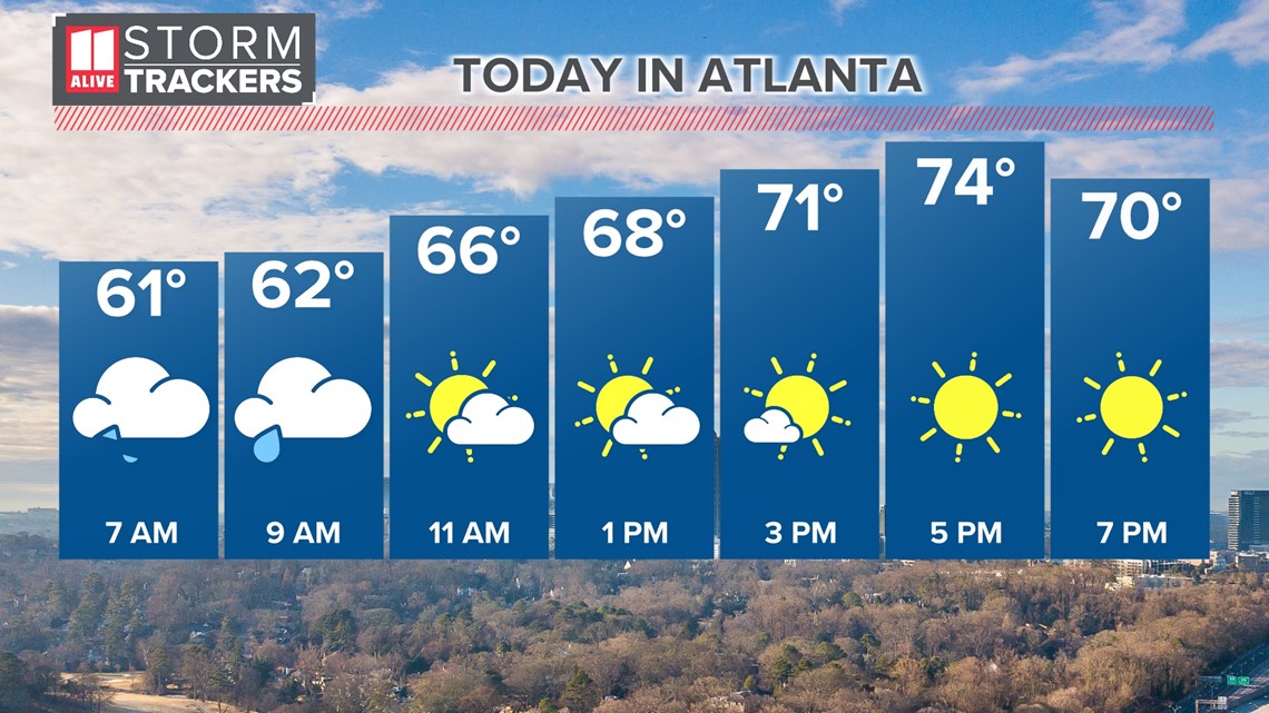
Once we get to the latter part of the morning on Thursday, storms will have moved out of the region and drier air will move in behind the front sparking the storms.
Sunshine returns into the afternoon. It will be breezy with temps rebounding into the 70s.

MORE FROM THE 11ALIVE STORMTRACKERS
DOWNLOAD THE 11ALIVE APP:
Set up weather notifications by clicking the Gear icon in the upper right corner of the app. Select Notification -> Notification Settings -> Severe Weather Alerts -> Toggle the Severe Weather Alerts button to the right to turn alerts on.
Send photos and videos through the app by selecting the Near Me feature on the bottom right task bar of the app and entering your information.
TEXT YOUR WEATHER PHOTOS TO US: 404-885-7600
JOIN THE 11ALIVE STORMTRACKERS FACEBOOK GROUP: Nearly 10,000 metro Atlanta and north Georgia weather enthusiasts share their weather photos every day. Click here to join the group!

