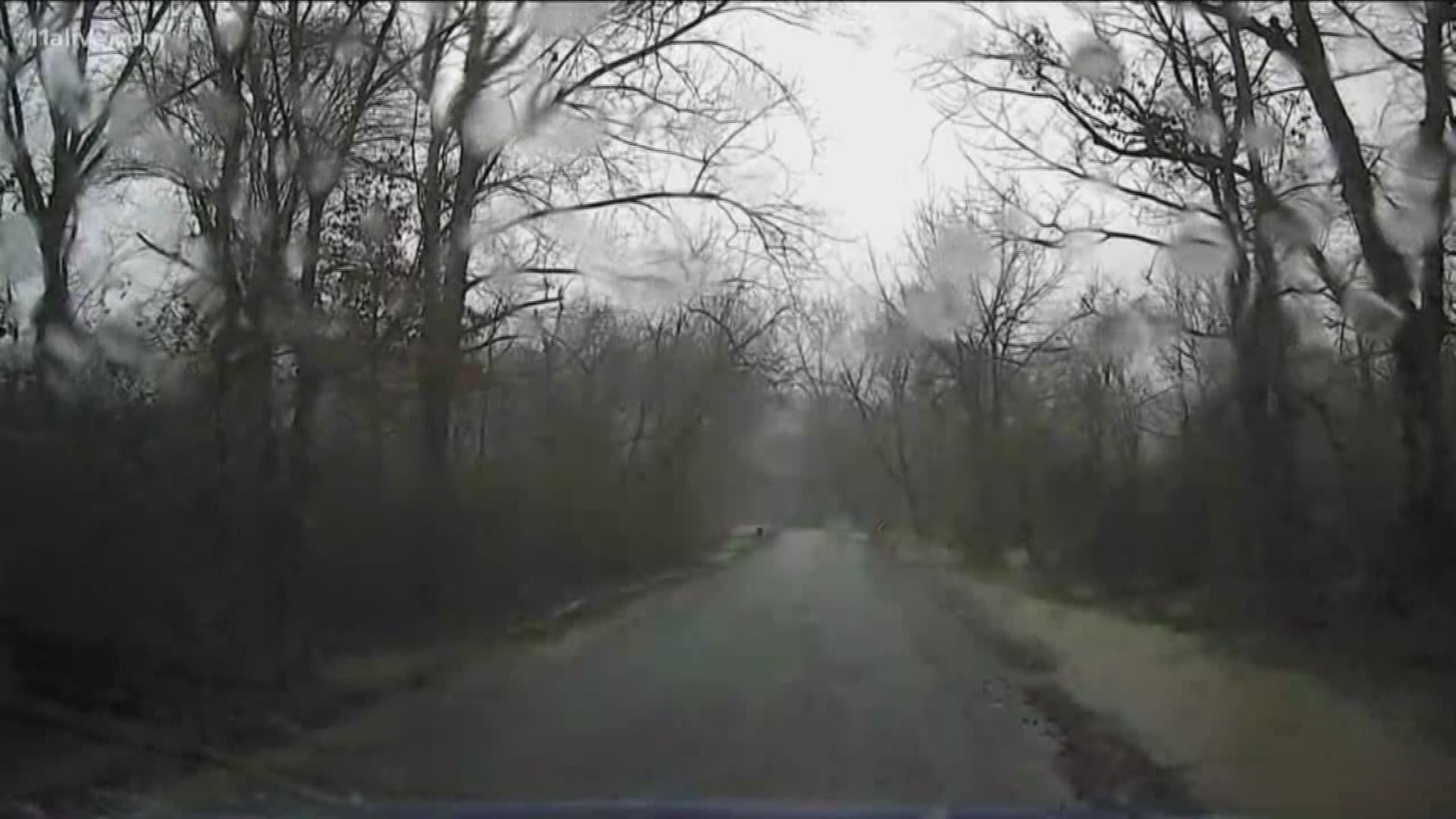
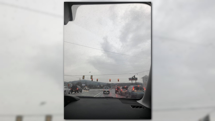
ATLANTA — Heavy rain remains in the forecast through at least Sunday, with several rounds moving across north Georgia.
An additional 6 inches of rainfall is likely over parts of northwest Georgia. Across much of metro Atlanta, up to an additional 3 inches of rainfall accumulation is likely.
The heaviest rainfall is anticipated from late Wednesday into Thursday.
The soil is saturated and river levels are high across much of north and northwest Georgia thanks to recent heavy rainfalls. Significant runoff from this week's rainfall will likely produce some creek and river flooding across the region -- primarily along and north of the I-20 and I-85 corridors.

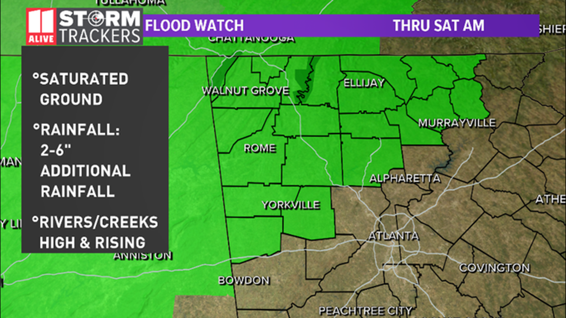
A Flood Watch is in effect through Saturday morning for portions of northwest Georgia -- including Bartow, Catoosa, Chattooga, Dade, Walker, Whitfield, Murray, Polk, Gordon, Cherokee, Dawson, Fannin, Gilmer, Lumpkin, Pickens, Union, Towns and White counties.
Between 2-and-6 inches of rainfall is expected over already saturated ground in the affected counties. In addition, rivers and creeks in those areas are already high and expected to rise higher as heavy rains continue.
As the rain begins to move across more of the state, additional flood watches may be needed across more of the region.
Early Tuesday morning, temperatures in the far north Georgia mountain region fell into the mid-to-upper 30s, which resulted in some areas in the higher elevations seeing some sleet.
PRIMARY THREATS

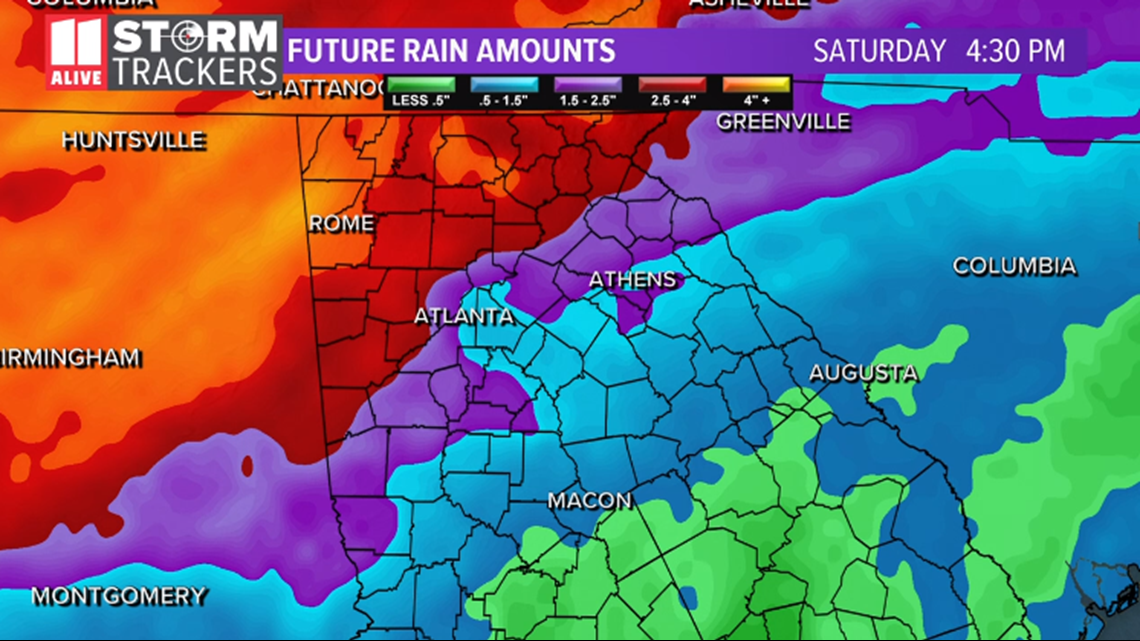
The primary threats from this series of storm systems include heavy rainfall over already saturated ground, which may bring flash flooding with little or no advance notice. Periods of heavy rain can quickly overwhelm or clog storm drains and ditches with debris and cause extensive street flooding and road ponding.
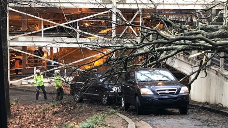
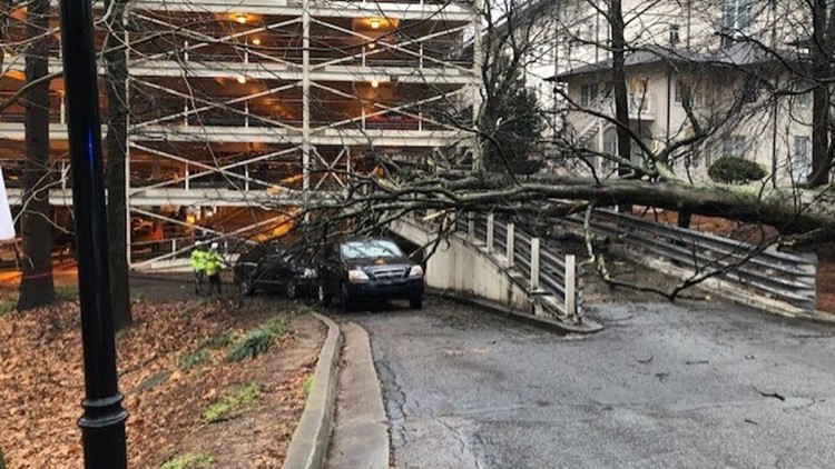
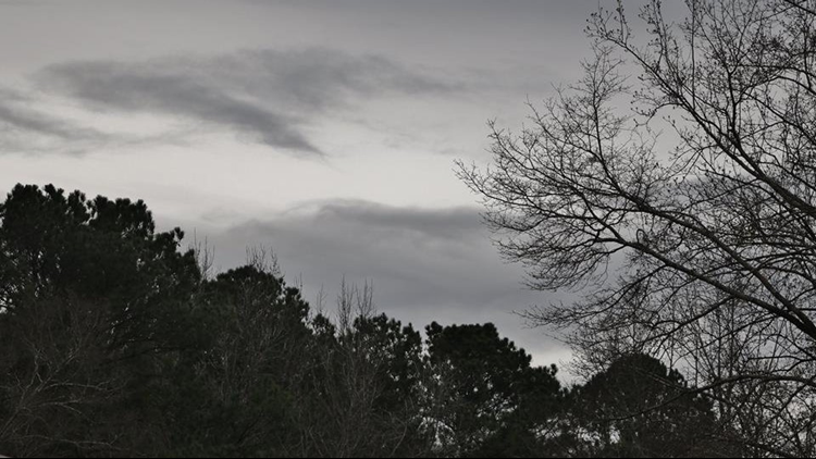
Viewer photos of heavy weather from the week of Feb. 18
At this time of year, this is especially true as fallen leaves and other debris can clog drainage systems.
Flooding of the larger creeks and rivers is likely with some of the expected heavy rainfall amounts and should be monitored closely. Rapid accumulations of rainfall can produce flooding conditions quickly, so remain alert to changing forecast conditions.
Stay with the 11Alive Storm Trackers for updated information, along with any advisories or warnings.

