ATLANTA — After seven days without any measurable rainfall in Atlanta, showers and strong thunderstorms return to the forecast for the capitol of the Peach State on Monday.
The Storm Prediction Center has placed north Georgia (including Atlanta) under a Level 2 out of 5 threat of severe weather. There is a level 1 of 5 threat of severe weather for the metro area.

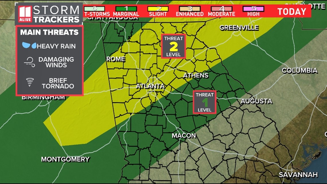
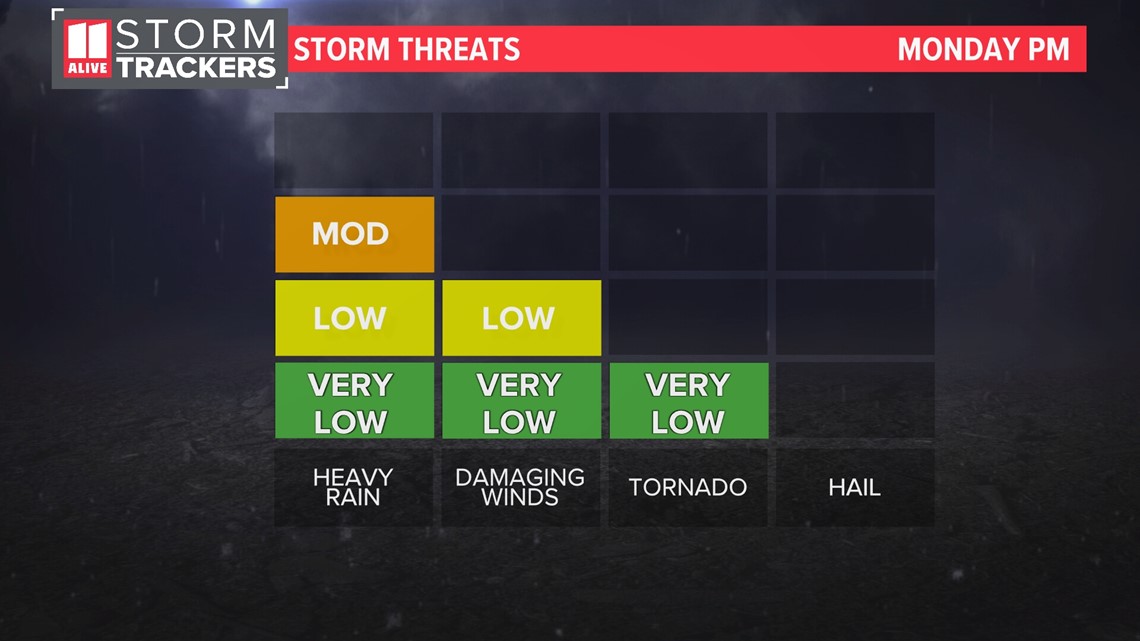
Isolated storms could become strong to severe. Damaging winds will be our primary severe weather threat. The tornado risk is low but not zero.

Timeline of storms
A line of storms will move through the area between 3 p.m. and 6 p.m. with the metro Atlanta area's timing during the evening commute.
Storms have moved into the state and will continue pushing southeast. Storms are expected to intensify as they get closer to the Atlanta area.

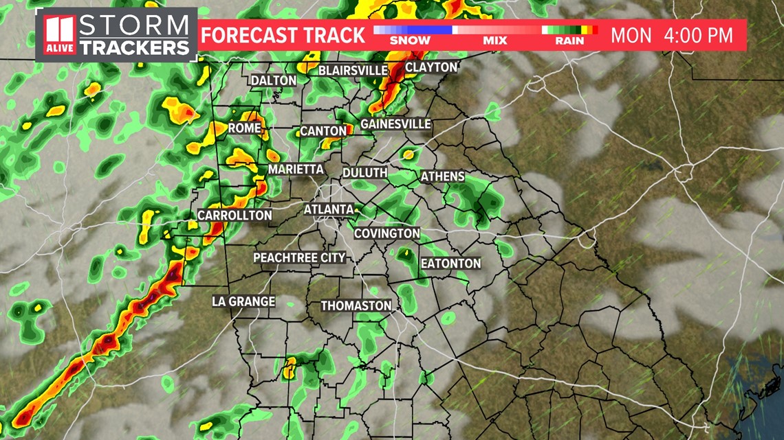
Storms will reach the metro around 5 PM, so this will likely have an impact on your evening commute.

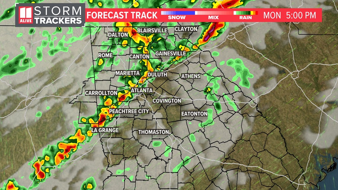
Storms will bring locally heavy rain and lightning. Although we expect a gradual weakening as the storms push further east, isolated strong and severe storms are possible.

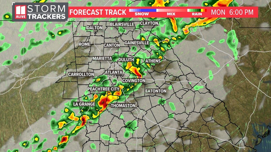
The storms continue weakening later in the evening as they push further east.

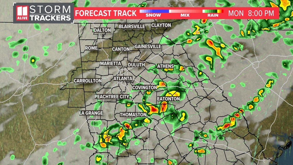
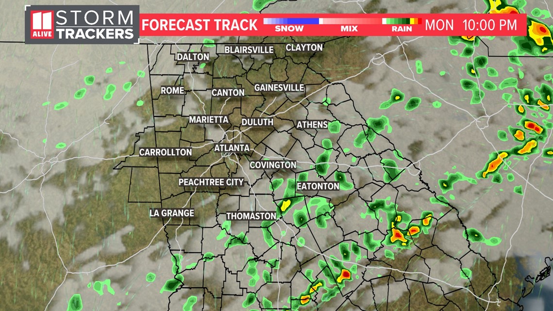
While a few isolated strong storms are still possible after sunset, the line of storms will break apart overnight.

Severe weather season ramps up in Georgia during the spring months of March, April and May. It's a good time to remember your severe weather plan with your household.


