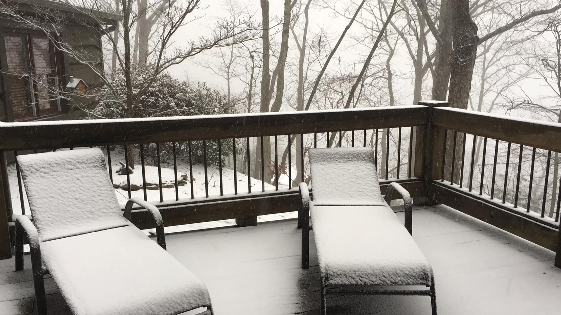
ATLANTA — A strong Arctic cold front moving into the Southeast is bringing with it snow and some of the coldest weather of the season.
Some state offices and schools were closed Tuesday. For a full list, click here.
Metro Atlanta is no longer under a Winter Weather Advisory.
Potential threats
Major threats from this system are wet roads across North Georgia beginning Tuesday morning from the precipitation, the possibility of black ice Tuesday night and Wednesday morning and from dangerously low wind chills on Tuesday night and Wednesday.
Tuesday afternoon
Between 10 a.m. and noon, the rain will continue to push in. Mainly rain has pushed through. Precipitation is ending this afternoon. Temperatures will drop to the mid 30s around 3 p.m. with sunshine.
Tuesday night and Wednesday
Once the sun begins to set --the temperatures will begin to fall off into the 20s and the wind can make it feel like the teens in some spots.
The refreezing can potentially take place Tuesday night as the temperatures continue to drop.
Wednesday will remain cold and breezy with highs only rebounding into the low 40s.
Stay with the 11Alive Storm Trackers throughout the week for the latest weather updates and any additional weather statements or possible weather warnings.
► UPLOAD | Send us your weather pictures here
► Download the FREE 11Alive News app now in the iTunes store or on Google Play.
► POWER OUTAGES CHECK | Georgia Power customers, check here. Georgia EMC customers check here.

