SANIBEL, Fla. — Those wishing to get a closer look at the damage caused by Hurricane Ian can now use a tool by the National Oceanic and Atmospheric Administration (NOAA) to view aerial images of some of the hardest hit areas.
After a major weather event, NOAA's aircraft fly over specific areas identified by NOAA in coordination with FEMA and other state and federal partners
The images are then compiled into a mapping tool used by emergency and coastal managers to develop recovery strategies, aid in search and rescue efforts, identify hazards to navigation, and provide documentation of damage assessment by comparing before-and-after imagery.
The general public can also take advantage of the tool to get a big-picture look at the damage done to their homes and communities.
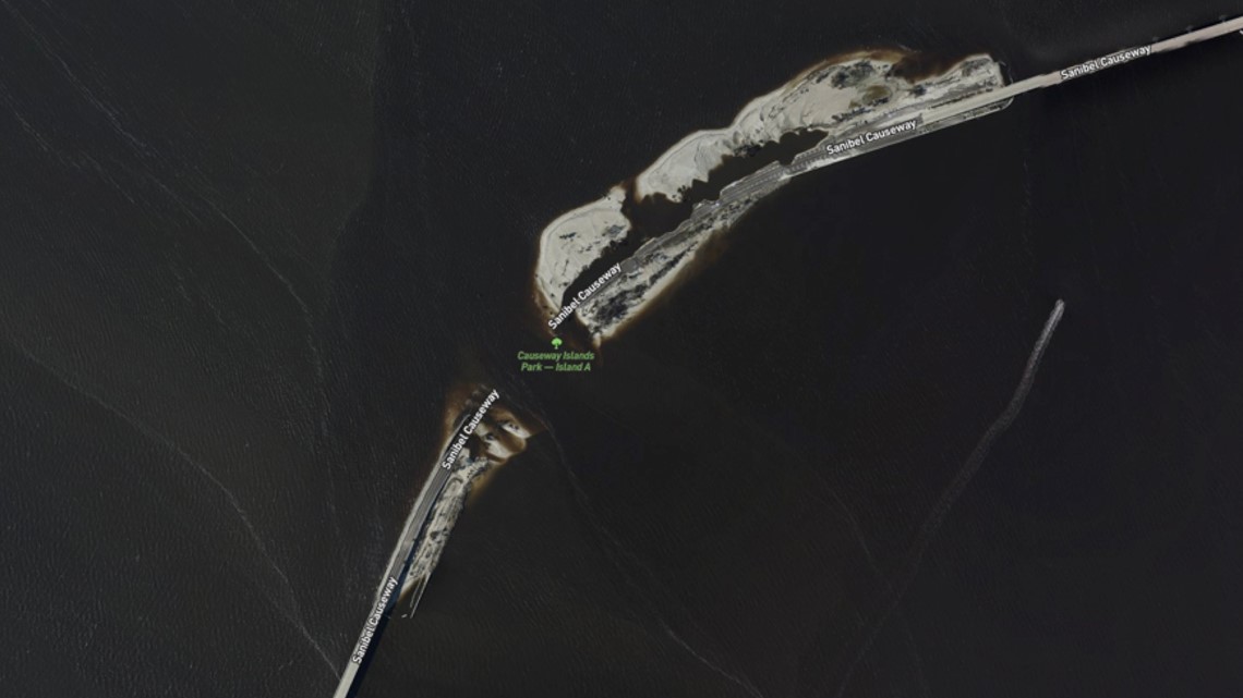
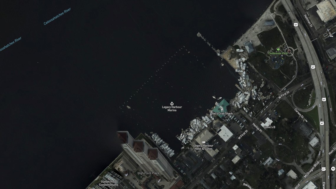
Here are some images of southwest Florida before and after Hurricane Ian swept through.
Sanibel Causeway
(Before image)


(After image)

Legacy Harbour Marina
(Before image)


(After image)

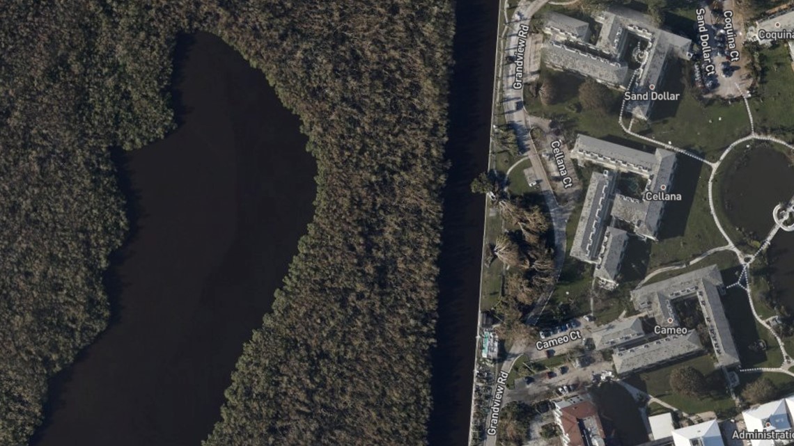
The Island at Shell Point
(Before image)

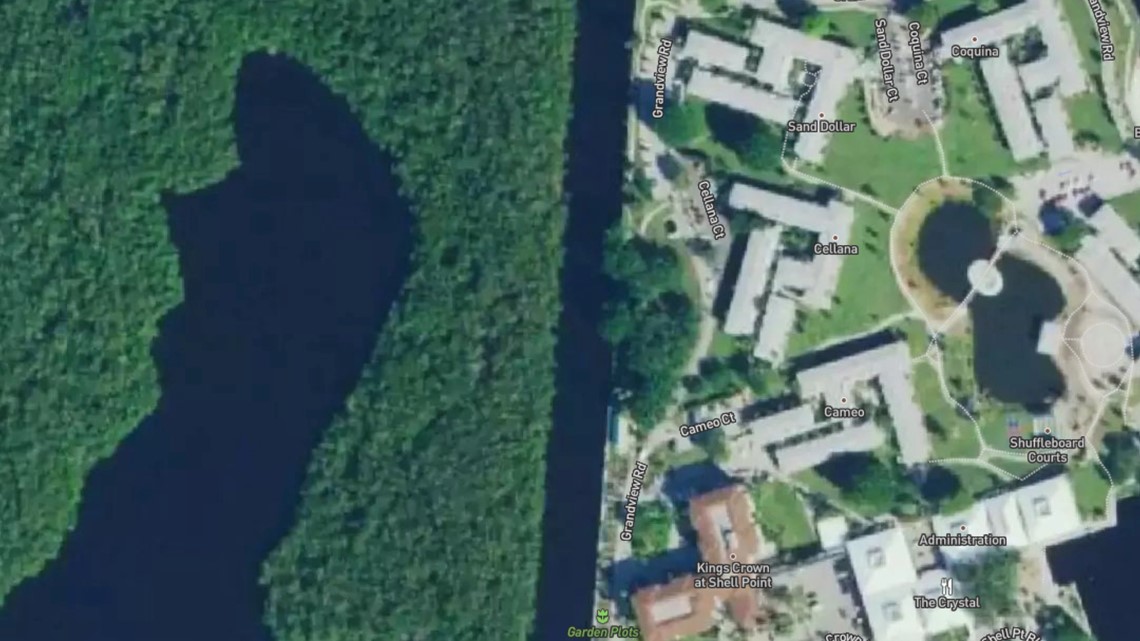
(After image)

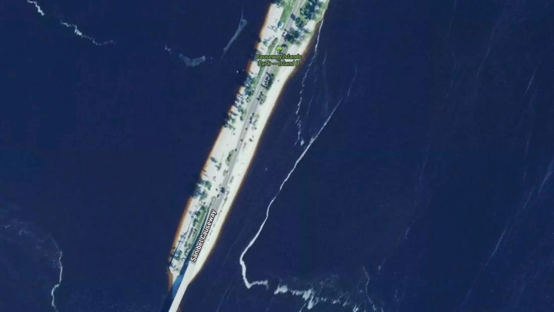
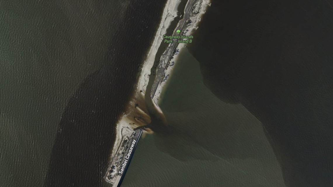
Causeway Islands Park
(Before image)

(After image)

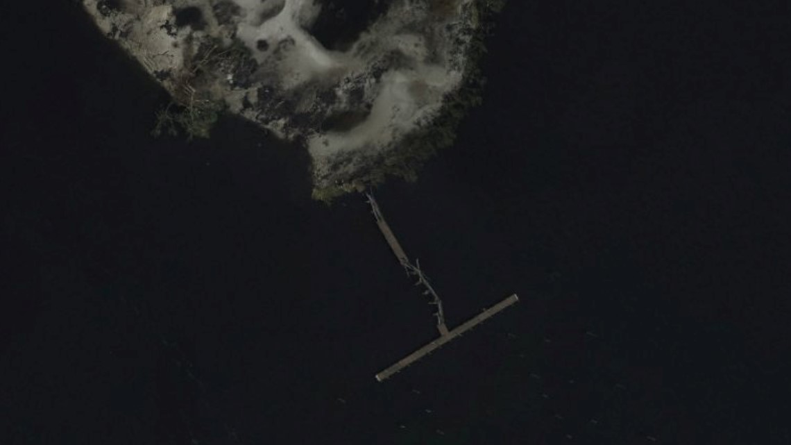
Lofton's Island
(Before image)


(After image)

"Aerial imagery is a crucial tool to determine the extent of the damage inflicted by flooding, and to compare baseline coastal areas to assess the damage to major ports and waterways, coastlines, critical infrastructure, and coastal communities," the NOAA website reads. "This imagery provides a cost-effective way to better understand the damage sustained to both property and the environment."
To check out the mapping tool, click here. You can also click here for tips on how to use the tool.

