ATLANTA — Editor's Note: This story was last updated at 11 a.m. Sunday, August 27th.
Updates on Idalia at https://www.11alive.com/article/weather/hurricane/idalia-hurricane-track-georgia-2023-severe-weather/85-c6101c05-61f1-49f6-9950-fd8392953c74
------------------------------------
Tropical Storm Idalia formed Sunday, and now has sustain winds up to 65mph. The Storms will likely become a hurricane later today.

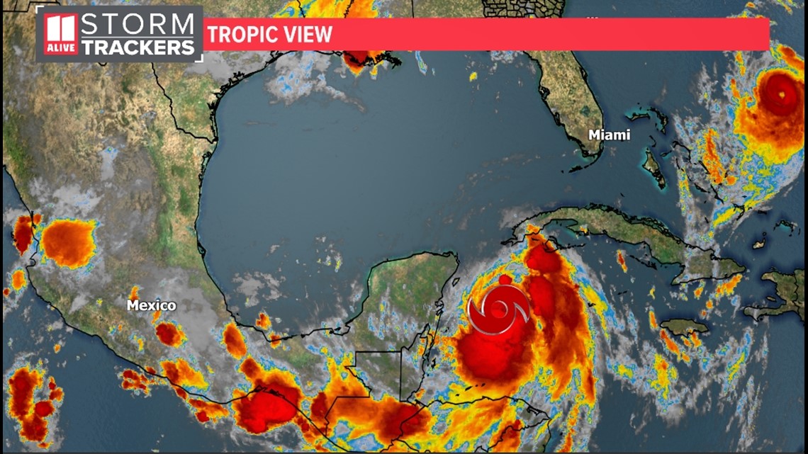
Idalia is moving slowly north at 7mph. The storm will move over the extreme western tip of Cuba later today as it continues to strengthen in the Gulf. The storm is forecast to become a Category 2 or 3 Hurricane before making landfall along the west coast and panhandle of Florida, then head northward into southeastern Georgia.

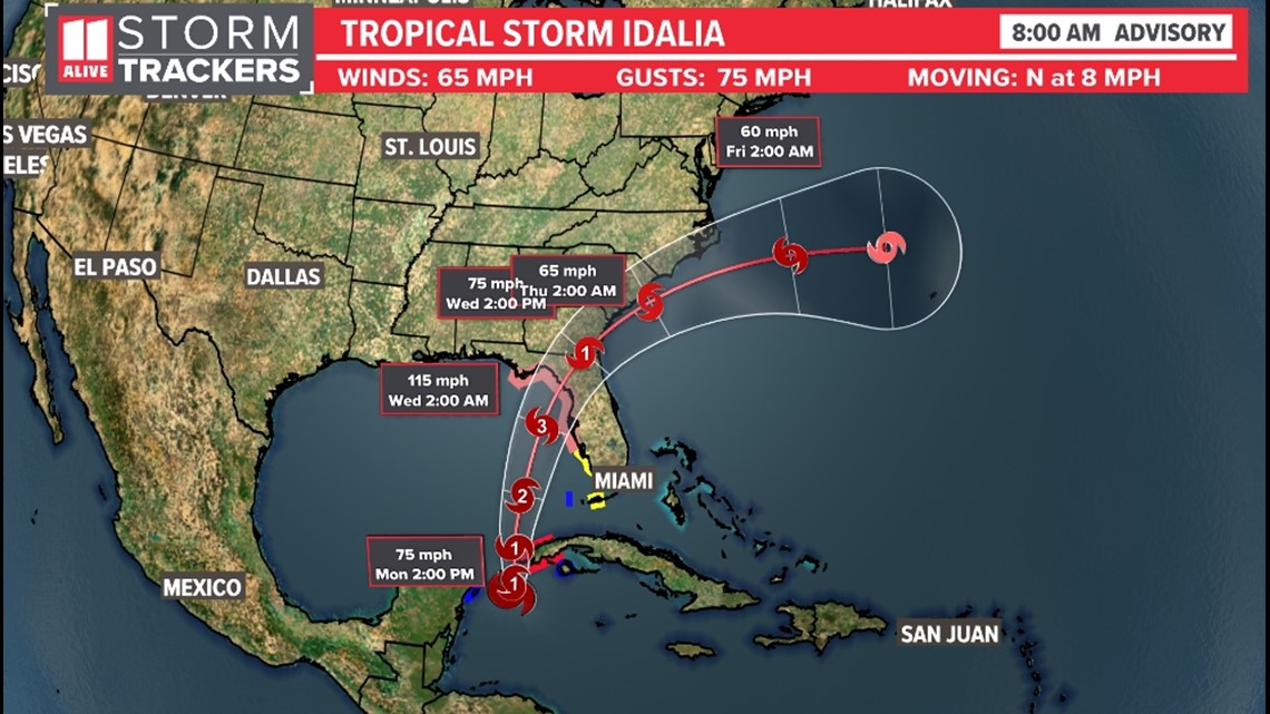
The storm could produce heavy amounts of rainfall for parts of north central Florida and southern Georgia.
Where will it head?
The Florida Gulf Coast needs to watch this system closely in the coming days.
Here are the spaghetti models from Sunday morning, showing where the center of the storm may be steered. Many are targeting the Big bend of Florida, but there has been a slight shift more east in the trends since early today. There is still uncertainty with where it ultimately heads.


Would this mean implications and impacts for parts of Georgia?
It looks likely that Georgia will see rainfall, but exactly how far north that rain stretches will be dependent on Idalia's exact path. Rain in the Atlanta area from this storm would be Wednesday. Rain chances right now associated with the tropics in North Georgia are around 50%, but this could change quickly.
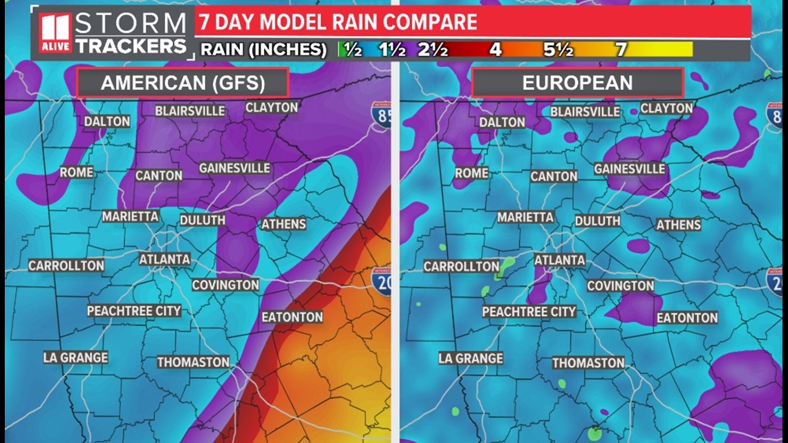
Here's a rain comparison from the American and European models. See the difference in rain totals in the next week? That's due to slight differences in the tracks of where these models think this storm will head.

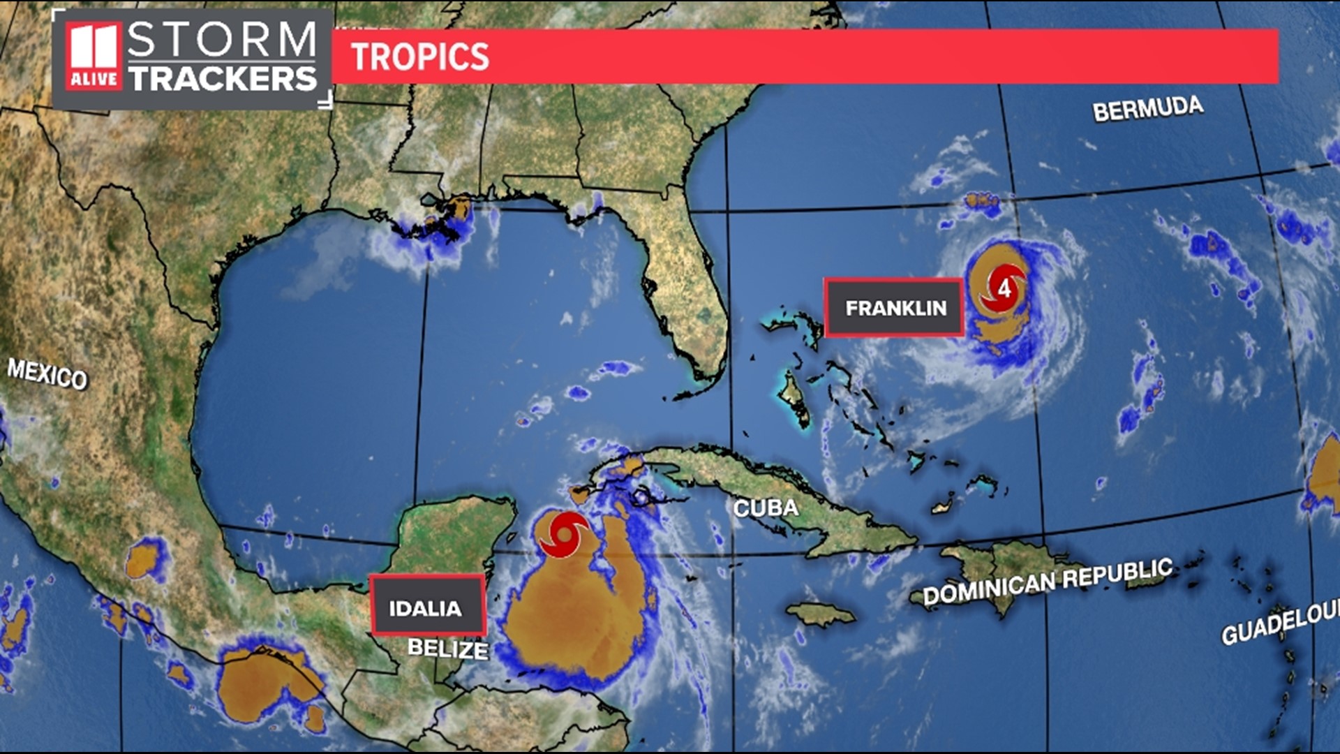
Also In the Tropics: Franklin strengthens
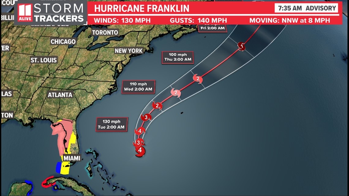
Hurricane Hunters found Franklin stronger Monday morning, which lines up with satellite imagery as well. Maximum winds are now close to 115 mph with higher gusts. The storm is undergoing rapid intensification, and is now a major hurricane.
Although this storm is hundreds of miles east of the U.S., large swells generated by Franklin could cause
life-threatening surf and rip current conditions through the beginning of this week along portions of the east
coast of the United States.

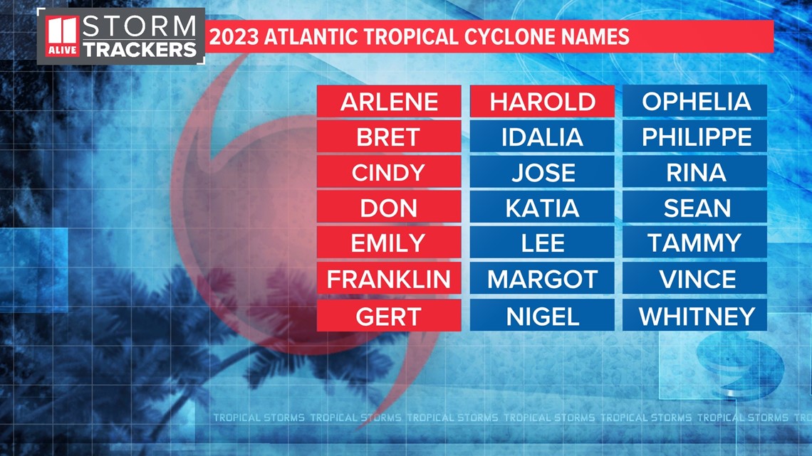
In the Atlantic basin, the "I" named storms have been retired most with a total of 14 times, most recently "Ian" in 2022. Earlier in August, the National Oceanic and Atmospheric Administration (NOAA) updated its hurricane outlook, predicting 14 to 21 total named storms.

