ATLANTA — We are tracking multiple tropical systems in the Atlantic Basin.
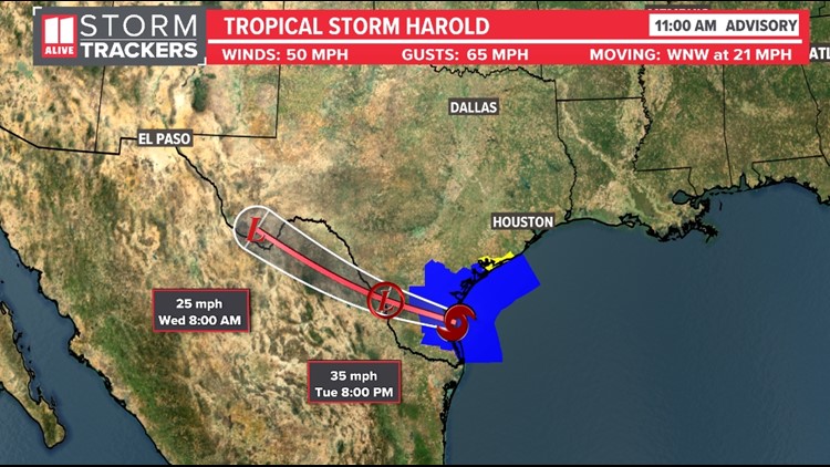
Harold has formed in the Gulf and is headed toward southern Texas. The storm will make landfall this afternoon.


This could bring beneficial rain to southern Texas, from south of Austin to the Mexican border. Many of these areas have been drought-stricken this summer and baking under weeks of 100+ degree temperatures. They will also have to deal with a storm threat and flood risk. This system stays well to the south of Georgia.


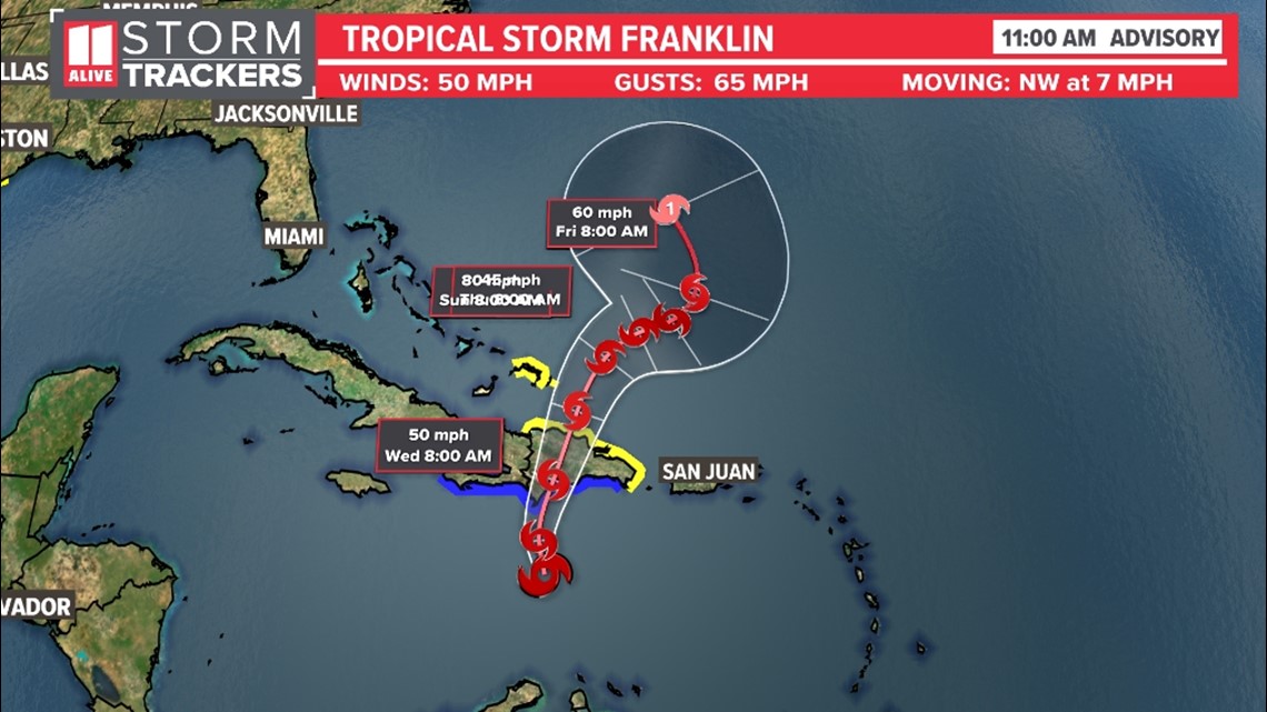
Franklin is currently moving west through the Caribbean Sea, but it is expected to veer northward then eventually east. It will impact Haiti and the Dominican Republic, where it is expected to make landfall early Wednesday.
It is forecast to strengthen into a category 1 hurricane as it enters into the open water of the Atlantic. It also stays away from the US coastline.
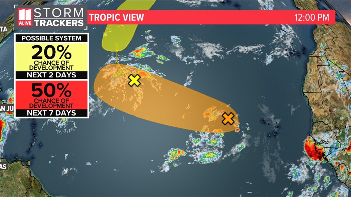
There is another system coming off the coast of Africa with a medium risk of developing into a named tropical system.


Historically, we have 85% of tropical activity in the Atlantic left to go this season. Hurricane Season officially peaks on Sept. 10. Late August through most of October can be relatively active on busy years. The season officially ends Nov. 30.
El Niño will eventually increase wind shear in the Atlantic, which can suppress tropical development. But this wind shear has been slow to show up, which is a main reason why NOAA increased their odds of above-normal activity in the Atlantic basin for the season. In their early August update, they are now predicting 14 to 21 total named storms.


