
PERRY, Fla. — Helene made landfall Thursday at 11:10 p.m. as a Category 4 hurricane in the Florida Big Bend region just east of the mouth of the Aucilla River. It was about 10 miles west-southwest of Perry, Florida. Maximum winds at landfall were 140 miles per hour with a minimum pressure of 938 MB.
The powerful hurricane is now inland over Georgia. After 2 a.m., the storm was now a Category 1 storm with winds of 110 mph. It was located near Valdosta and still rapidly moving north-northeast at 20+ mph.
That location was only about 20 miles northwest of where Hurricane Idalia came ashore last year at nearly the same ferocity and caused widespread damage.
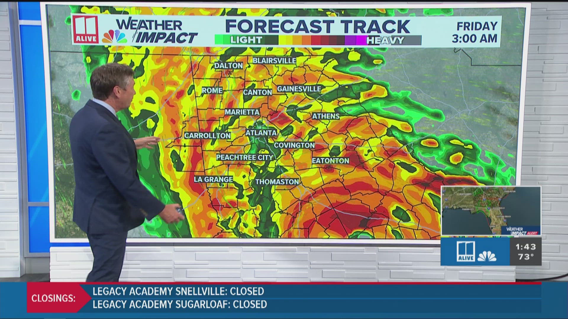
Hurricane Helene prompted hurricane, tropical storm and flash flood warnings in all 159 counties in Georgia that are also under a state of emergency enacted by Gov. Brian Kemp. There are more than 215,900 power outages in Georgia.
The storm roared into Valdosta, roughly an hour and a half drive from Perry, Florida, where 11Alive's Angelina Salcedo was there during heavy bands of rain and strong, gusty winds. The storm is now moving north into metro Atlanta and north Georgia.
Watches and Warnings:
We now have Hurricane Warnings extending as far north as Spalding, Butts, Jasper, Pike, Lamar, and Upson counties, where the top gusts could exceed 80 mph. The rest of North Georgia is now under a Tropical Storm Warning. We are expecting wind gusts of 50 to 70 mph with locally higher peak gusts near the center. This is the first Tropical Storm Warning for the area since Zeta in October 2020.
Interactive Helene Radar
Click here for the interactive radar tracking Helene.