ATLANTA — A severe thunderstorm warning has been issued for a few Georgia counties.
Scroll down for details.
Strong to severe storms are expected to move across the region once again Tuesday evening and Tuesday night as a cold front moves through the state.
Most of northwest Georgia -- including parts of metro Atlanta to the north and northwest of the city -- are under a level 2 risk area for severe weather. The remainder of metro Atlanta and north Georgia are under a Level 1 risk area for severe weather from this particular storm system.

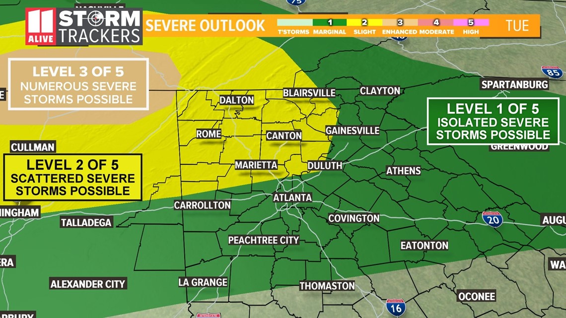
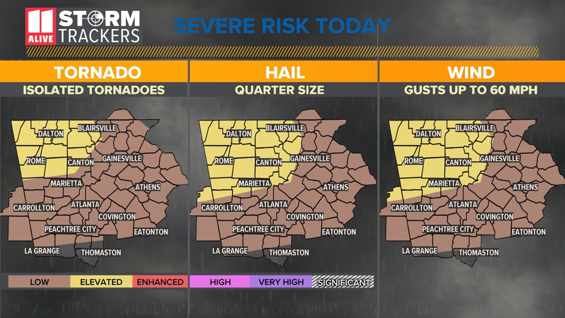
There is an elevated risk for up to quarter-sized hail, damaging wind gusts up to 60 mph and the development of isolated tornadoes in and near the highlighted areas. Isolated heavy rainfall is possible in some of the far North Georgia mountains.
According to 11Alive meteorologist Wes Peery, the strongest storms are expected to enter the northwestern corner of Georgia around 8 p.m., moving toward metro Atlanta.

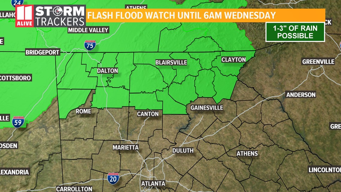
With the heavy storms and anticipated rainfall, a Flash Flood Watch has also been issued for portions of far north Georgia until early Wednesday morning. The watch includes parts of Dawson, Fannin, Gilmer, Lumpkin, Pickens, Union, Towns, White, Catoosa, Chattooga, Dade, Gordon, Murray, Walker and Whitfield counties.

Here's when to expect the strongest storms:
Tuesday evening
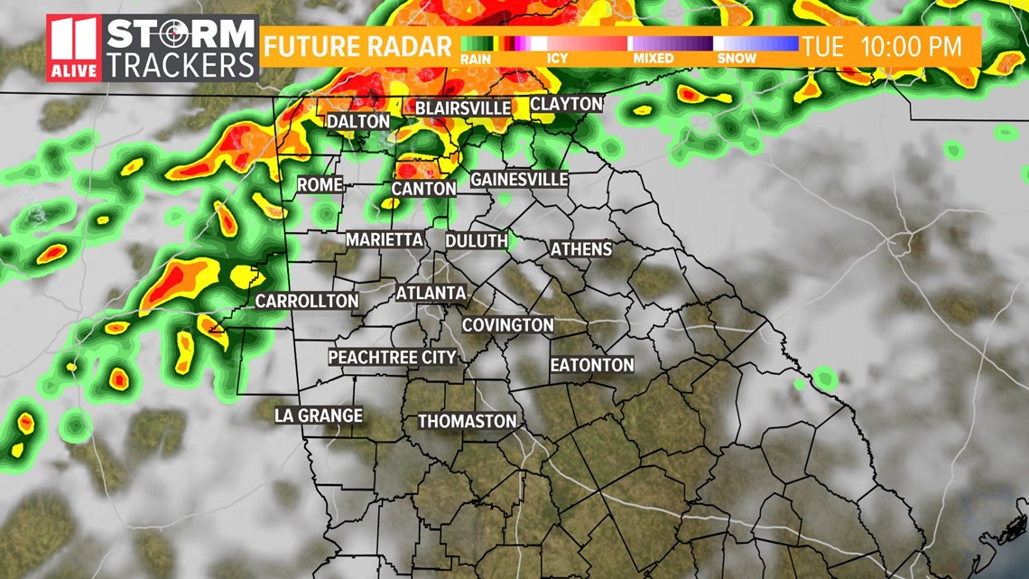
By 10:30 to 11 p.m., the strongest storms should be in or near the city of Atlanta itself, with threats nearing Fulton, Cobb, DeKalb, Gwinnett and surrounding counties.
Overnight hours
By 2 a.m. to 3 a.m., the storms should be moving well to the east of Athens, away from metro Atlanta.
The strength of the storms should diminish during the overnight hours, as they will not have the heat of the day to fuel their fury.
Wednesday
By Wednesday afternoon, clouds are expected to clear out with highs in the low 70s.
The 11Alive StormTrackers are tracking these storms as they continue to move into the state over the course of the evening hours and overnight.

INTERACTIVE RADAR: Track rain in your county
Stay with 11Alive for the latest updates and possible weather statements or warnings as the day progresses.
Here is the latest:
Tuesday, March 24
11:37 p.m. | The National Weather Service said a severe thunderstorm warning has been issued for Cobb, DeKalb, Fulton and Gwinnett counties until 12:15 a.m. March, 25.
At 11:35 p.m. a severe thunderstorm was located over Kennesaw, or 7 miles northwest of Marietta, moving east at 40 mph.
11:30 p.m. | Floyd County has been removed from the severe thunderstorm warning
10:55 p.m. | A severe thunderstorm warning has been issued for Bartow
Cherokee, Cobb, Floyd, Paulding, and Polk counties. It expires at 11:45 p.m.
At 10:55 p.m., a severe thunderstorm was located near Lindale, or near Rome, moving east at 65 mph.
8:45 p.m. | A Tornado Watch has been issued for parts of northwest Georgia until 1 a.m., including Bartow, Catoosa, Chattooga, Dade, Floyd, Gordon, Murray, Polk, Walker and Whitfield counties.
The primary threat expected from the storms associated with this watch includes up to marble-sized hail, isolated wind gusts of up to 65 mph and the possibility of a couple of tornadoes.

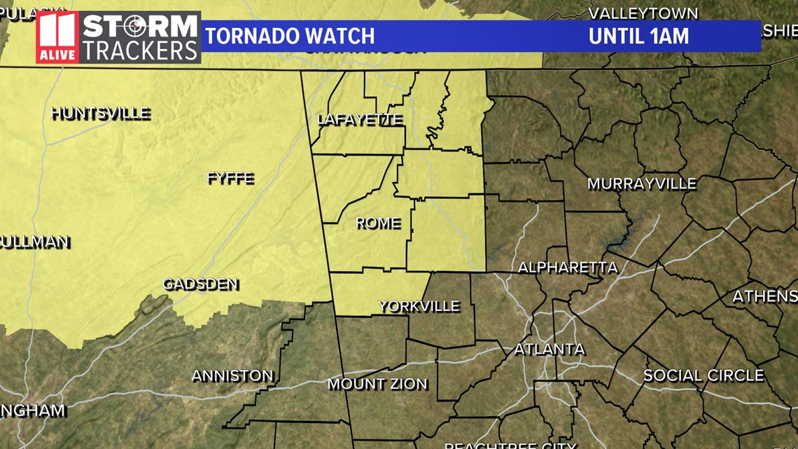
1:15 p.m. | Meteorologist Wes Peery shares the latest run-down on the multi-threat for severe weather this evening.
12:20 p.m. | 11Alive Stormtracker shares view as heavy rain falls in Cumming, Georgia.

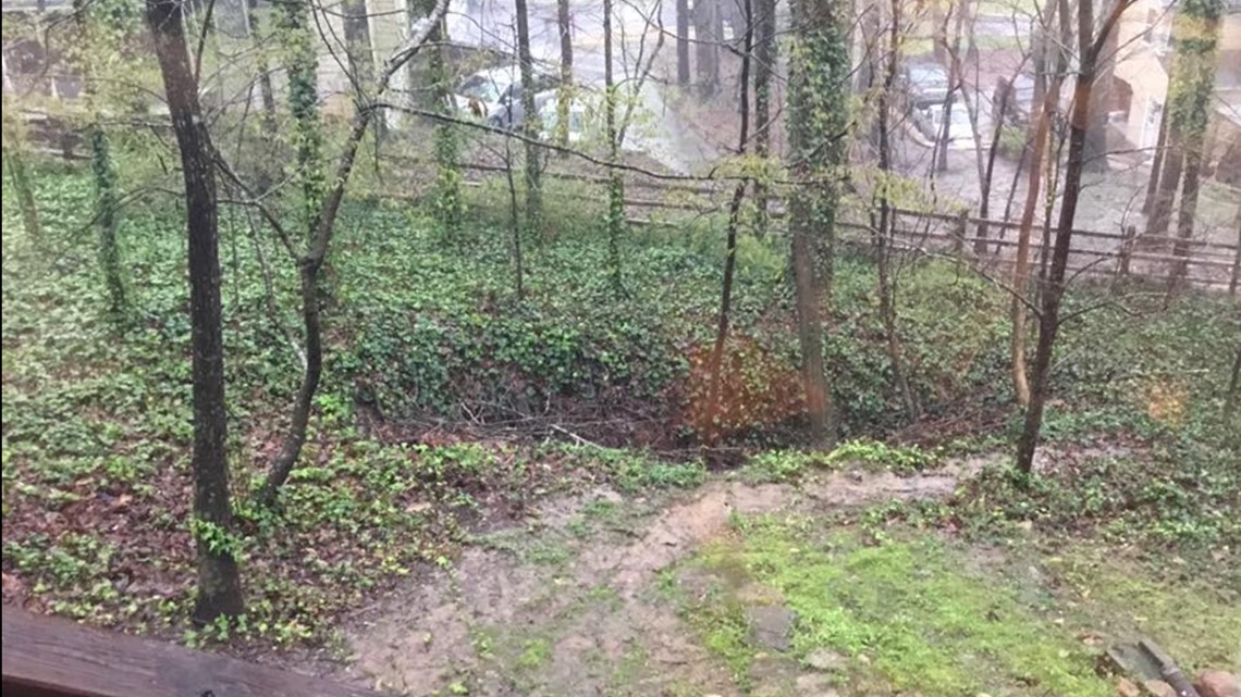
10:25 a.m. | It's starting to rain near the Loring Heights/ Midtown area. Here is a look at Midtown Church.

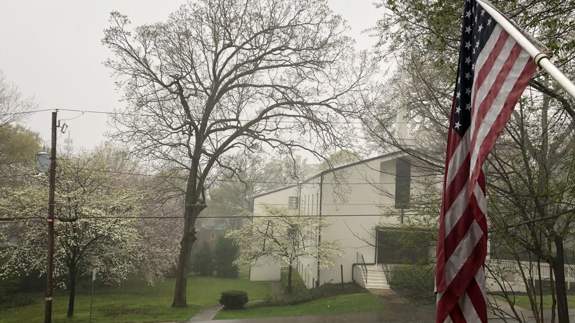
9:40 a.m. | 11Alive team member shares a picture of a "gloomy" neighborhood.

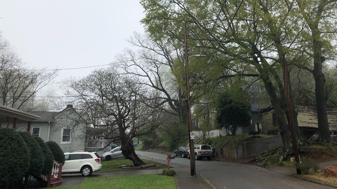
9:00 a.m. | Flood warning issued for Coahulla Creek near Keiths Mill near Dalton until further notice.
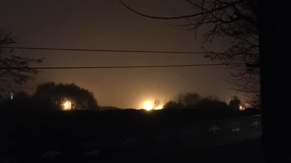
7 a.m. | 11Alive Stormtracker, Carol Simmons, shares this photo of the fog from her home. She described the fog as "rough."

6:40 a.m. | Flash flood watch for Catoosa, Chattooga, Dade, Dawson, Fannin, Gilmer, Gordon, Lumpkin, Murray, Pickens, Towns, Union, Walker, White and Whitfield Counties until March 25.
6:00 a.m. | Chesley gives a recap of what you can expect today.
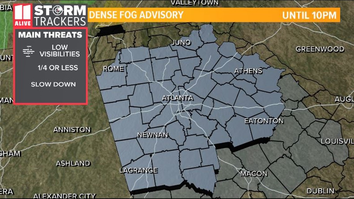
5:00 a.m. | A dense fog advisory was issued for the morning. It is expected to last until about 10 p.m. Expect low visibility.

Download the FREE app now in the iTunes store or on Google Play.
POWER OUTAGES CHECK | Georgia Power customers, check here. Georgia EMC customers check here.
RELATED STORIES |

