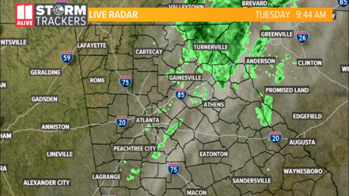
ATLANTA — The line of heavy showers and isolated storms that moved through the area overnight are beginning to move out of north Georgia.
The showers are part of a much larger storm system that caused tornadoes in Texas on Sunday night. This system weakened considerably as it moved into Georgia.
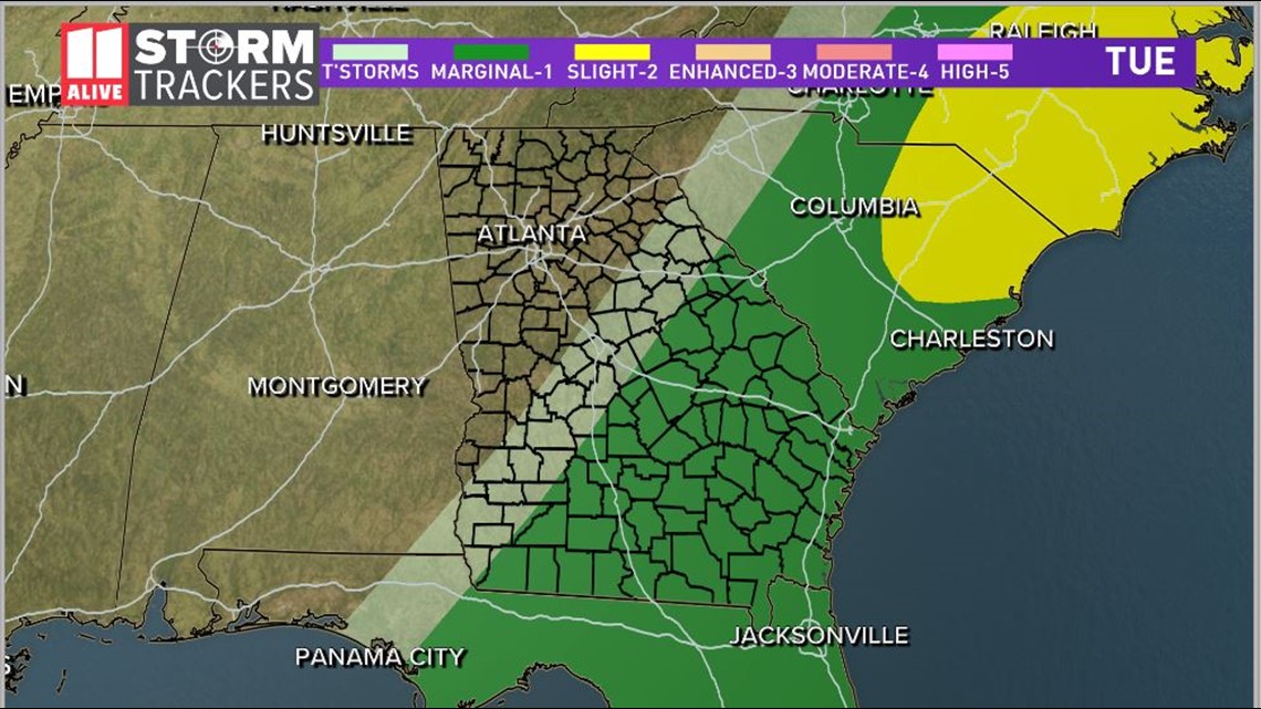
The Storm Prediction Center has moved the "Marginal Risk" or Level 1 out of 5 for severe storms well to the east of Atlanta for Tuesday. That area now covers coastal portions of Georgia and the eastern portions of the Carolinas.
For our area, rainfall will continue to diminish, leading to clearing skies and sun by the afternoon.
Here's the timeline for what to expect through the remainder of the day.
10 a.m. Tuesday
The majority of the rain has moved to the east of Atlanta at this point.


The "Marginal Risk" area for severe weather will shift eastward Tuesday. By that point, severe storms will be more likely for much of east Georgia and the Carolinas.


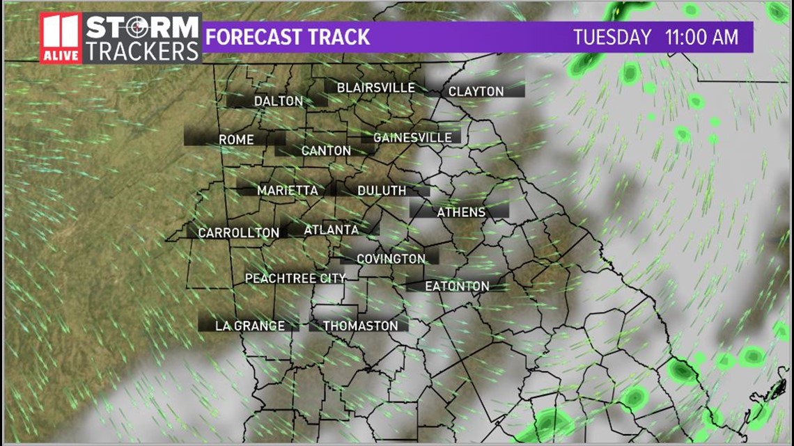
11 a.m. Tuesday
By lunchtime, all of the rain will be well to the east of the metro area. We will begin to see sunshine returning with breezy conditions and cooler air for the rest of the day.
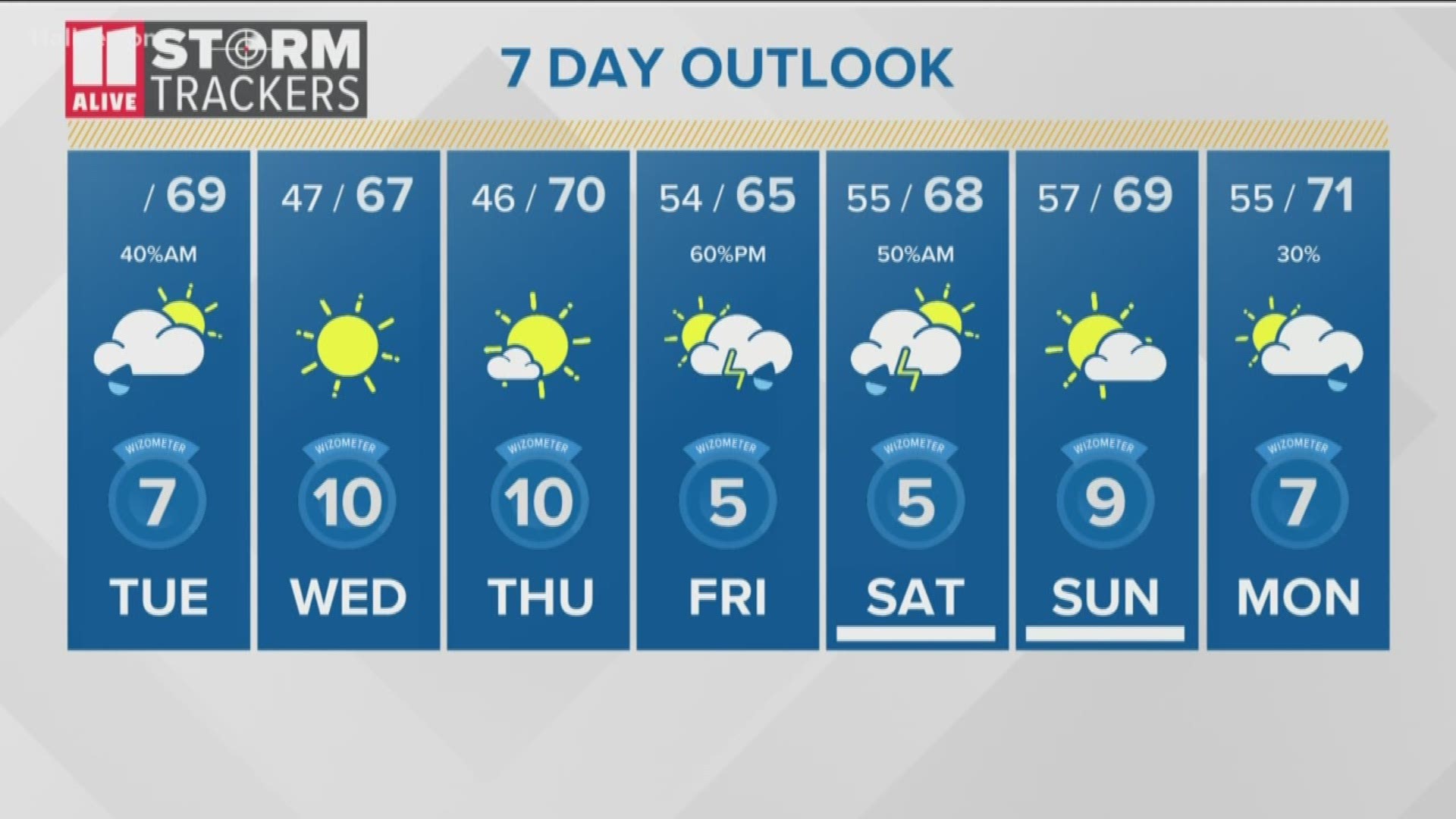
We will have mostly sunny skies this afternoon. Wind will pick up as the front moves through the area. Look for Northwest winds up to 15mph. Gusts will be in the 20 mph range. Highs will be in the upper 60s.


The sun will hang around Wednesday and Thursday. Highs will be in the upper 60s to low 70s.
Clouds will increase late Thursday and rain will follow on Friday.
STAY UPDATED: Download the FREE 11Alive News app now in the iTunes store or on Google Play.
► POWER OUTAGES CHECK | Georgia Power customers, check here. Georgia EMC customers check here.
► Have a news tip? Email news@11alive.com, visit our Facebook page or Twitter feed.

