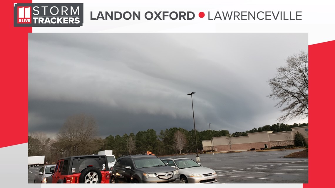
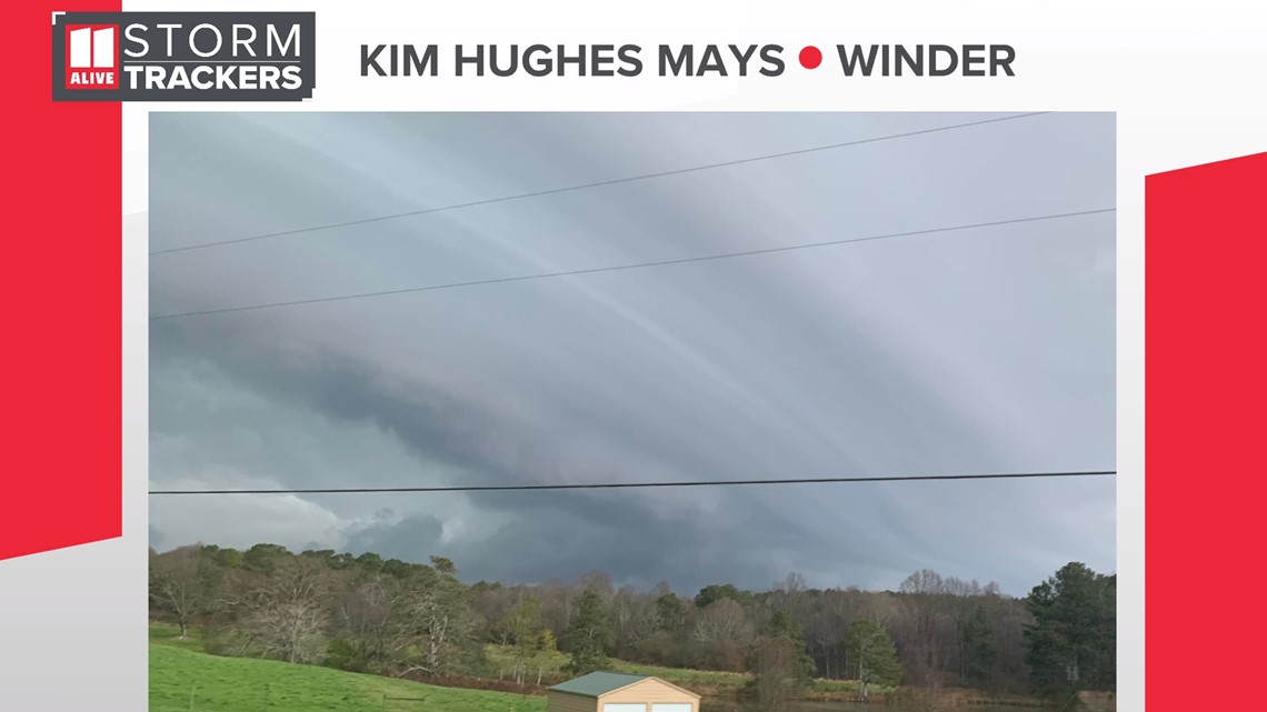
ATLANTA — An ominous looking cloud in the sky was spotted in parts of North Georgia just ahead of Sunday's thunderstorms.
Known as shelf clouds or arcus clouds, these clouds are distinctively characterized by their long, horizontal structure and wedge-shaped appearance.
Our 11Alive StormTrackers captured some impressive photos of the shelf cloud. This photo from Landon Oxford is from Lawrenceville shows the very well pronounced shelf cloud moving through Gwinnett county.


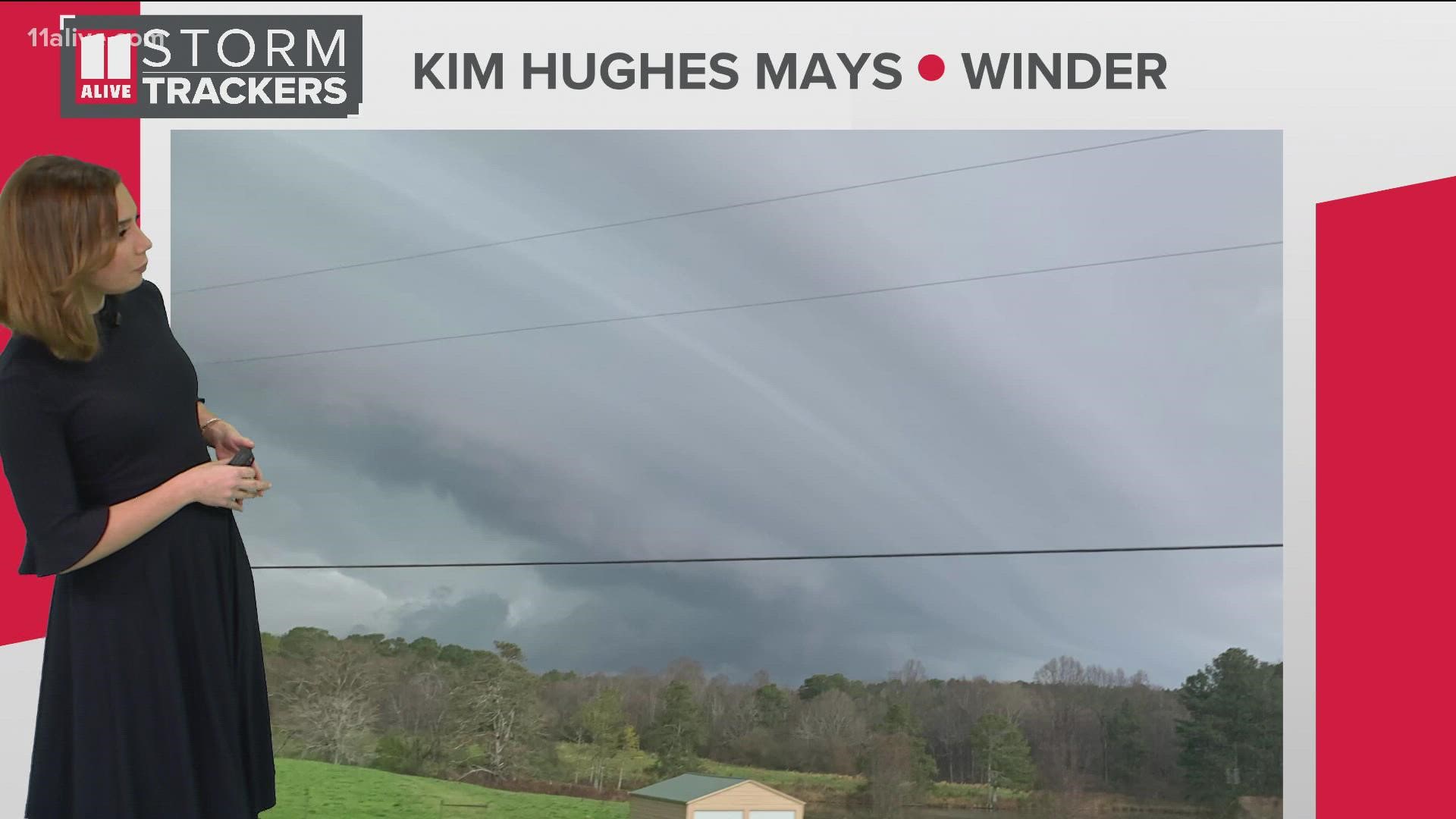
And east of there, 11Alive community StormTracker Kim Hughes Mays captured photos of the shelf cloud in the community of Winder in Barrow County, just before the heavy rain and lightning arrived.


11Alive also caught the shelf cloud on our weather camera in Duluth, followed by the heavy rain. Check out the timelapse!
Shelf clouds often appear along the leading edge of a line of storms, but do not necessarily mean severe weather is incoming. So, how do they form? Rain-cooled air from a thunderstorm rushes out and meets warm, humid air ahead of the storm.
That warm, humid air is less dense than the cooler air. Thanks to thermodynamics, the warm air then lifts and condenses, forming the shelf cloud.
After a shelf cloud passes, gusty winds and heavy rain often follows.
Did you capture photos of Sunday's storms? Share them with us by joining the 11Alive StormTrackers Facebook group!
Download the FREE app now in the iTunes store or on Google Play.

