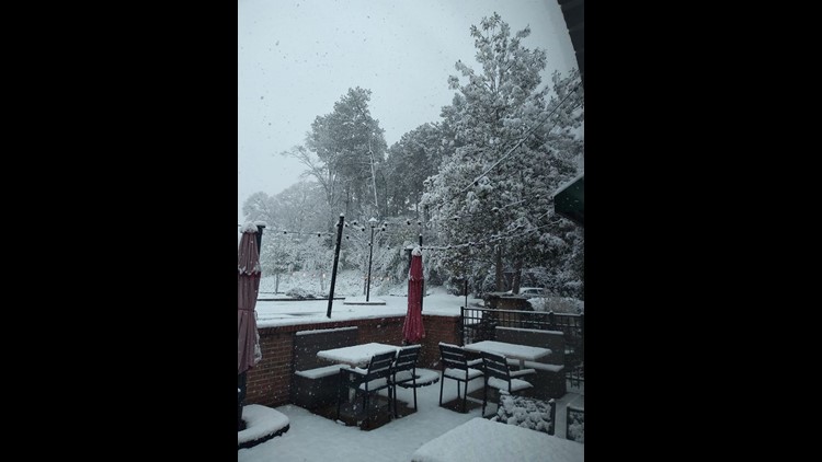
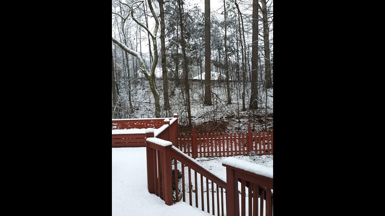
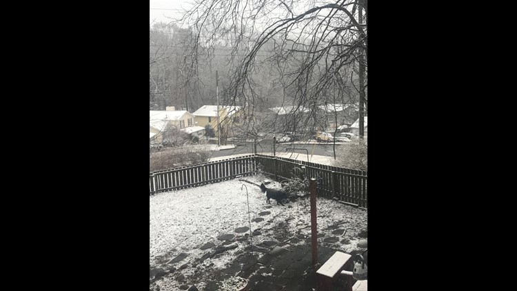
ATLANTA — There's been a lot of speculation as to whether we could see some flakes fly in the coming week as we head through the middle of February.
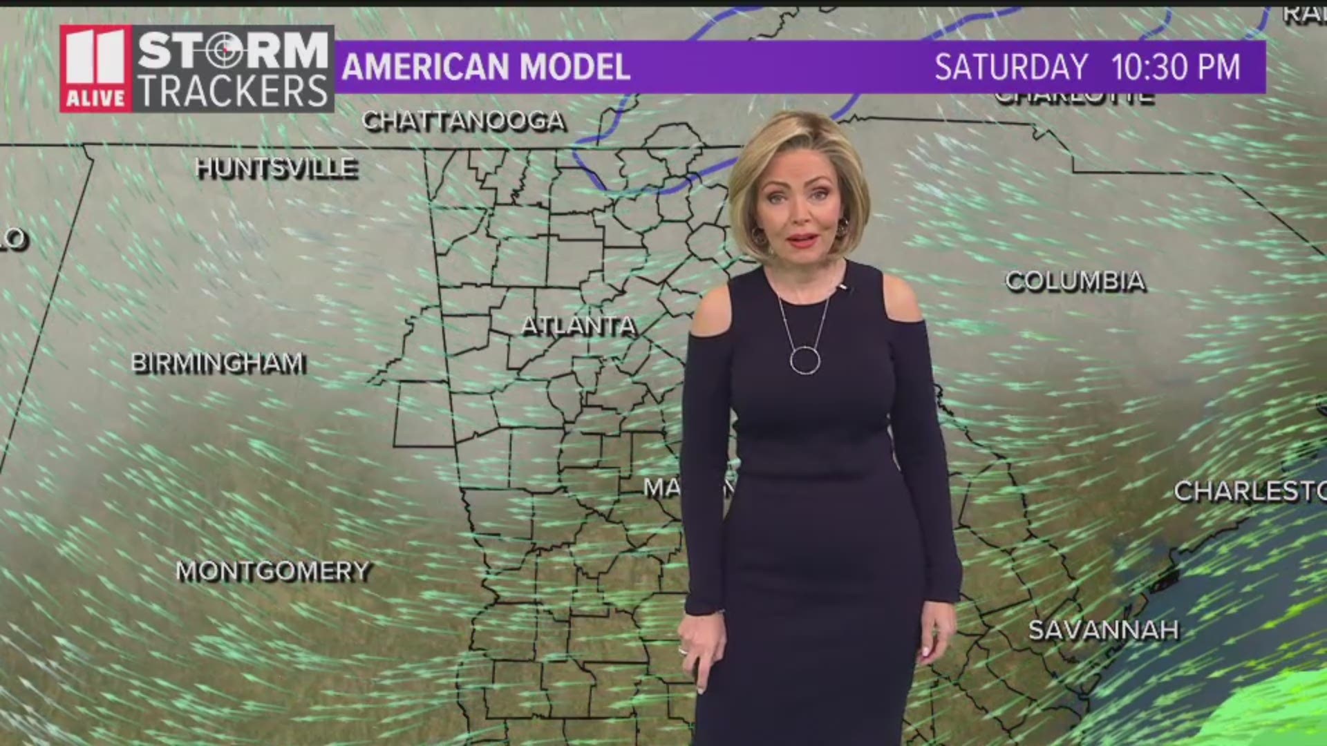
Some of the models, including the American model, showed widespread snow across most of north Georgia and the metro Atlanta area. However, that was during the model's last few runs on Friday.
The latest runs on Saturday suggest rain for the next few days heading into the week. The main time frame that caused concern was Thursday when cold air moved in to create conditions that could lead to snow.
RELATED: Some brief showers Sunday
The American model shows rain beginning to taper off on Thursday and then some snow and wintry mix conditions move toward northern Georgia from Alabama on Thursday morning.
The latest runs from the Global Forecast System, however, show strong signs that flakes won't be hitting anywhere near the Atlanta metro area.
"It shows that snowfall staying pretty far to our north and most of it being a wintry mix with no significant accumulation," 11Alive meteorologist Samantha Mohr said.
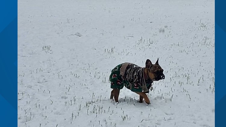
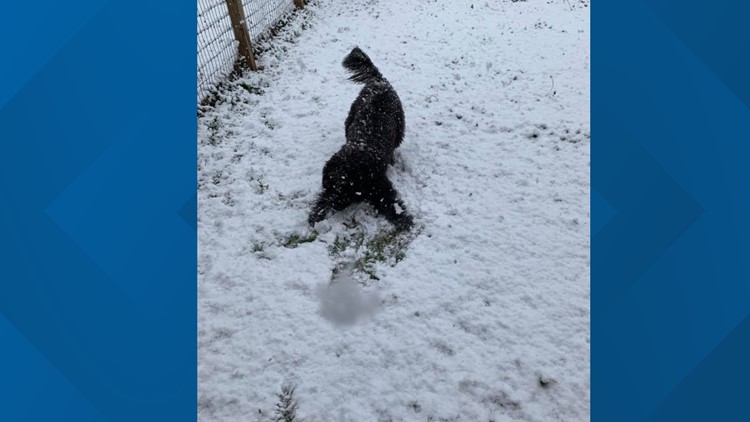
Photos: How your pets responded to the snow
The line of thought so far is that the moisture will be moving out before the cold front moves in on Thursday night and Friday morning.
Meanwhile, the European model shows nothing in terms of snow during this time.
Even in the cases where parts of north Georgia do see some snow, Mohr said it will be on the very northern edges with counties in the far northwest seeing less than an inch of accumulation.
Mohr said this is the findings of the very same model that initially suggested widespread snow just days earlier.
"We're still five days out, so a lot can change between now and then," Mohr said. "But the fact that the last few runs showed very little snow in north Georgia and yesterday was showing a lot of snow, that tells us its inconsistent and we can't really rely on it right now."
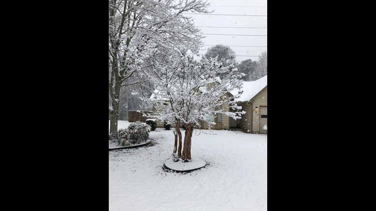
PHOTOS: Snow in the ATL
RELATED HEADLINES

