ATLANTA — The 11Alive StormTrackers are closely watching two areas of low pressure that have potential for tropical development over the next 7 days.
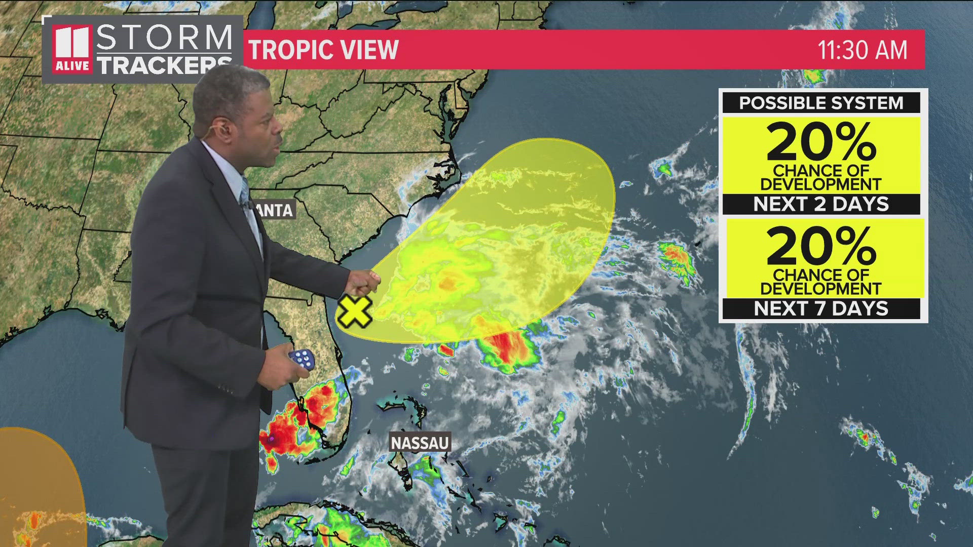
First, an area of low pressure crossing over the Florida peninsula. As it moves out over open water in the Atlantic, it has a low risk of developing into a tropical system.
As of Thursday morning, it has produced immense amounts of rain over the Florida peninsula. That heaviest axis of rain continues across south Florida today. Gradual development is possible as it moves northeastward off the southeastern U.S. coast. It will move offshore near the Georgia and South Carolina coast Thursday. Slow development is possible with this system once it moves over into the Atlantic.
The National Hurricane Center is giving it a 20% chance of developing into a tropical depression or tropical storm in the next 2 to 7 days.
The models keep the center of the low off the coast. We don't expect any type of landfall with this system. However, it could spread rain and some rough surf along the Atlantic coastline.

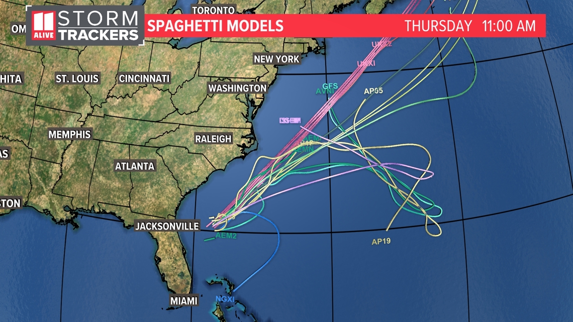
Since this system stays well to the east of the metro area, we won't get any rain or wind from it. The Georgia coast could see a few showers from it and maybe some rough surf.
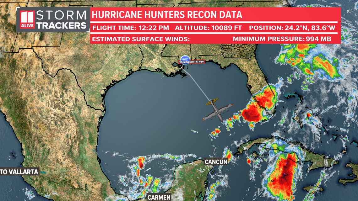
There is another system to watch in the far southern Gulf of Mexico. The National Hurricane Center is giving this system a 40% chance of development over the next 7 days. The models indicate that it would move in over Mexico. We will keep watching it to see if anything changes.

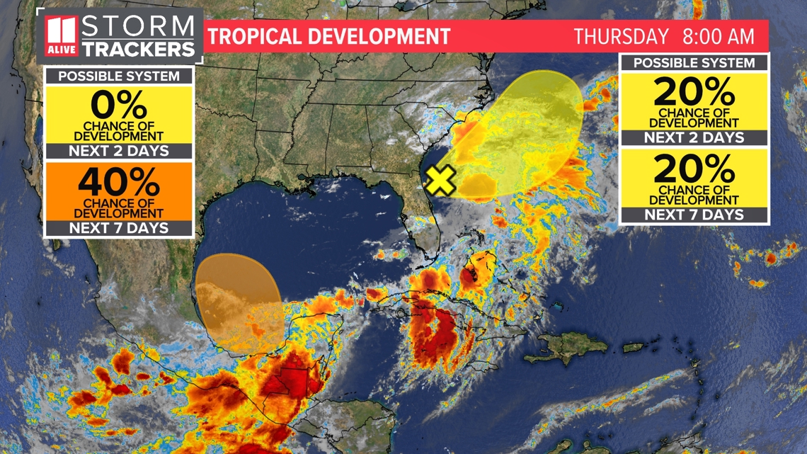
The Air Force Reserves Hurricane Hunters took off from Keesler Air Force Base in Biloxi, MS Thursday and are investigating this area Thursday afternoon to get more data and information on what is happening in this region.

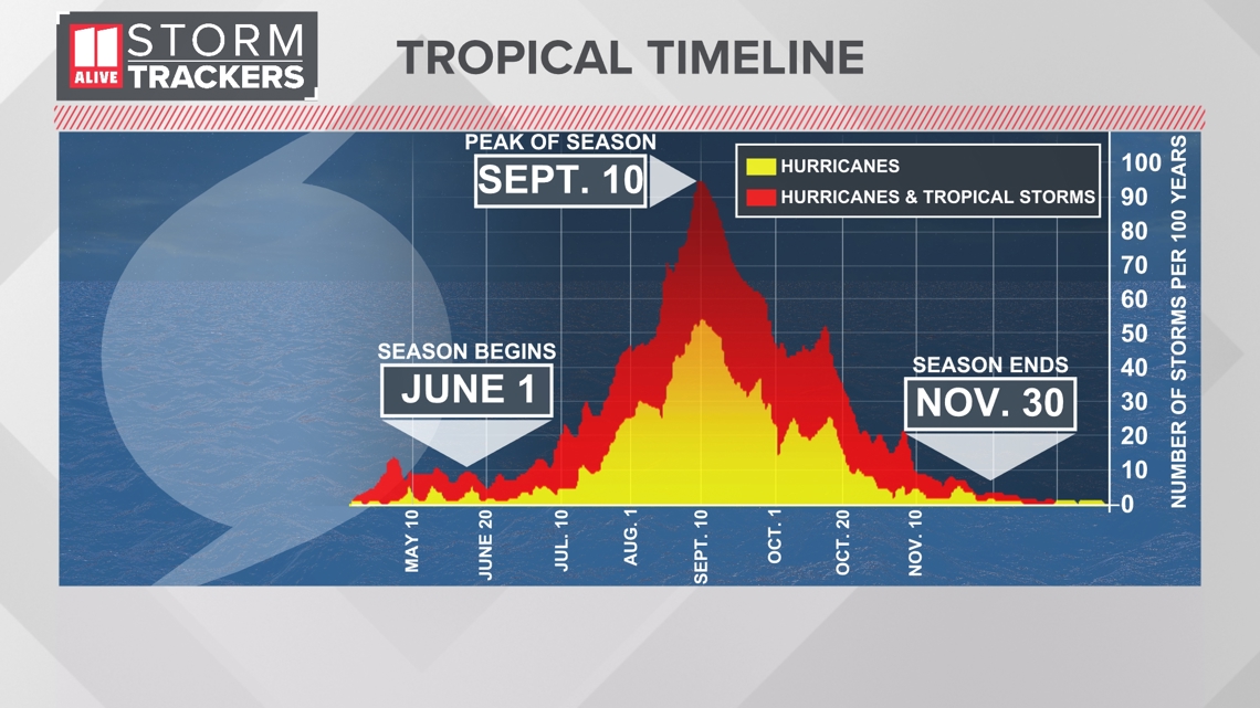
Hurricane season started on June 1. Activity usually starts ramping up during the summer, with a peak in the season on September 10. The season ends November 30.

