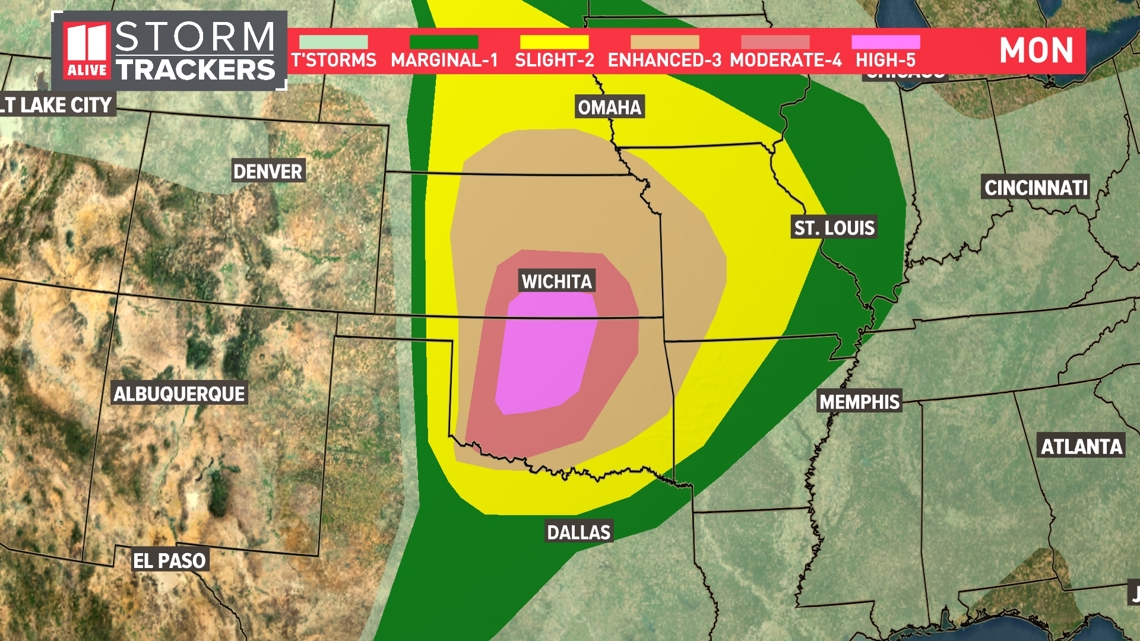
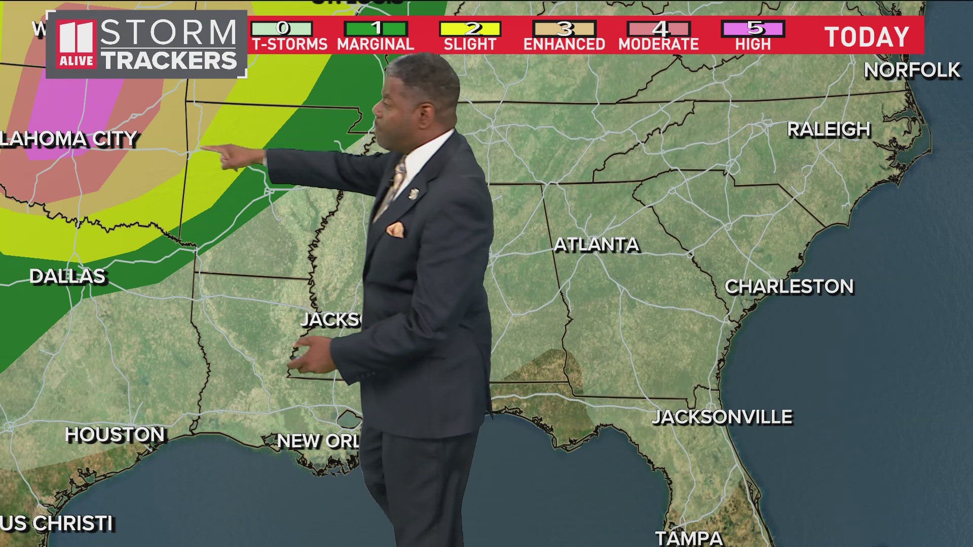
OKLAHOMA CITY — A particularly volatile day may erupt in parts of the Plains region Monday. The Storm Prediction Center issued a rare Level 5 "High" risk area for parts of Kansas and Oklahoma.
Within that area, the Storm Prediction Center is forecasting an outbreak of severe weather, including "multiple strong, long-tracked tornadoes," very large hail and damaging winds up to 80 miles per hour. The last Level 5 risk area was issued by the Storm Prediction Center on March 31, 2023.


You can see the "tornado environment" forecast map below. This is an indicator that is known by "Significant Tornado Parameter." When this number reaches 1, the environment can support a tornado. When the number gets much higher, it increases the favorability for stronger tornadoes. Today, readings are well over 10 on the scale -- some are almost off the charts. The environment is capable of supporting EF2+ tornadoes.


Some of the hail that develops later could also be very severe. Hail over 2" in diameter will be possible. This can shatter windshields and bring significant roof damage.
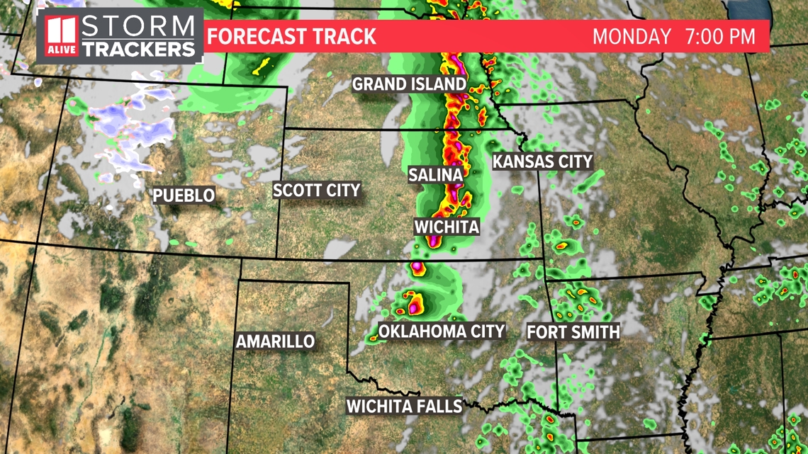
This afternoon showers and storms start to erupt. Some of the storms may be discrete in Oklahoma. This is where long-track, strong tornadoes will be possible. Meanwhile further north into the southern Plains, the storms will congeal into a line through Kansas and Nebraska the later into the evening that we go.


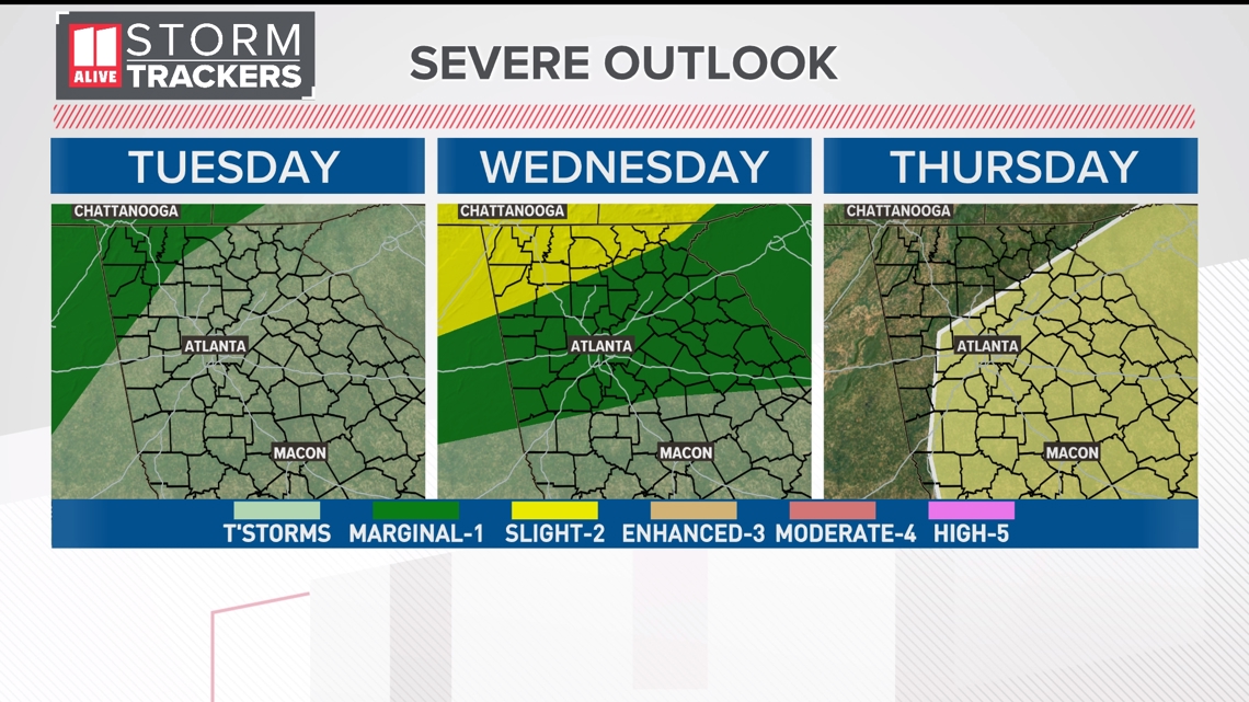
Eventually, we will see a front sliding closer to north Georgia, bringing a better coverage of showers and storms midweek and the chance of an isolated stronger storm. While we do not expect a high-end severe threat, the Storm Prediction Center is already highlighting lower-end chances of severe weather in the outlooks for Tuesday through Thursday.


