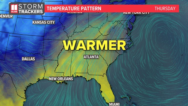
ATLANTA — After a brutally cold weekend with sub-zero wind chills, get ready for a huge warm-up across the north Georgia area and metro Atlanta.
Later in the week, highs will flirt with 70° and lows will push near 60°. We will be close to tying or breaking daily record warm minimums.
But the near-record warmth will come at a price: rain and storms will make for a wet finish to the week.
Let's first talk about this warming trend
After a weekend with nearly 40 hours straight of sub-freezing temps in Atlanta, we will potentially have 5 days straight with highs at-or-above 60 degrees starting Wednesday. Although some spots could hit 70 Thursday and Friday, we do not expect Atlanta's daily record highs to fall. Our daily records are in the mid 70s.

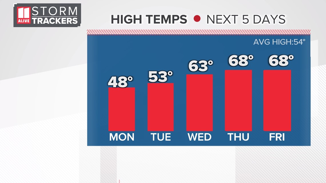
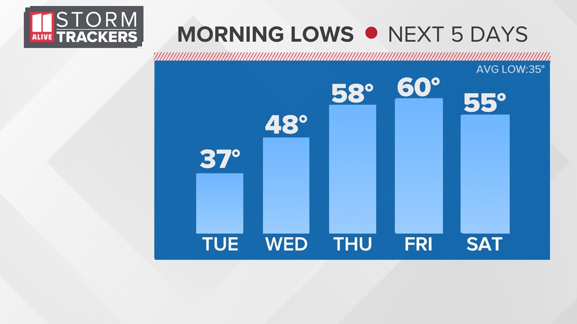
But in the mornings, records will be in jeopardy. Forecast lows are in the upper 50s to around 60 Thursday and Friday mornings. The record warm minimum for Thursday, January 25th is 58°, set in 1962. The record for Friday morning is 60° from 1974. Those are both low-hanging fruit. We'll be close to tying or breaking those.

Now to the downside of the warmer weather: rain.
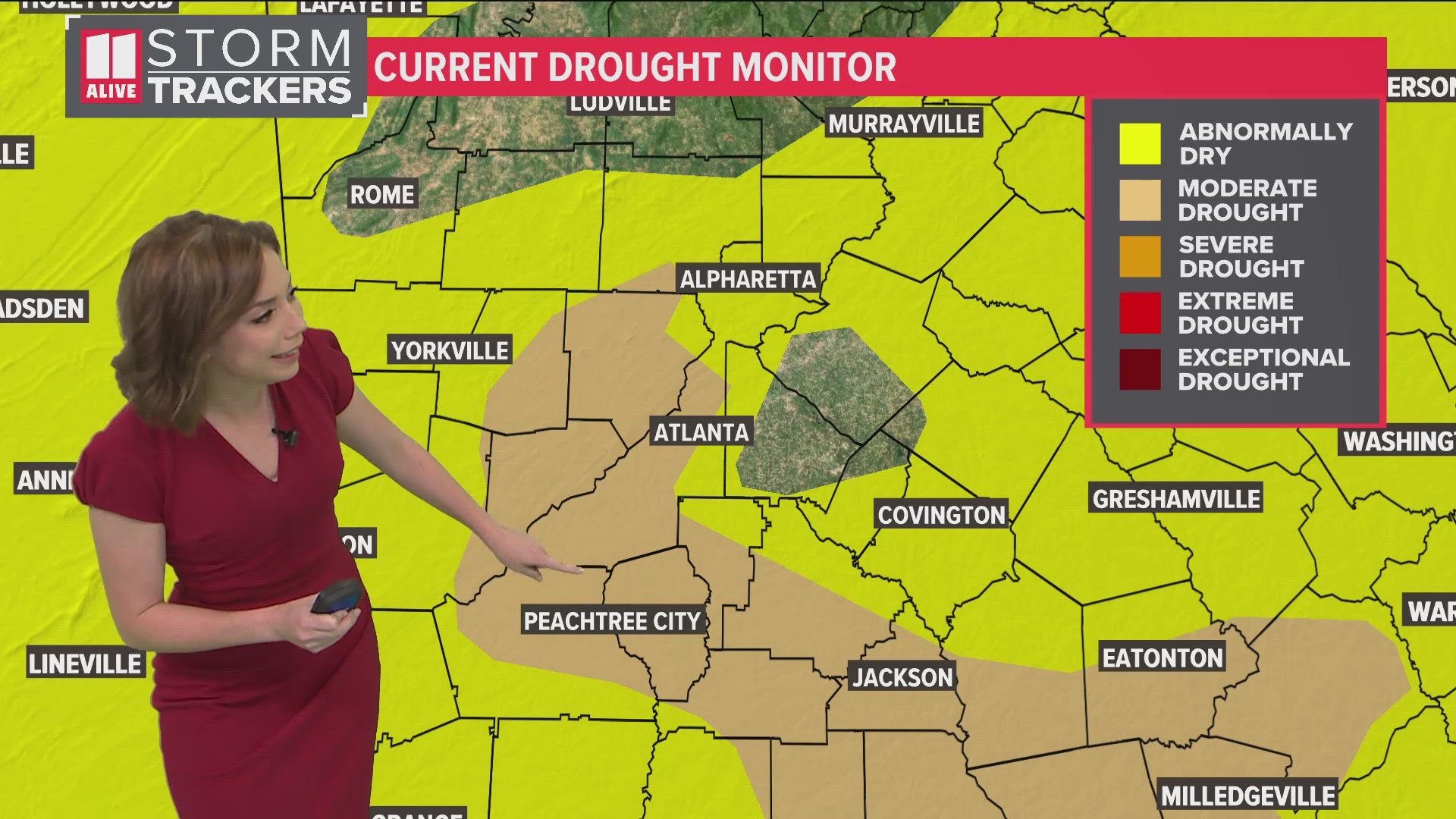
Through Sunday, an additional 1 to 3 inches of rain is likely across north Georgia. Isolated spots could see in excess of 5 inches. We will have to monitor flooding potential later this week.

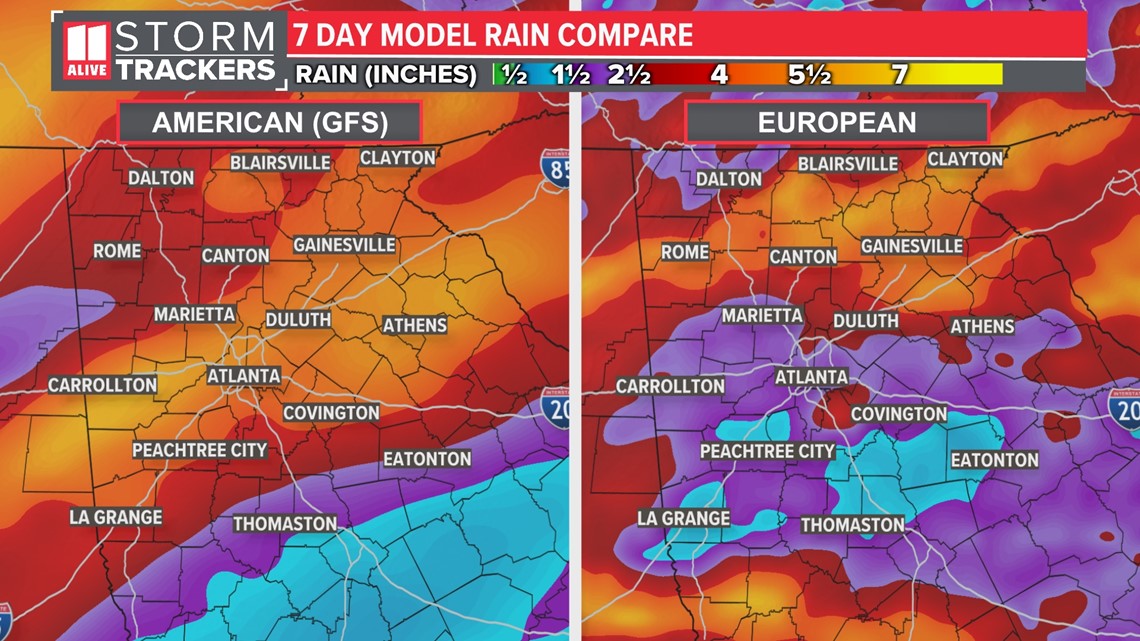
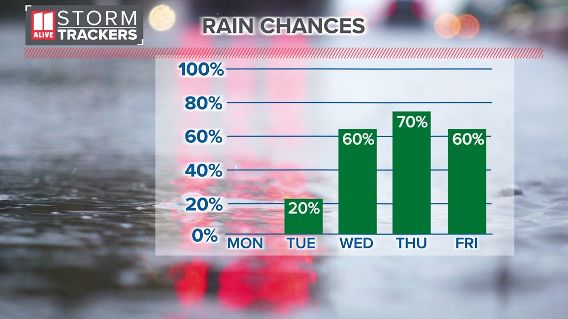
When does the rain arrive? Although an isolated shower is possible Tuesday, rain chances become much more pronounced starting Wednesday. The Lions Share of the rain arrives Thursday into Friday. Although we may catch a break late Friday through early Saturday, another weather-maker brings more rain back for later Saturday into Sunday.

We will have to monitor potential flooding issues with the rain coming this week, especially considering the previous week's rainfall and soil temperatures.


