ATLANTA — We are tracking some storms moving in from Alabama and Tennessee. The line of storms has been weakening as it moves through NW Georgia. We have seen some storms with up to 40mph winds and heavy rain. So far they are staying below severe criteria.
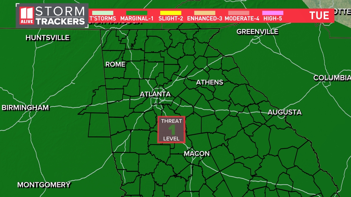
The Storm Prediction Center has dropped the level 2 risk for NW GA. We are in a level 1 of 5 risk for an isolated severe storm to develop.
Damaging winds up to 60 mph will be the primary severe weather threat. The strongest storms could have quarter-sized hail. The tornado threat is overall very, very low. Storms could also bring locally heavy rain and cloud-to-ground lightning.

Timeline
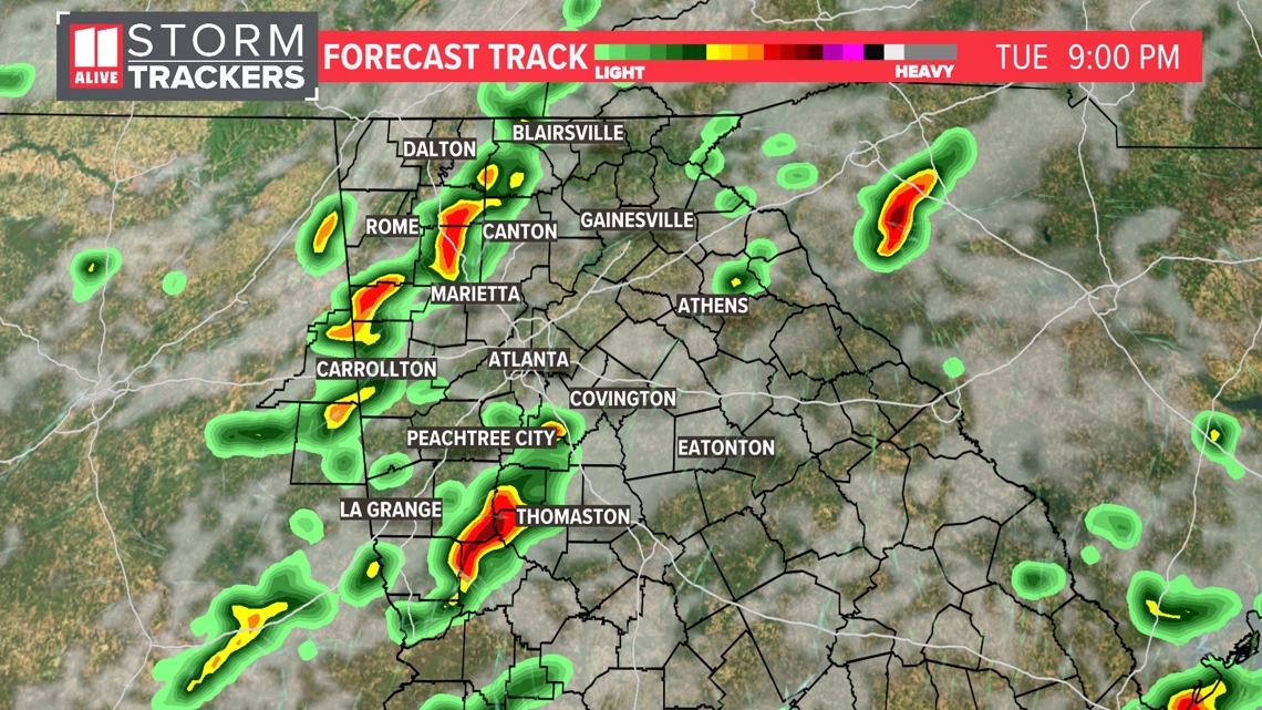
Tuesday 9 p.m.
Scattered storms will be ongoing across the area. Some of them could be strong to severe. The line of storms coming in from Alabama is showing signs of weakening. We can still expect some rain and wind in NW GA, but the severe threat is lower.

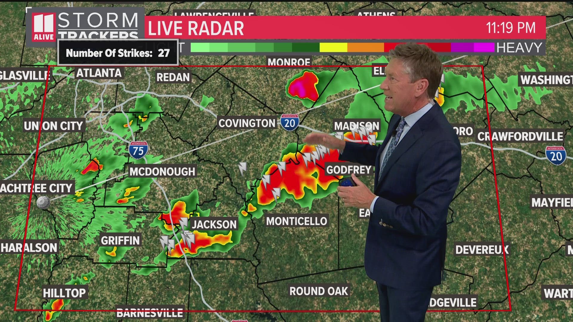
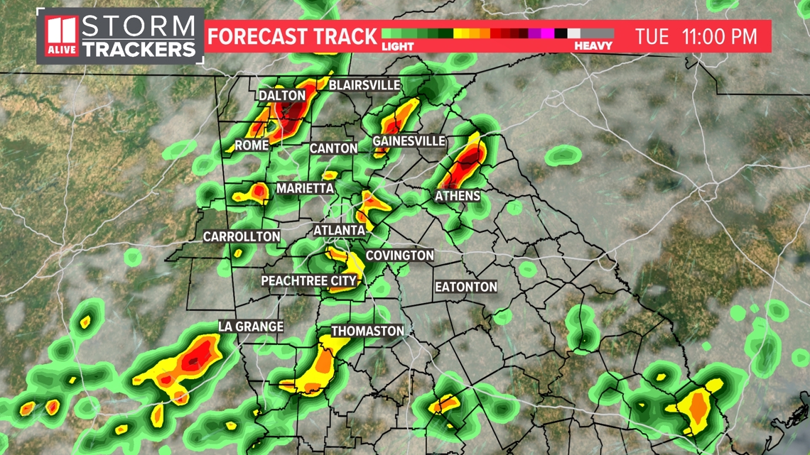
Tuesday 11 p.m.
Storms will be ongoing across the region approaching midnight. There is a low risk that any will be severe. By midnight, the last of the storms will start to exit northwest Georgia. Then, for the metro, storms should end between 12 a.m. and 3 a.m.

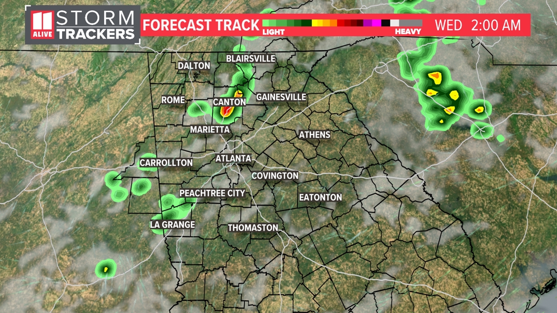
Wednesday 2 a.m.
The last of the storms are winding down after midnight. The severe threat is over.

