Most of the state of Georgia is under the threat of severe weather Sunday. Tornadoes, damaging wind gusts, lightning, and flash flooding are all possible as showers and storms move through.
(App users click here to see maps)

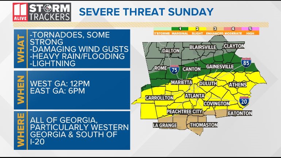

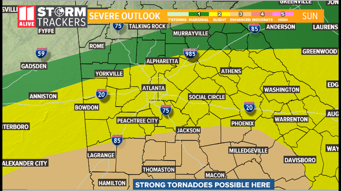
Showers and storms will already be ongoing in the morning but the threat for strong to severe storms arrive in the afternoon and evening.

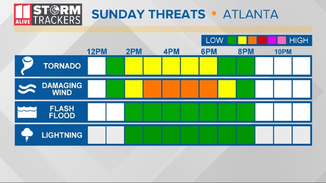
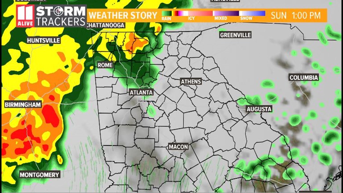
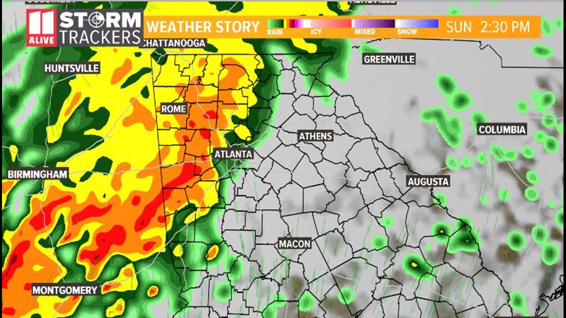
Here's what the Atlanta metro can expect for storm timing, keep in mind the timing of the future radar may be off 1-2 hours compared to what may actually happen:
11 AM - 3 PM
Mainly just showers and storms. Some of these storms may become strong to severe, especially in the southern metro.

2 PM - 6 PM
A large line of storms approaches and moves through. Damaging wind gusts, isolated tornadoes, and lightning possible within the line. This is the time period to be weather aware and ready to act on warnings.


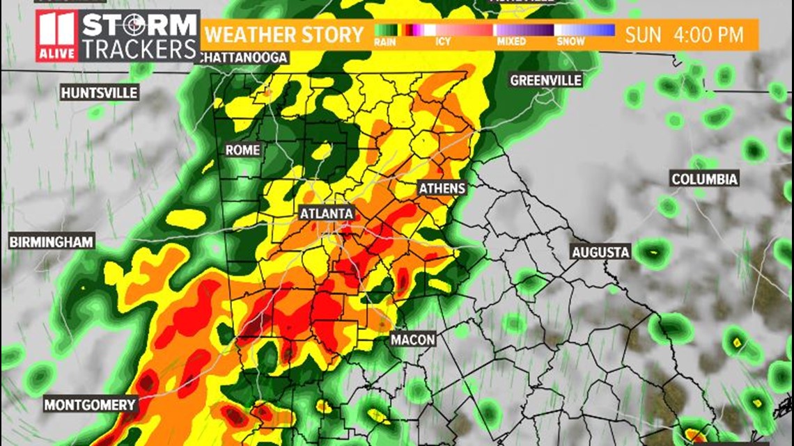
5 PM - 11 PM
As we get later into the evening and the line progresses further east, the threat for severe weather will diminish but leftover flash flooding is still possible.
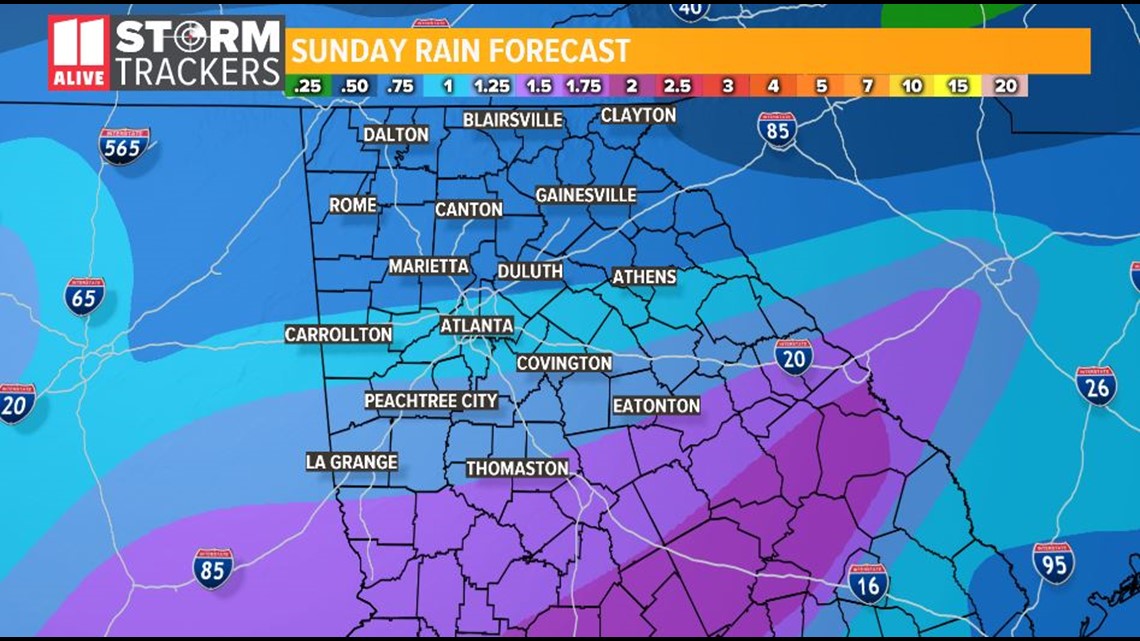
A generally 1-2" of rainfall possible with higher amounts across central Georgia.

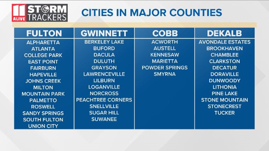
It is very important you know what county you live in so you can act when warnings are issued. Check out the images below to help

UPLOAD | Send us your weather pictures here
Download the FREE app now to receive weather alerts. Find the app in the iTunes store or on Google Play.
POWER OUTAGES CHECK | Georgia Power customers, check here. Georgia EMC customers check here.


