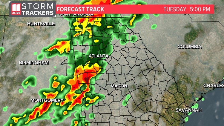
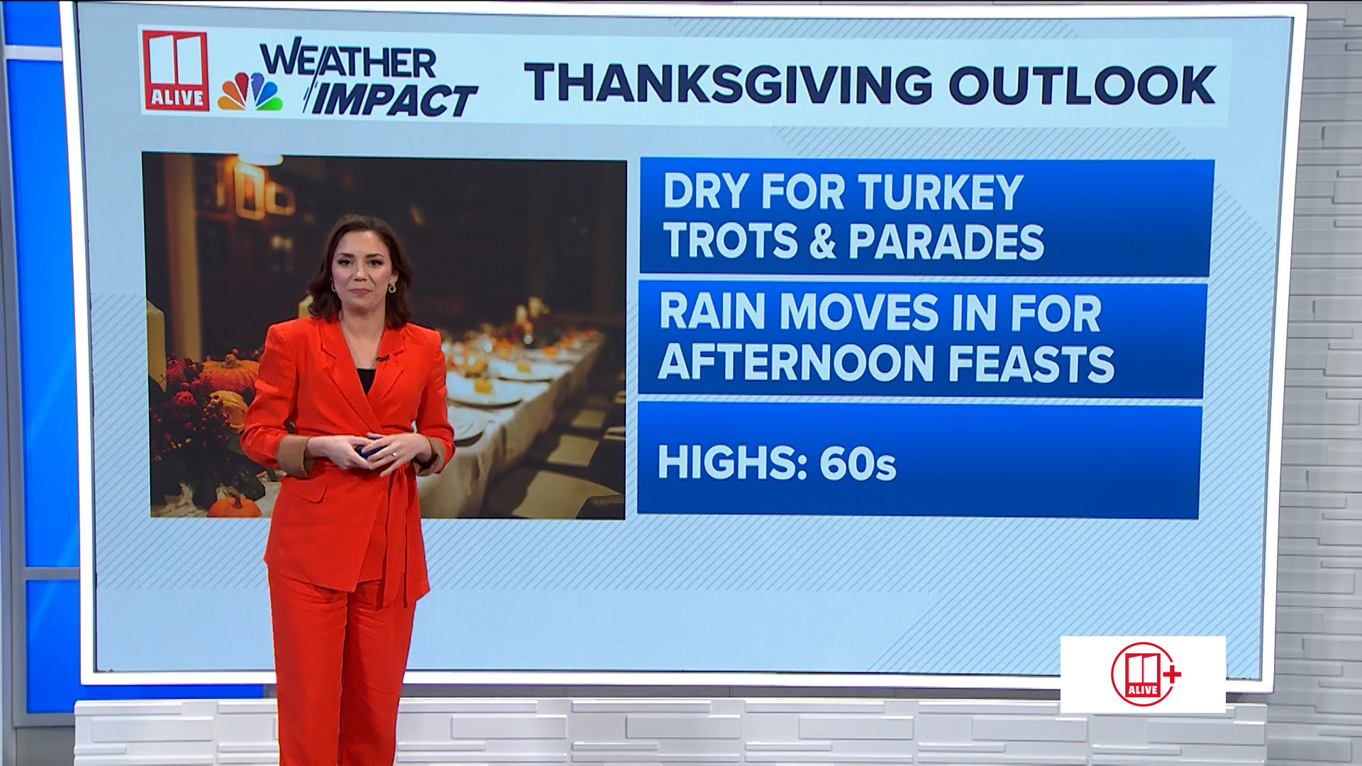
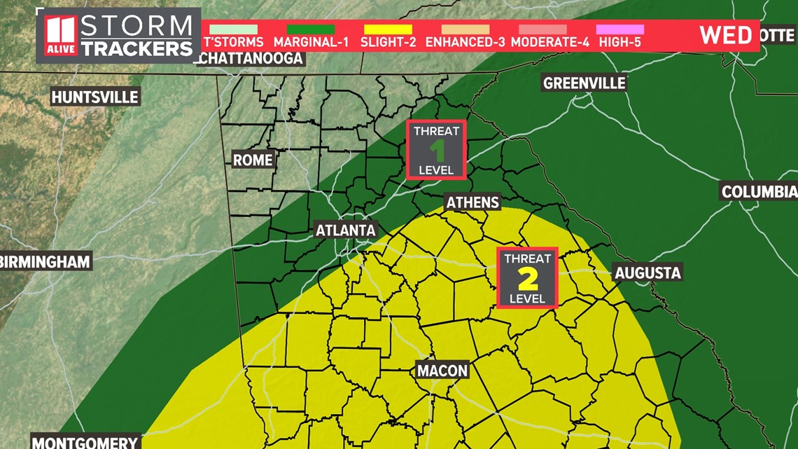
ATLANTA — The Storm Prediction Center maintains the level 2 or 5 risk for strong storms through the overnight hours into Wednesday morning.

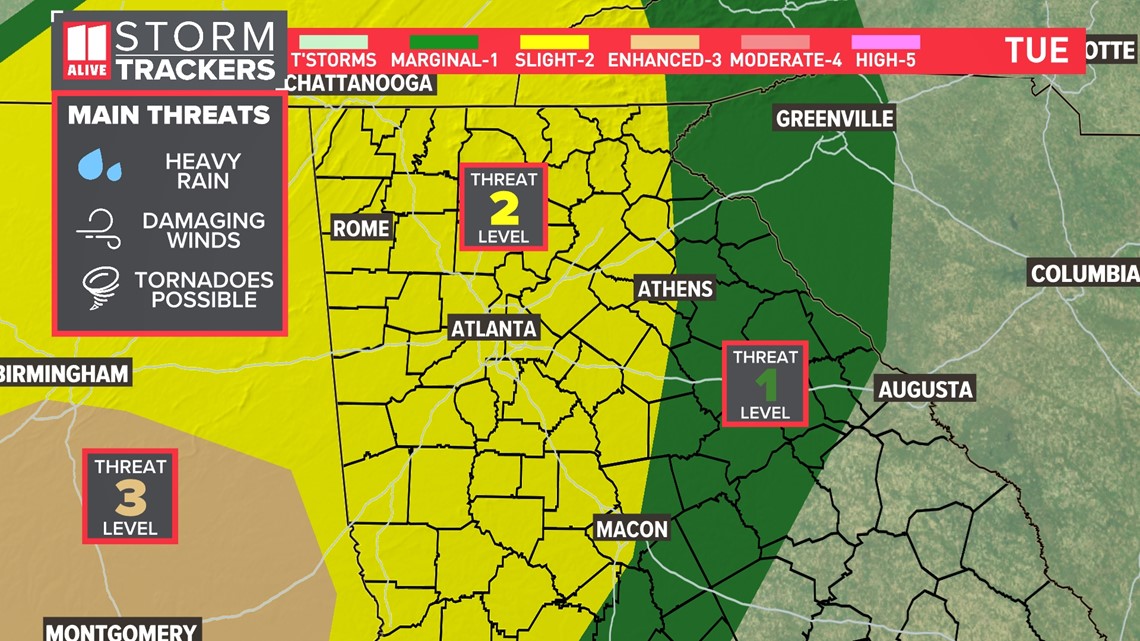
The main threats we are watching is a moderate to high risk for heavy rain. The risk for damaging wind is medium. We also have a low risk for an isolated tornado. We don't think any tornadoes would be widespread, but there is a chance for some rotation to develop in some of these storms.
Hail risk is very low.
TIMELINE
Overnight Tuesday into Wednesday
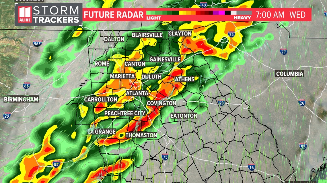
A second wave will move through during the overnight and Wednesday morning. Some of these storms have the potential for heavy rain, damaging wind and an isolated tornado. We will be monitoring this line closely.

Wednesday morning:
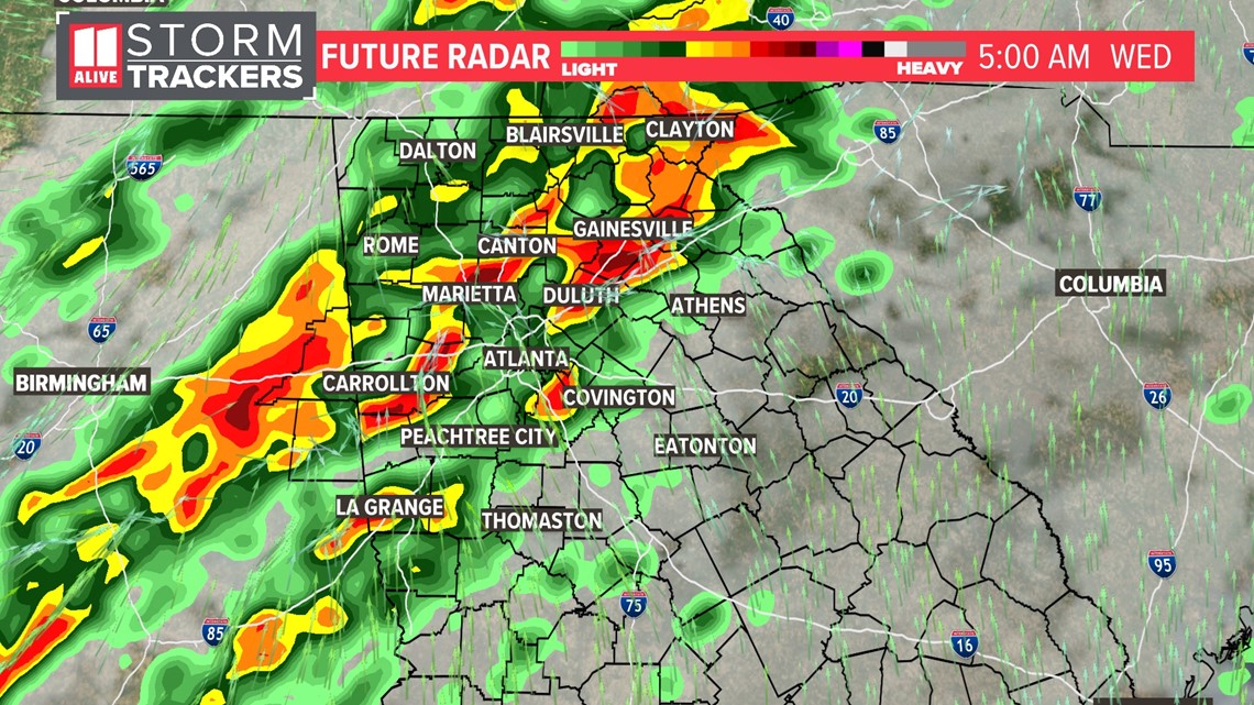
Another line of heavy rain and thunderstorms will push through during the Wednesday morning commute.

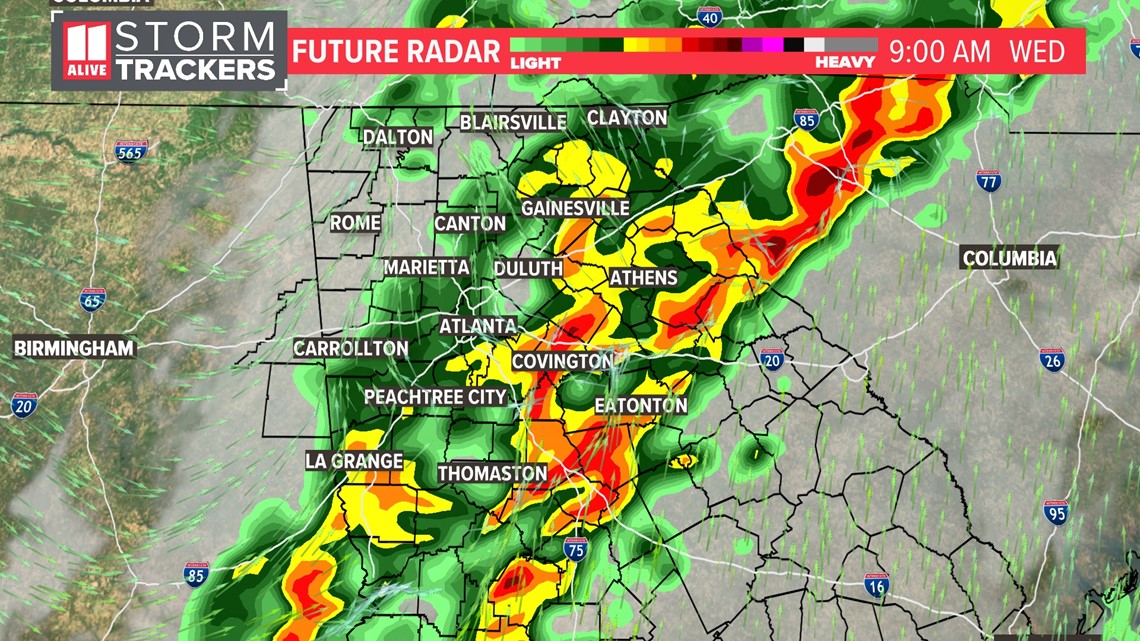
By 9 a.m. Wednesday, the heaviest of the rain will be pushing east of the metro area.

Wednesday afternoon
The rain threat should end by mid-morning Wednesday. The level 2 risk will be over the central and southern parts of the state.

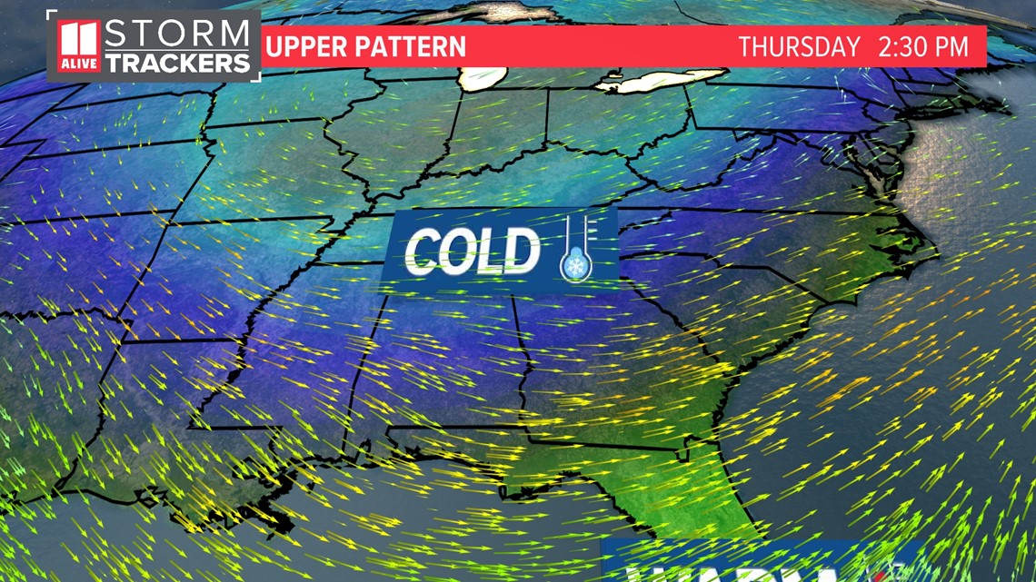
Then, colder air returns Thursday into Friday.

MORE FROM THE 11ALIVE STORMTRACKERS
DOWNLOAD THE 11ALIVE APP:
- Download the app on your Apple or Android device.
- Set up weather notifications by clicking the Gear icon in the upper right corner of the app. Select Notification -> Notification Settings -> Severe Weather Alerts -> Toggle the Severe Weather Alerts button to the right to turn alerts on.
- Send photos and videos through the app by selecting the Near Me feature on the bottom right taskbar of the app and entering your information.
TEXT YOUR WEATHER PHOTOS TO US: 404-885-7600
JOIN THE 11ALIVE STORMTRACKERS FACEBOOK GROUP: Nearly 10,000 metro Atlanta and north Georgia weather enthusiasts share their weather photos every day. Click here to join the group!


