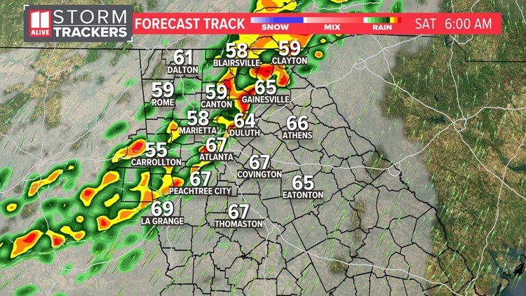
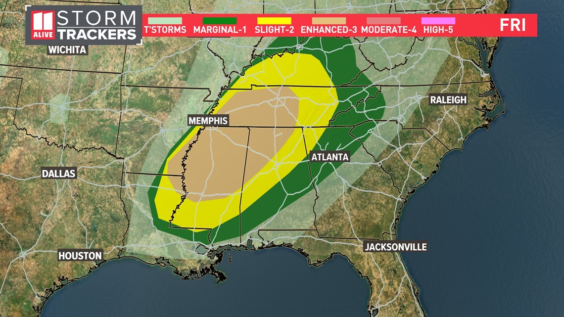
ATLANTA — We are monitoring the potential for strong storms early Saturday. This will be from a storm system that brings a severe weather outbreak in the mid-south, where there is a Level 3 out of 5 risks of severe weather.

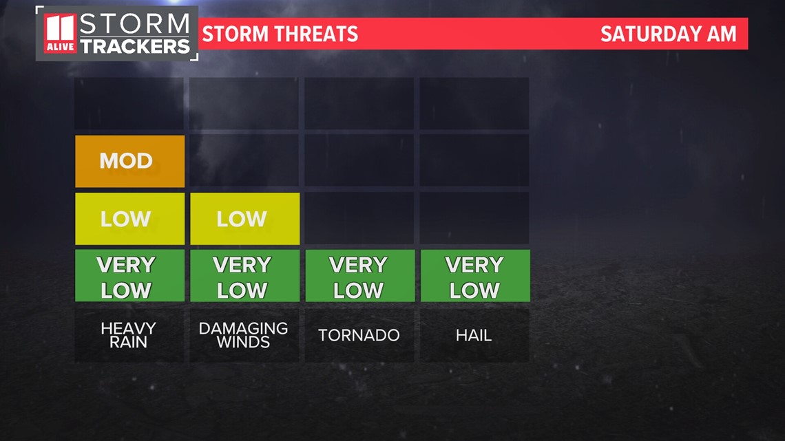
Storms will be weakening as they track into our area from Alabama. Nonetheless, an isolated stronger storm is possible. The main threat is damaging winds. The tornado threat looks very low overall but not zero. Storms will bring heavy rain as well.

Timeline
Saturday
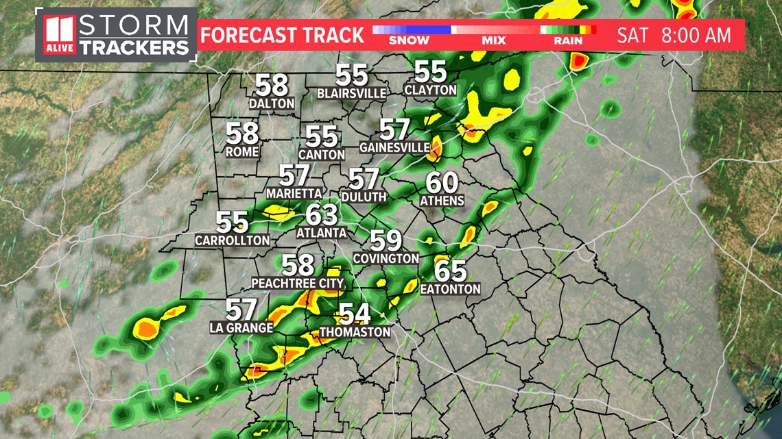
Storms are moving across northwest Georgia early this morning. They'll move across the metro area between 5 a.m. and 9 a.m.


By late morning, the storms are racing east of our area and continue to weaken as they do so.

We'll have a break in storm action around midday Saturday. Then, isolated showers and storms could redevelop in the afternoon. Any late day storm could also become strong to severe with heavy rain, gusty winds and lightning.

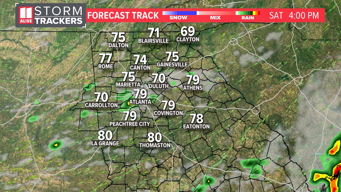
We stay dry throughout Saturday night.
Sunday
Sunday looks to start dry and mild. Temps in the morning will be around 60 degrees.

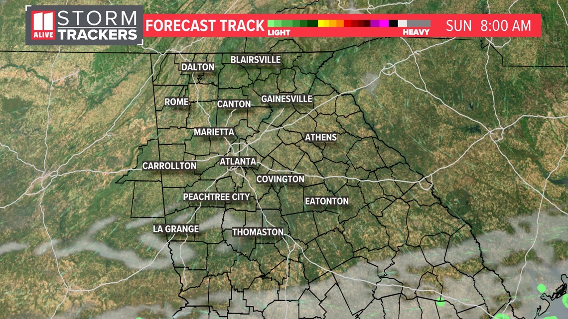
By the afternoon, some clouds start to build in from the south. Temps still make it into the mid to upper 70s.

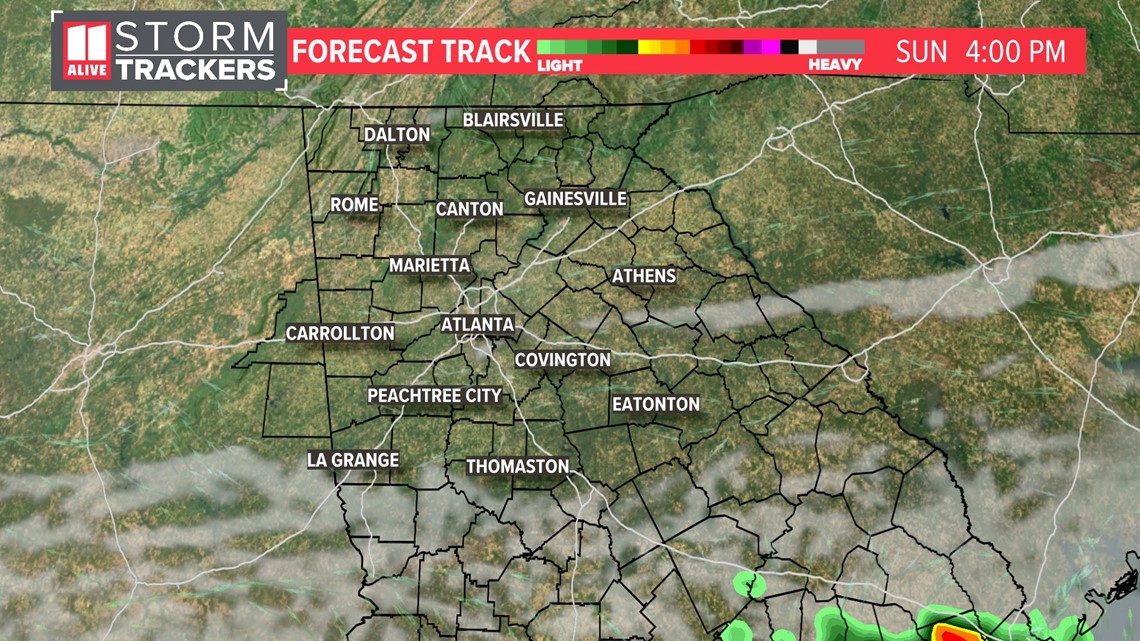
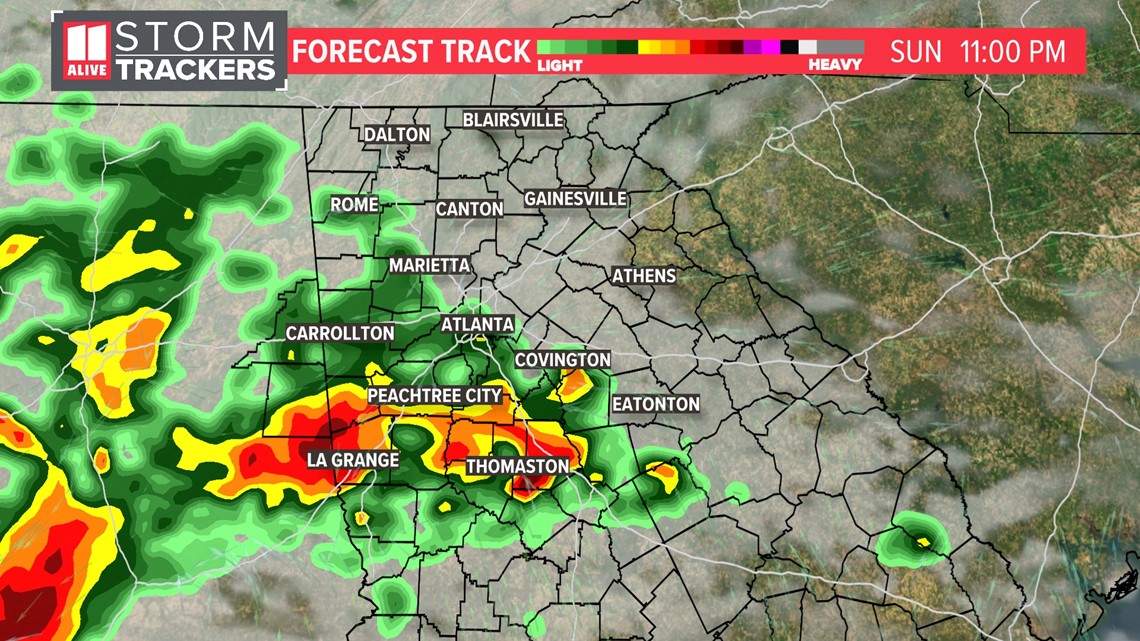
Later Sunday evening, our next wave of moisture moves in from the south. Showers and storms become likely after sunset.

TEXT YOUR WEATHER PHOTOS TO US: 404-885-7600
JOIN THE 11ALIVE STORMTRACKERS FACEBOOK GROUP: Nearly 10,000 metro Atlanta and north Georgia weather enthusiasts share their weather photos every day. Click here to join the group!
Severe WX YouTube embed options:

