ATLANTA — We continue to track an unsettled weather pattern setting this week. We have a lot to watch, from cold air to moisture moving into even a chance that some areas could see some snow flurries. The models are finally beginning to become a little more consistent on the timing and extent of the rain and snow chances.


We are watching a Gulf low developing. The low will move through the gulf and track mainly to our south. That will still spread rain north toward our area. If that low travels more north, it will bring higher amounts of rain. Right now, it appears we will be on the northern fringes of the rain, which means lower amounts.
TIMELINE:
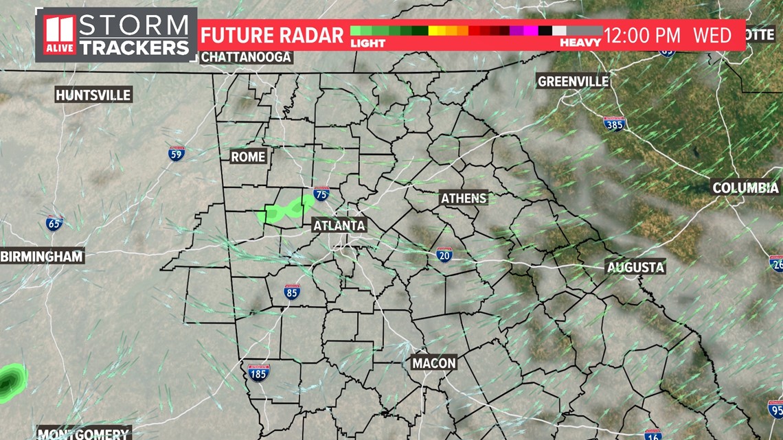
By lunchtime Wednesday, we will still have mainly clouds.


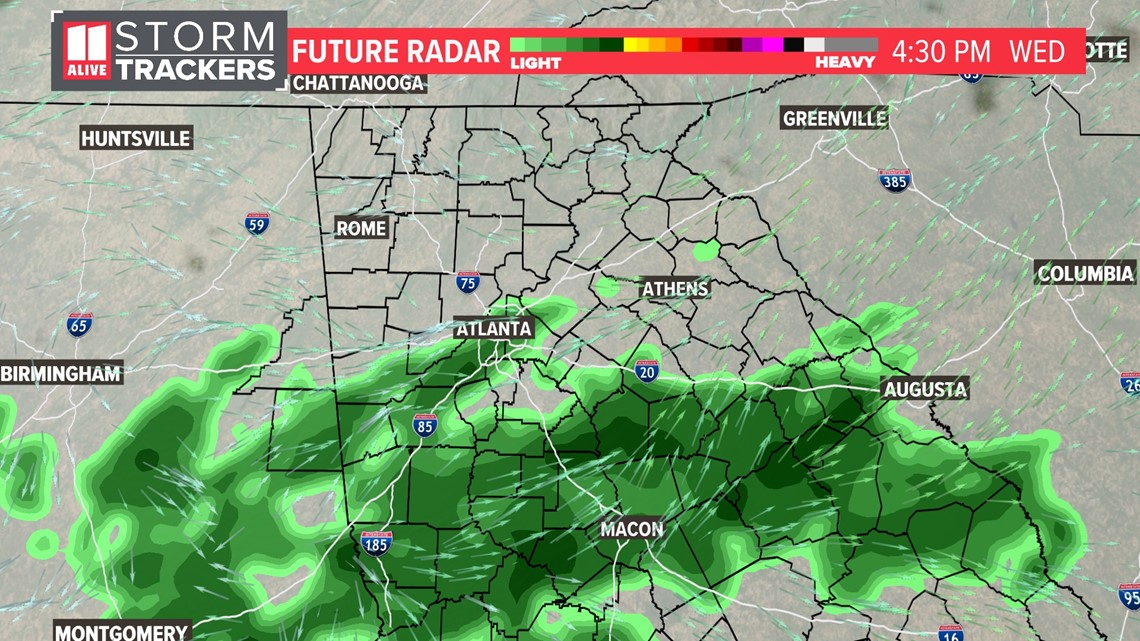
During the afternoon, that rain from the south will keep pushing northward into the metro area. The better concentration of rain will be on the south side.


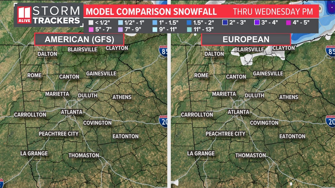
We already have some cold air in place. The moisture will be a little more limited on the north side, but late afternoon into the evening, there is a chance for some flurries, mainly in the higher elevations. The models have totally flipped from what they were showing yesterday. Now, the American model shows no snow. The European model shows only a few areas of the mountains that could see some flurries.
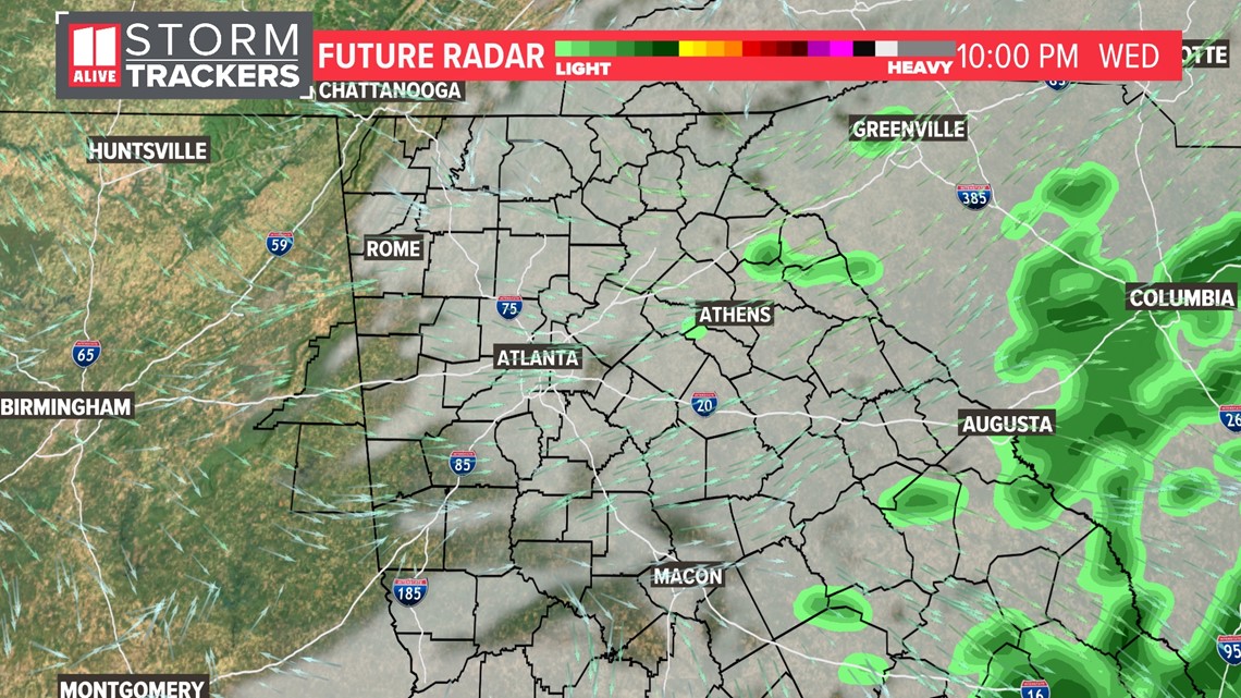
The system moves through quickly. By late Wednesday, most of the moisture will be gone and we will begin to dry out.


SUMMARY:
Based on the trend we are seeing in the models, we are planning for just some rain here in the metro area. Even that will be on the lighter side. It's not out of the question a few flakes or ice pellets could mix in when the showers begin, but we don't expect any issues with it. The mountains will have a little better chance of seeing some flurries, but with the limited moisture, we aren't concerned about any issues with travel or accumulations.
We are feeling a little more confident with these trends now. We will keep you posted if anything changes.

