THOMASTON, Ga. — The National Weather Service has surveyed Upson County after Monday morning’s storm and is beginning to release preliminary data.
Their surveyors say that the damage from the storm is consistent with an EF-3 tornado.
According to the Enhanced Fujita scale (EF-Scale), that means the tornado likely had wind speeds of 136-165 mph and caused ‘severe damage.’
They also estimate that the tornado was 1,200 yards wide and was on the ground for about 17 miles.
This is, of course, preliminary information that’s subject to change and the National Weather Service is planning to release a full and final statement at some point this week.
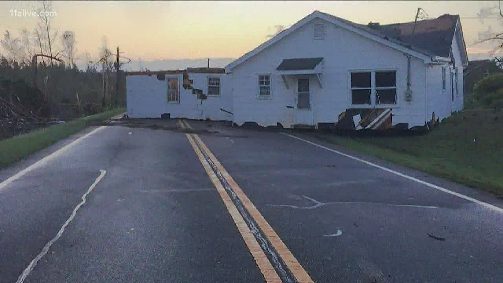
Photos from Upson County do show significant damage, with the most recognizable being a home that was lifted from its foundation and dropped onto a nearby highway.
Thousands of trees were also uprooted and more than four dozen buildings were damaged, according to Upson EMA Director Martha McCarty.
"This is a blessed community, very blessed," she said. "It's just amazing we haven't had any injuries."
More than 100 first responders and volunteers from across Central Georgia converged on the destruction and began re-opening the nearly two dozen closed roads on Monday.
RELATED HEADLINES

