ATLANTA — UPDATE: The system has now been upgraded to Tropical Storm Helene. Click here for the latest forecast track, spaghetti models and advisories.
The 11Alive Weather Impact Team has been watching this developing tropical system in the northwest Caribbean since last week.
The National Hurricane Center is now monitoring a potential tropical cyclone in the western Caribbean sea. It will strengthen to a hurricane in the Gulf of Mexico.
Download the 11Alive News mobile app and turn on alerts to get the latest updates on the storm's track from our team. Stream extended forecasts and live radar on the 11Alive+ streaming app, available on Roku, Amazon Fire and Apple TV.
Latest track

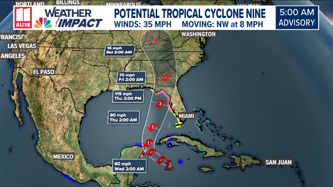
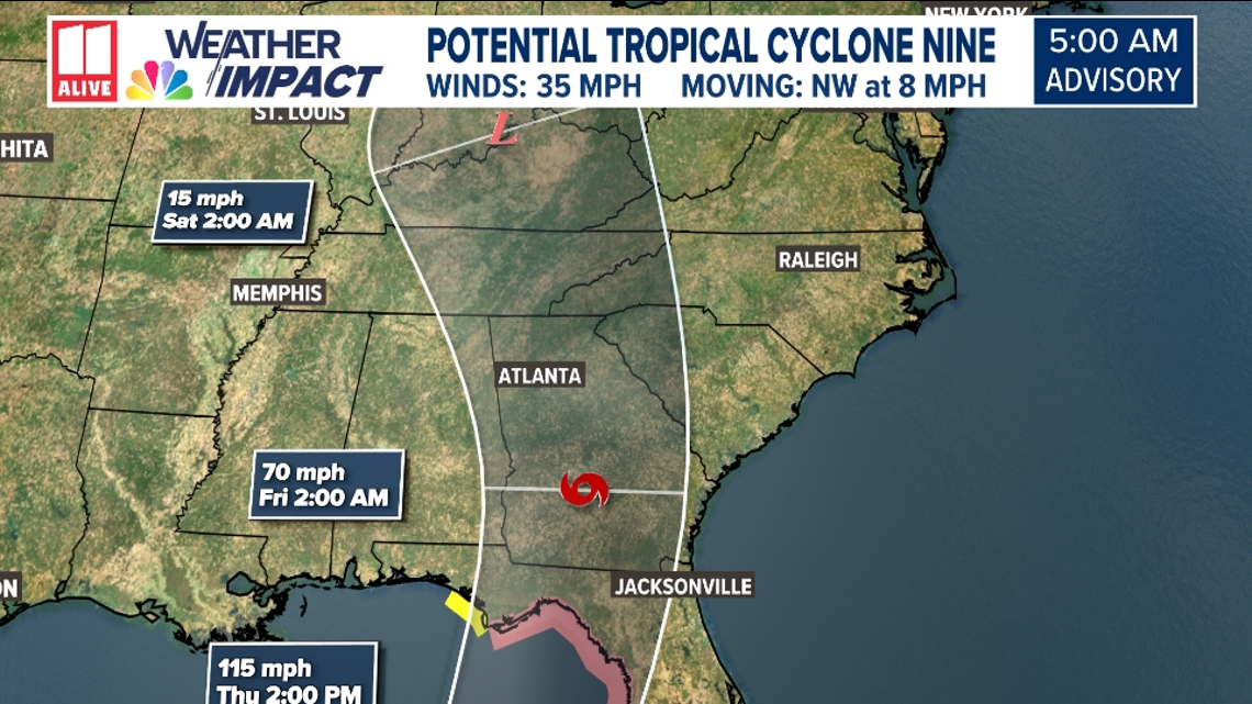
The PTC is forecast to move into the Gulf as a tropical storm, then strengthen to a Category 3 Hurricane before making landfall along the panhandle of Florida by Thursday evening or early Friday.

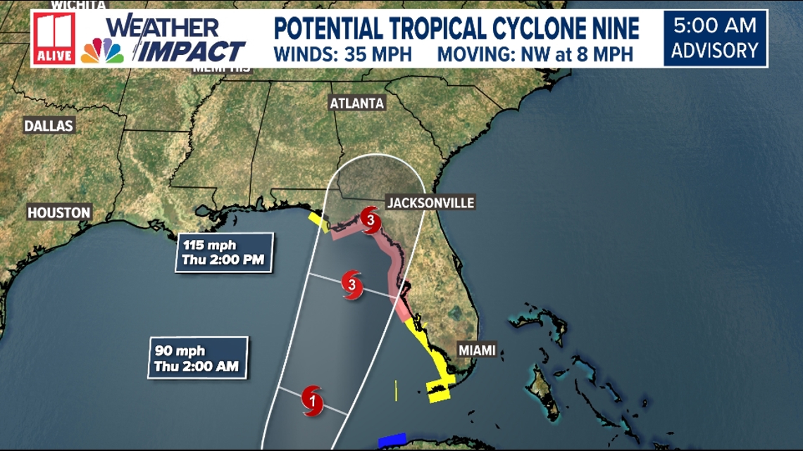
The storm is forecast to weaken as it moves northward through the state of Georgia, but could have huge impacts on the area depending on the strength and track.

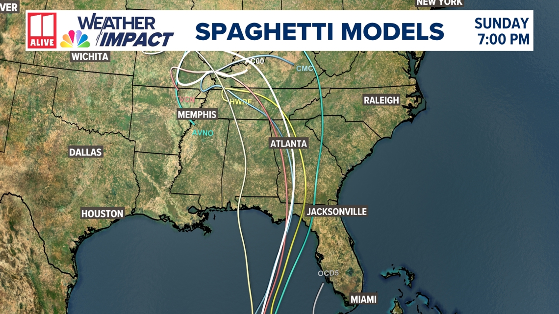
Spaghetti models:
It's still too early to be 100% confident in this track, but the models have been consistent so far. They are very similar in placement of the low as it approaches the coast. The spaghetti models are pretty similar to the NHC track.

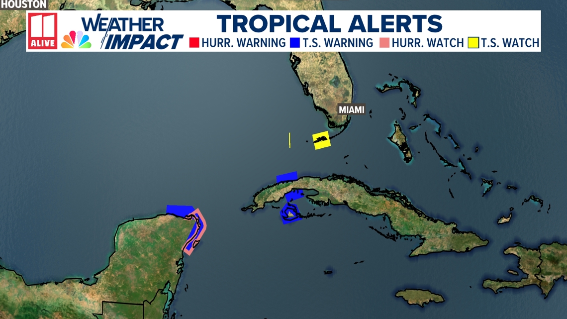
Watches and warnings:
Here's a look at the tropical watches and warnings issued near the storm.

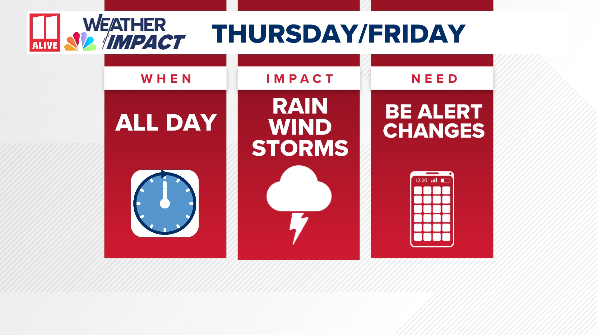
We will be monitoring all of these potential impacts this week and narrowing down all of these risks. It will be determined by the intensity of the storm, the speed of the storm and the track of the storm. If the system tracks east of Atlanta, our impacts would be less. If it tracks west of Atlanta or through Atlanta, we would see more impacts.
Other tropical development?
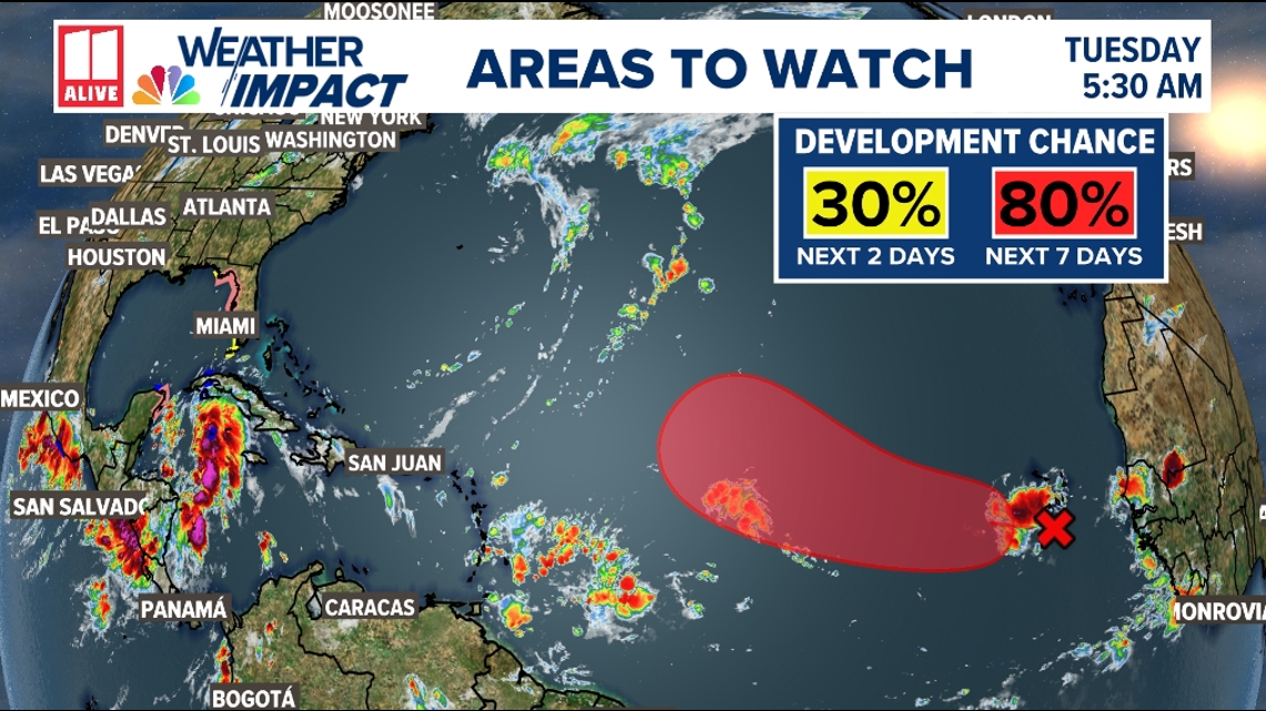
There is another tropical wave to watch coming off the coast of Africa. This system has a 80% chance of development.

