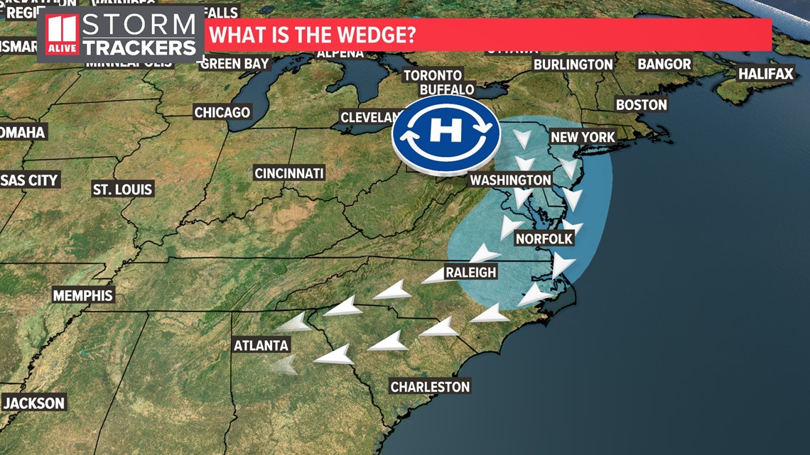
ATLANTA — We are getting "wedged" this weekend. But what exactly is it, and how does it impact the weather for the weekend? The meteorological term is actually CAD or "cold air damming." It happens when there is a strong area of high pressure, usually centered in the mid-Atlantic region.


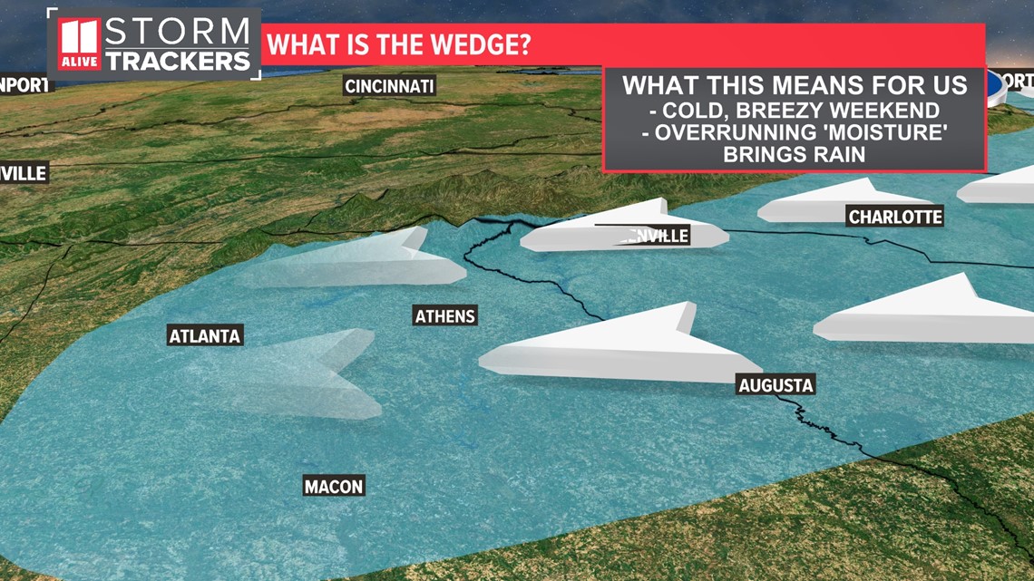
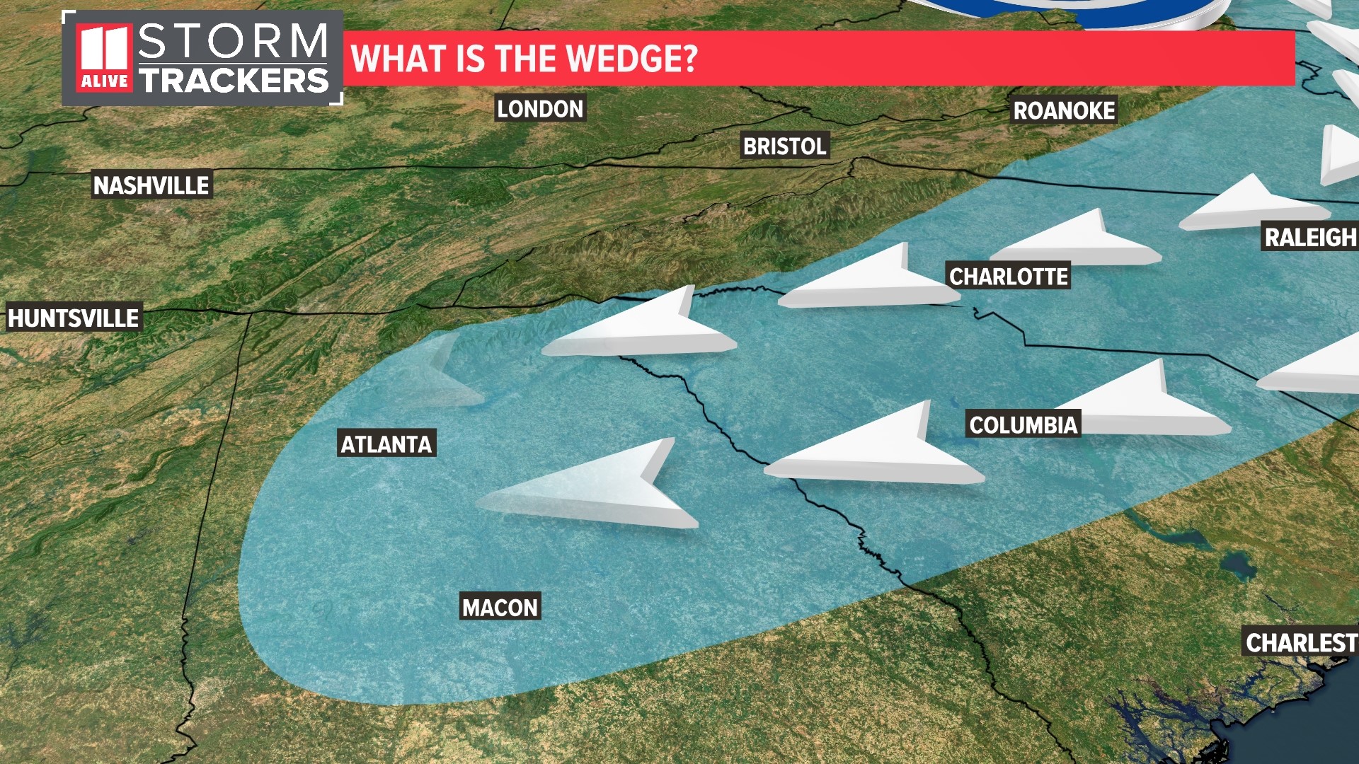
The clockwise flow around that high-pressure system sends a northeasterly flow into north Georgia. That means the winds are coming from the north and east. It is a shallow layer of cold air at the surface that drains like molasses along the east side of the Appalachian mountains.


That's why it's called a CAD event or cold air damming. That shallow layer of cold air gets dammed up and slowly progresses toward the southwest. Ironically, sometimes it could be warmer at the mountaintops in a "wedge" event, and the colder air stays at the lower elevations.


The strength of the easterly flow determines just how far south that wedge of cool air goes. It often makes it to Atlanta and even south of Atlanta. Cities like Rome and Dalton in northwest Georgia sometimes aren't in the wedge. Their temperatures also could be a lot warmer just outside of that shallow layer of cold air at the surface.
At the same time the cold air is settling in, we can get moisture moving in from the southwest. That moisture rides up and over the shallow later of colder air at the surface. That leads to a pretty dreary pattern of light rain, mist and drizzle that is pretty persistent in the area.
These "wedge" events are very hard to forecast. Not only recognizing when CAD will develop but also when the wedge will be scoured away and when the warmer air will return.
We will keep watching this wedge event for the weekend. Plan for a rather soggy and cold Saturday and Sunday.

