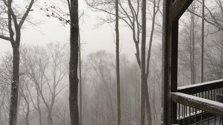
ATLANTA — Many people were hoping to see some snowfall on Tuesday, especially since schools and government agencies closed down for the threat of snowfall.
So, what happened?
I'll make a very complex situation very simple, it was too warm for snow.
The cold air needed to turn rain into snow was far behind the moisture. Look at temperatures over the past 20 hours, they never went below freezing.

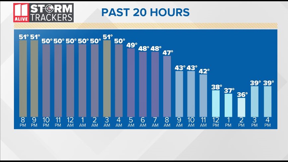
Given that temperatures would be hovering just above freezing even while it was snowing, it was already a close call with the forecast. A couple degrees makes all the difference in winter weather forecasting.
In fact, the 11Alive StormTrackers and National Weather were very persistent with their messaging, saying the forecast had a high level of uncertainty and that we could get very little to no snow at all.
Keep in mind there were closings because of the threat of snow, not a guarantee, and meteorologists were not the one making those decisions.
To say the forecast wasn't as accurate as everyone would like is true, but to say it was totally wrong would be false.
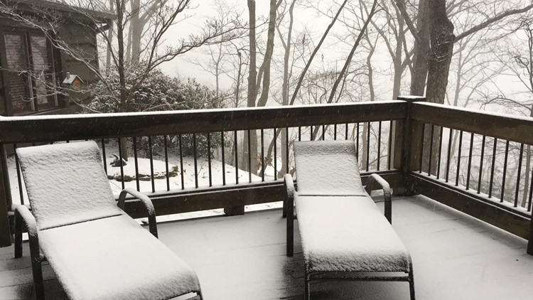
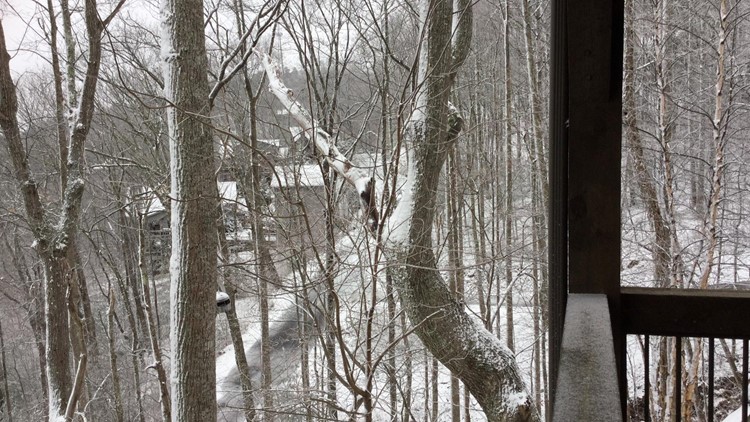
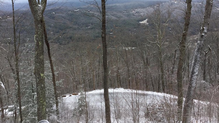
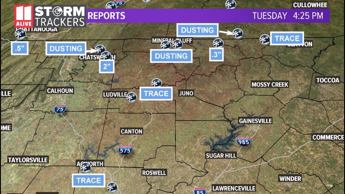
The highest amounts of precipitation occurred in the place in which the forecast said they may - in the highest elevations in north Georgia.

The wind and sun also helped to dry out much of the moisture left behind on the roads. But don't let your guard down - watch in some shaded or sheltered areas for any remaining moisture that could turn slick Tuesday night and Wednesday morning.

