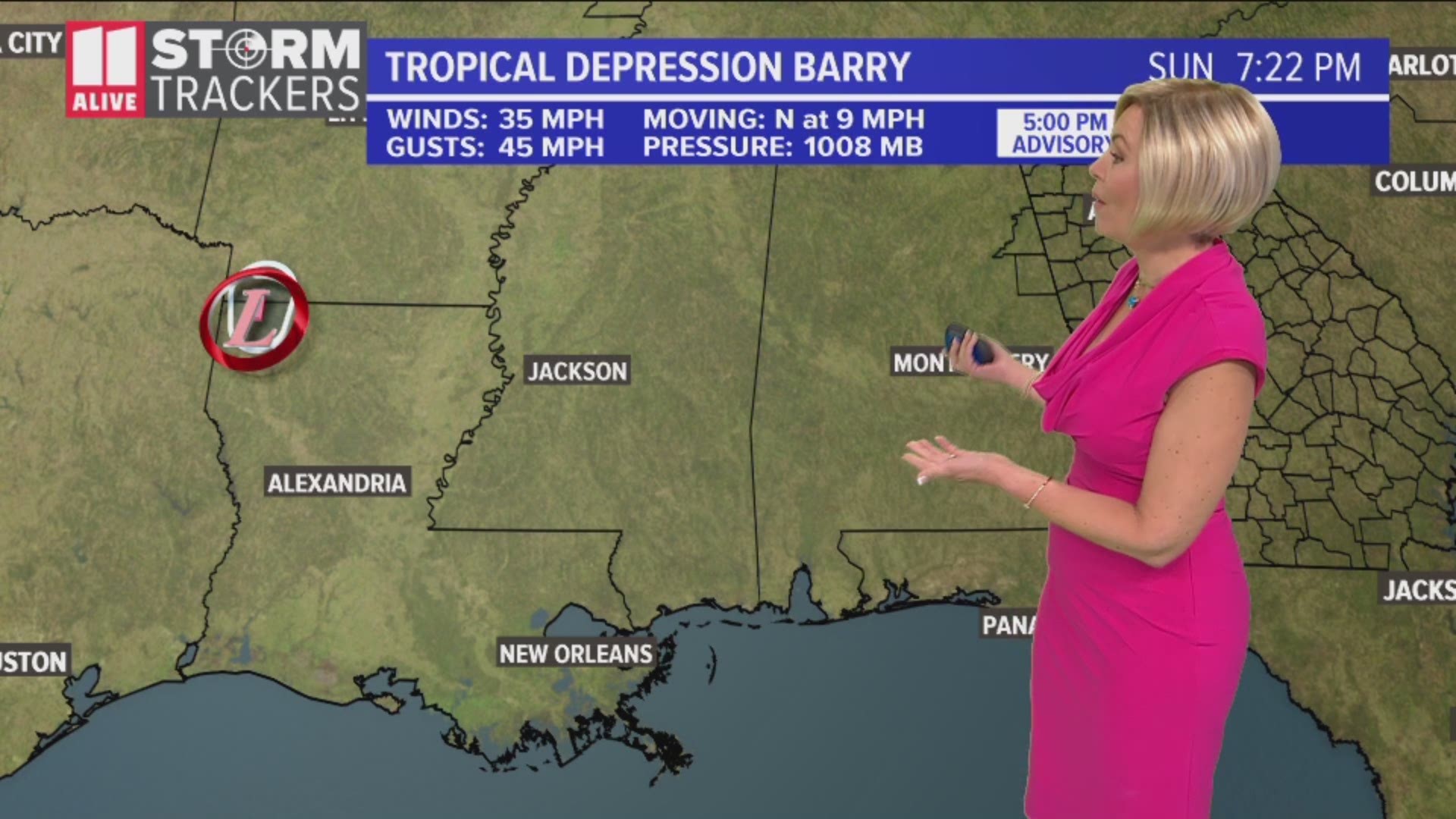
ATLANTA — Barry briefly became a hurricane Saturday, when wind speeds exceeded hurricane force. It then weakened back into a tropical storm and is now a tropical depression. However, it remains very dangerous now as it dumps rain on the Deep South.
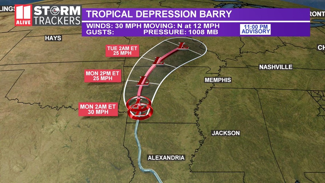
As of 11 p.m. Sunday, the wind speeds had decreased 30 mph with higher wind gusts. It was moving north at 12 mph and is expected to bring heavy rain to the Mississippi River Valley.


The main impacts along the will be flooding rain throughout the Mississippi from the slow-moving tropical system.
Watches and warnings in effect
Flash Flood Watches and Warnings are in effect for portions of far southeast Texas through much of Louisiana, Mississippi, and Arkansas. This includes parts of the mid-Mississippi Valley.
What to expect
Some weakening is forecast during the next 24 hours, and Barry is expected to become a post-tropical cyclone by Monday evening.
Barry is expected to produce additional rain accumulations of 3 to 6 inches across portions of the lower Mississippi Valley with isolated maximum amounts of 10 inches across eastern Arkansas, western Tennessee and Kentucky, southeast Missouri and northwest Mississippi.
Additional rainfall amounts of 3 to 5 inches with isolated storm totals of 10 to 15 inches are expected across south-central Louisiana.
Dangerous flash flooding and some additional river flooding is expected locally throughout the central Gulf Coast and lower Mississippi Valley
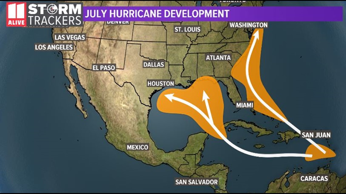
TYPICAL AREAS OF TROPICAL DEVELOPMENT IN JULY
During the month of July, we typically watch areas of the Gulf and Caribbean for tropical development to occur. We also begin to see possible development just off the Atlantic coastline.


Stay with the 11Alive Storm Trackers throughout the rest of the week as it develops in the Gulf region.
POWER OUTAGES CHECK | Georgia Power customers, check here. Georgia EMC customers check here.
Have a news tip? Email news@11alive.com, visit our Facebook page or Twitter feed.

