
ATLANTA — Continuing Gulf moisture is bringing warm, humid air across the Southeastern states and continued showers and thunderstorms through north Georgia.
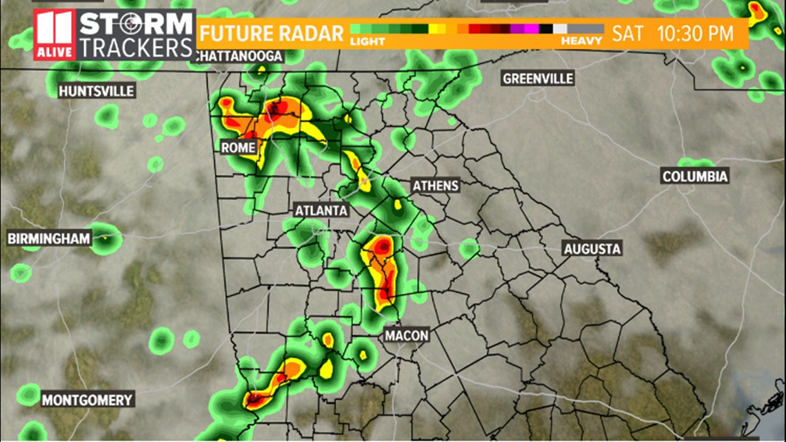
Waves of showers and thunderstorms are expected to move across the metro area and north Georgia throughout the day on Saturday and into Saturday night.
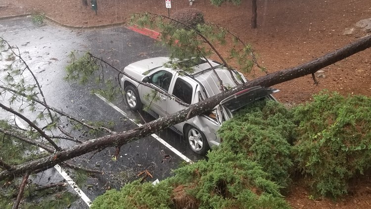
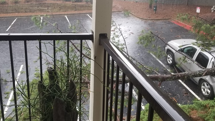
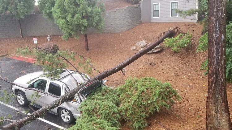
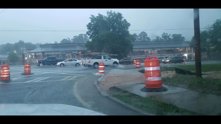
On Friday afternoon and evening, strong storms moved across north Georgia, knocking down trees and power lines across portions of metro Atlanta
WEATHER THREATS
11Alive meteorologist Chesley McNeil says the primary hazard from any thunderstorms that move through include the possibility of heavy rainfall amounts, gusty winds along with frequent, vivid lightning.
Chesley says that while we are not under a risk area for severe weather, strong storms cannot be ruled out over the course of the weekend.
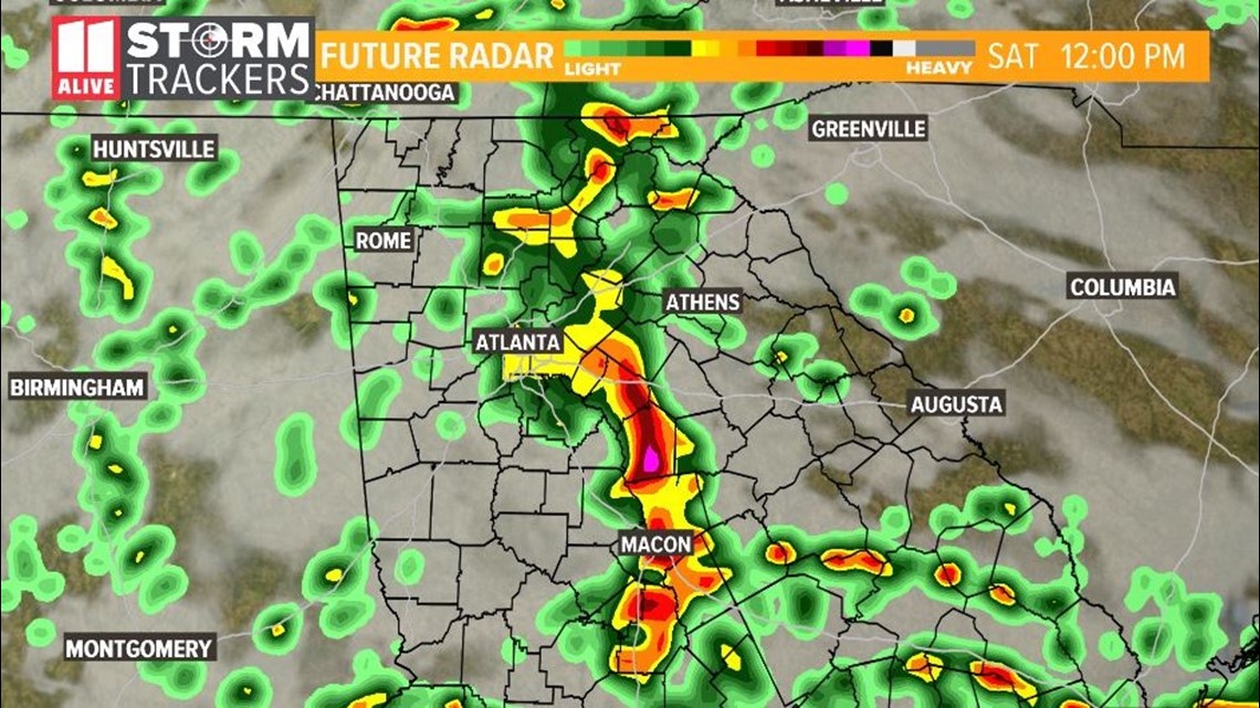
SATURDAY AND SATURDAY NIGHT
Rainfall amounts of 1-to-2 inches will be possible through the day on Saturday with locally higher amounts possible, especially in areas where heavy rain continues for an extended period.
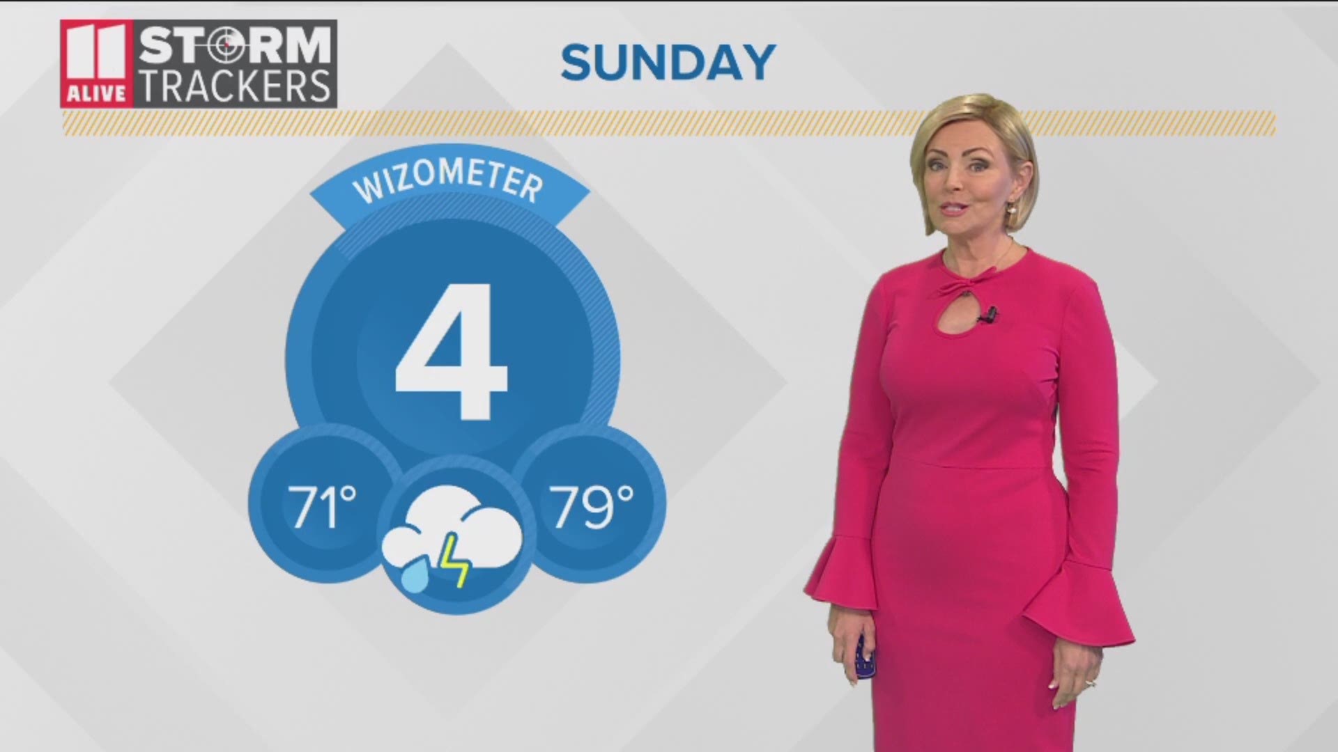
SUNDAY AND MONDAY
Continued showers and storms are anticipated each day through at least Thursday, with the highest probability of heavier showers and storms coming on Saturday through Monday.
Weekend severe weather - June 7-9, 2019
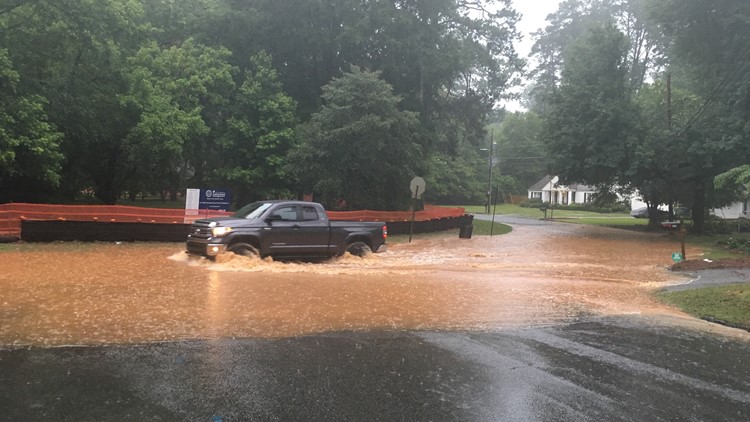

POSSIBLE FLOODING
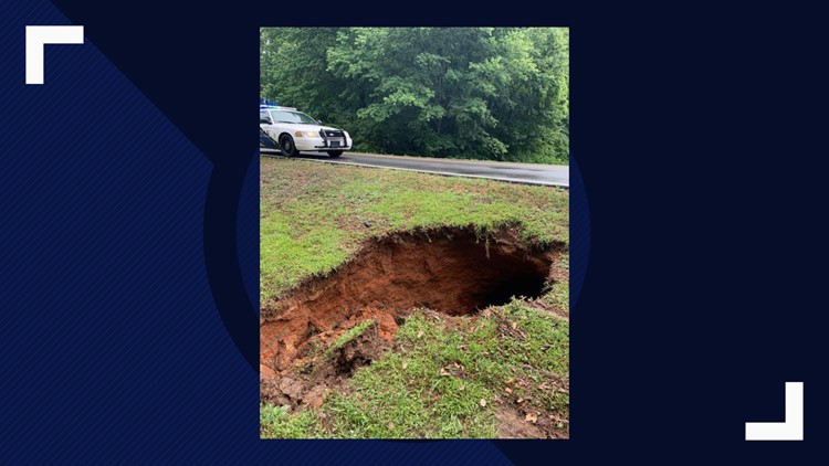
Flooding may become an increasing concern through the remainder of the weekend with the continuing storms and heavy rainfall.
Stay with the 11Alive Storm Trackers for the latest information and any possible weather warnings.
Download the FREE 11Alive News app now in the iTunes store or on Google Play.
POWER OUTAGES CHECK | Georgia Power customers, check here. Georgia EMC customers check here.
Have a news tip? Email news@11alive.com, visit our Facebook page or Twitter feed.