
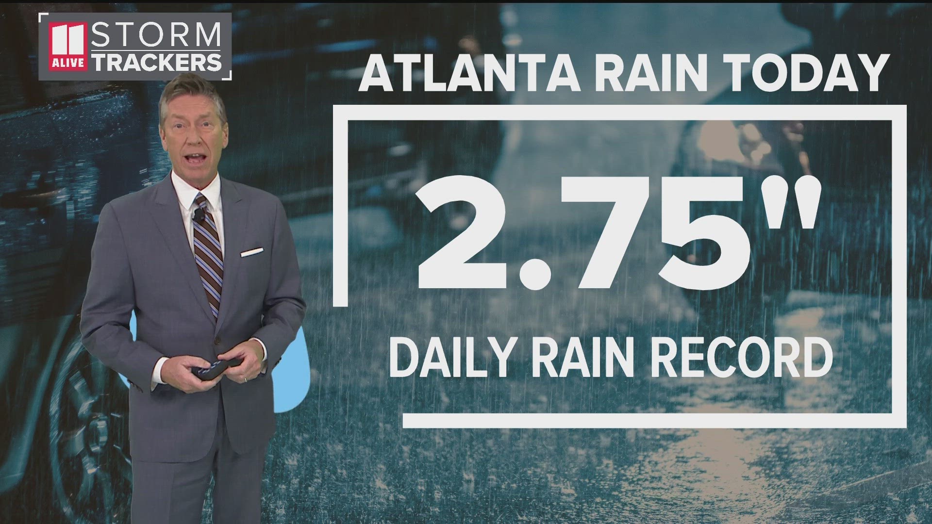
ATLANTA — Storms swept through metro Atlanta and north Georgia on Tuesday -- closing schools, disrupting flights and leaving behind damage all as wind and flood risk continued afterward.
Things are now expected to dry up, but the flood issues will continue for some regional waterways.
Several flood warnings have been extended since Tuesday evening by the National Weather Service. You can find those here, as well as details below:
Continuing flood warnings in metro Atlanta and north Georgia
- Yellow River, affecting DeKalb, Rockdale and Newton counties: Minor flooding, with moderate flooding forecast, at both Pleasant Hill Road near Lithonia and Gees Mill Road until Thursday evening
Impacts: "At 16.0 feet, Moderate flooding begins. In Newton County...Riverside Estates Travel and Mobile Home Park begins to experience significant flooding. Trailers must be moved to higher ground and several mobile homes will flood. Evacuations may be needed. In Rockdale County...some flooding begins in the Lake Capri subdivision."
Water was at 14 feet at 4:30 a.m. Wednesday. It is expected to rise to a crest of 16 feet after midnight Thursday then fall below flood stage early Thursday afternoon.
- Yellow River at Pleasant Hill Road: Until just after midnight Thursday: Secondary flooding point.
Impacts: "At 15.0 feet, Minor flooding continues and expands further into the woodlands and fields near the river upstream and downstream from the gage on Pleasant Hill Road. In Dekalb County... some flooding of backyards of homes begin on Harmony Hills Drive and Court. Johnson Creek flowing under Union Grove Road into the river begins to back up."
Water was at 14.6 feet at 4:47 a.m. Wednesday.
- Big Creek, affecting Forsyth and Fulton counties: Minor flooding until Thursday evening.
Impacts: "At 10.0 feet, Minor flooding expands along the creek from near Cumming to Alpharetta and Roswell. Backyards of homes off Seale Drive and Gunter Court and portions of the Golf of Georgia are under a foot of water. The Big Creek Greenway experiences significant flooding up to 4 feet deep with closure of the paths. This especially occurs upstream and downstream from the gage on Kimball Bridge Road and Rock Mill Park. A large portion of the YMCA Campground off Preston Ridge Road will be under two feet of water."
Water was at 10 feet at 5 a.m. Wednesday, expected to rise to 10.5 feet by Wednesday afternoon and fall below flood stage early Thursday afternoon.
- Big Haynes Creek, affecting Rockdale and Newton counties: Minor flooding at Bald Rock Road near Milstead until further notice.
Impacts: "At 14.0 feet, Minor flooding continues in the woodlands along the creek upstream and downstream from the gage on Bald Rock Road near the Georgia International Horse Park. Low lying portions of residential backyards on Highlands Forest Lane...Highlands Creek Way and Highlands Ridge Lane begin to flood."
Water was at 14.4 feet at 5 a.m. Wednesday.
- Suwanee Creek, affecting Gwinnett County: Moderate flooding forecast near Suwanee until late Wednesday morning
Impacts: "At 11.0 feet, Moderate begins in the Suwanee Creek Park...Martin Farm Park and George Pierce Park. The Suwanee Creek Greenway is flooded with 1 to 3 feet of water. Water reaches the Swift Atlanta Company parking lot. Portions of the Suwanee Creek Road flood near the Bennett Creek bridge. Flooding expands into the yards off Bend Creek Trail and Mill Creek Run. A large portion of the playground behind the Suwanee Elementary School will be flooded. The water level will reach the bottom of the Martin Farm Road bridge.
Water was at 11 feet at 9:15 p.m. Tuesday night. Expected to fall below flood stage Wednesday morning.
- Line Creek, affecting Fayette County: Minor flooding near Senoia until further notice.
Impacts: "At 14.0 feet, Moderate flooding begins. Significant flooding occurs of residential yards upstream of the gage between Upper Riverdale Road and Georgia Highway 138. Some roads begin to flood such as Upper Riverdale Road and Mockingbird Road. Flooding expands on portions of the Rivers Edge Golf Course. Several holes and fairways will flood."
Water was at 13.5 feet at 4:45 a.m. Wednesday. Expected to fall below flood stage Wednesday evening.
- Flint River, affecting Fayette and Spalding counties: Minor flooding near Griffin until late Wednesday evening
Impacts: "At 13.0 feet, Minor flooding continues in the woodlands...fields and pasture upstream and downstream from the gage on Georgia Highway 16 or Newnan Road. The backyards of homes at the end of Landing Way upstream from the bridge will begin to flood."
Water was at 13 feet at 4:45 a.m. Wednesday. Expected to fall below flood stage late Wednesday afternoon.
- Etowah River, affecting Cherokee County: Minor flooding downstream I-575 at Canton until further notice
Impacts: "At 18.0 feet, Minor flooding expands into the woodlands and fields along the river upstream and downstream from the gage by the Walaska Street bridge. Large portions of recreational areas such as Boling Park behind the Cherokee County High School...the Cherokee County Fairgrounds and the Etowah River Greenway at Heritage Park will be flooded with up to two feet of water. The parking lot at Boling Park will be under one foot of water. Portions of the Mill Industrial Way Road begin to flood."
Water was at 17.6 feet at 4:15 a.m. Wednesday. Expected to fall below flood stage early Wednesday morning.
- Sweetwater Creek, affecting Cobb and Paulding counties: Minor flooding near Powder Springs, Austell and Brownsville area until early Friday morning
- Chattooga River, affecting Chattooga County: Moderate flooding at Summerville until Thursday morning
- Coahulla Creek affecting Whitfield County: Minor flooding at Keiths Mill Road near Dalton until further notice
- Middle Oconee River, affecting Jackson and Barrow counties: Moderate flooding forecast near Arcade with warning extended until late Wednesday evening
- Broad River affecting Madison, Oglethorpe and Elbert counties: Minor flooding near Carlton until late Wednesday afternoon
- Oconee River affecting Oconee, Oglethorpe and Greene counties: Minor flooding, with moderate flooding forecast, near Penfield until Friday evening