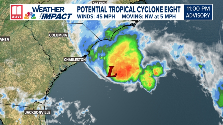
ATLANTA — As Francine's impacts fade, we're closely watching Potential Tropical Cyclone Eight off the coast of South Carolina.
PTC Eight is already producing tropical-storm-force winds of 45 mph, but it is not organized enough to be given the 'tropical storm' designation.
It is forecast to further organize to a tropical storm before making landfall Monday along the Carolina coast.

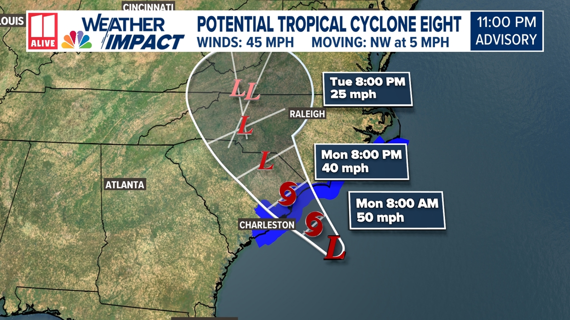
If PTC Eight does become a tropical storm, the next name on the list is Helene.

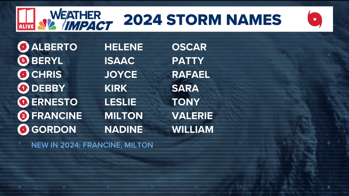
Regardless of intensification, it will bring tropical-storm-force-winds, heavy rain, coastal flooding, and high surf to portions of the Atlantic coast through the next couple of days.
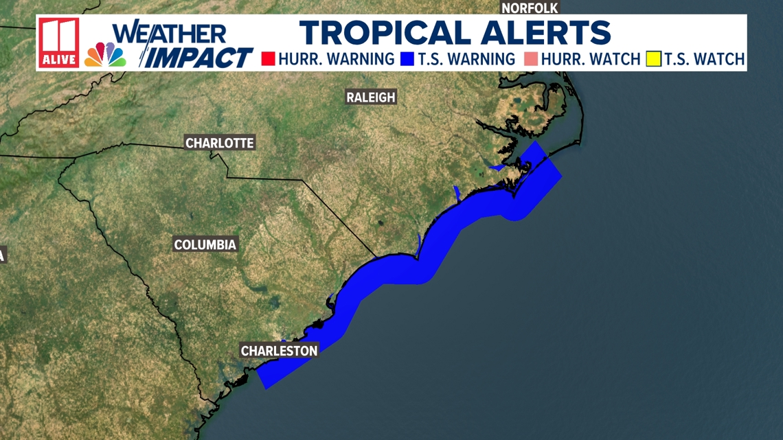
Tropical Storm Warnings extend along the coast from Edisto Beach, South Carolina northward to Ocracoke Inlet, North Carolina.

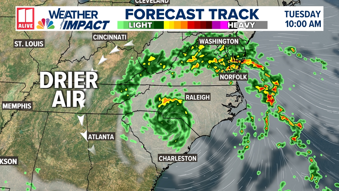
This will send deep tropical moisture into the Carolinas and Mid-Atlantic.
Meanwhile in north Georgia, dry air will work in on the back side of the system, suppressing rain chances. A few spotty showers may develop over far northeast GA Tuesday along with an increase in cloud cover. A small shift could change our forecast, but at this point it loosk like impacts here will be next to nothing.

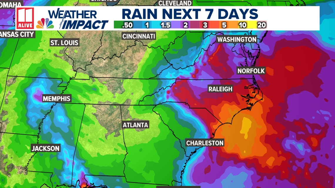
Notice rain amounts over the next week being meager across drought-stricken Georgia. Meanwhile, rain totals over 3 inches are likely from Washington D.C. down through the coast of North Carolina in this storm's path.

Beaches in advance of the system will also feature rough surf, larger waves, and a higher risk of rip currents.


