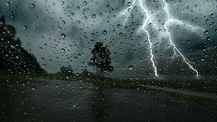
ATLANTA — Parts of Georgia have the potential to see severe weather overnight into early Thursday morning as a round of storms makes its way into the state.
The storms are moving in from neighboring western states and are expected to weaken as they move toward Georgia.
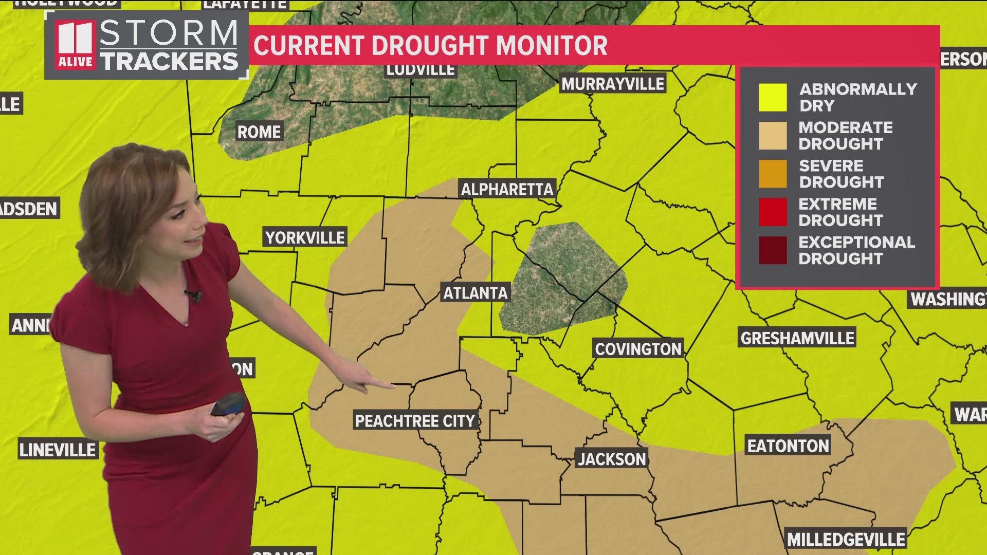
However, North Georgia has a slight risk for severe storms with damaging wind or even a brief tornado possible, according to 11Alive Stormtrackers. Forecasters said it will largely be an overnight event with lingering impacts lasting until early Thursday morning.
Refresh this story often for the latest weather updates and download the 11Alive app on your Apple or Android device. You can watch live updates on 11Alive's YouTube channel or our Roku and FireTV apps.
Live updates
6:46 a.m. | Major flooding was reported out on I-285 WB at Ashford Dunwoody Road.
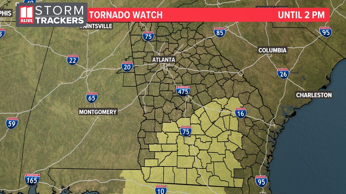
6:40 a.m. | The tornado watch has been canceled for the rest of North Georgia. A new tornado watch is in effect until 2 p.m. south of the 11 Alive viewing area in south-central Georgia.

6:25 a.m. | The tornado watch was canceled early for Carroll, Coweta, Floyd, Haralson, Polk counties.
5:00 a.m. | The Severe Thunderstorm Watch for northwest Georgia has expired. A tornado watch remains in effect until 8 a.m. for west Georgia. The heaviest rain currently is on the west side of the metro, nearing the Perimeter.
4:00 a.m. | Heavy rain and embedded storms are moving through west Georgia. Although no warnings are currently in effect, some gusts between 40 and 50 mph are possible.
3:00 a.m. | The line of storms is now in Georgia.
A tornado watch remains in place until for several western Georgia counties until 8 a.m., while a severe thunderstorm watch remains in effect for multiple far north Georgia counties until 5 a.m.
Watch the live radar below.
12:56 a.m. | Chief Meteorologist Chris Holcomb is tracking the current position of the storms in Alabama, as the make their way close to Georgia. A tornado watch is still in effect.
12:30 a.m. | A tornado watch has been issued for multiple counties in west Georgia until 8 a.m. The watch included Carroll, Coweta, Floyd, Haralson, Harris, Heard, Meriwether, Polk and Troup counties.
12:28 a.m. | A tornado watch has been issued for parts of northwest Georgia until 8 a.m. Counties impacted include Heard, Meriwether and Troup.
12:08 a.m. | A thunderstorm watch has been issued for parts of NW Georgia until 5 a.m. including Catoosa, Chattooga, Dade, Fannin, Gilmer, Murray, Walker and Whitfield. 11Alive will continue to monitor the line of storms moving in from Alabama.
TEXT YOUR WEATHER PHOTOS TO US: 404-885-7600
JOIN THE 11ALIVE STORMTRACKERS FACEBOOK GROUP: Nearly 10,000 metro Atlanta and north Georgia weather enthusiasts share their weather photos every day. Click here to join the group!