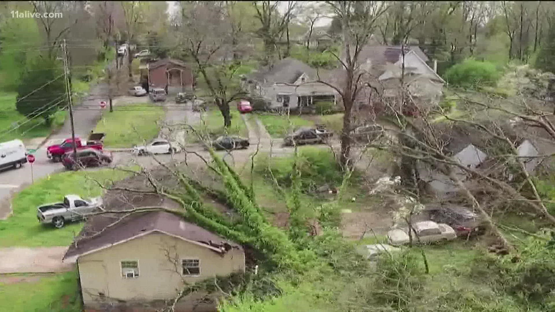
ATLANTA — As spring severe weather season ramps up, researchers will be collecting information from those storms to improve forecasting.
In one of the largest and most comprehensive research projects on severe storms, PERiLS, which stands for Propagation, Evolution, and Rotation in Linear Storms, will zero in on critical conditions in the atmosphere that support tornado formation in the southeast.
Georgia sometimes sees supercell thunderstorms, especially in the spring months. But lines of storms are much more common and can happen year-round. These squall lines can bring intense winds and tornadoes. Recently, there was an overnight squall line Dec. 29 of 2021, which produced brief tornadoes in the north Atlanta suburbs.

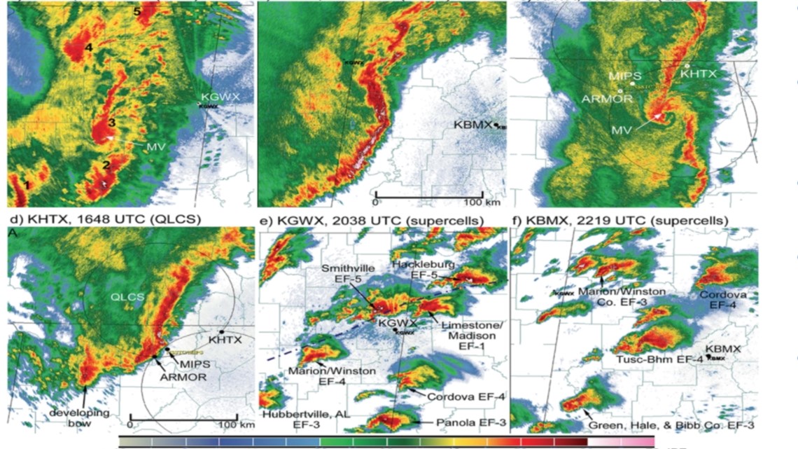
The $9 million research project will deploy a variety of weather instruments and collect information on the environment before, during and after a tornado. During March and April of 2022, and Feb. through early May of 2023, scientists will gather the data, then later analyze it the following year. They hope it will paint a clearer picture of why part of a line of storms produces a tornado while another part does not.
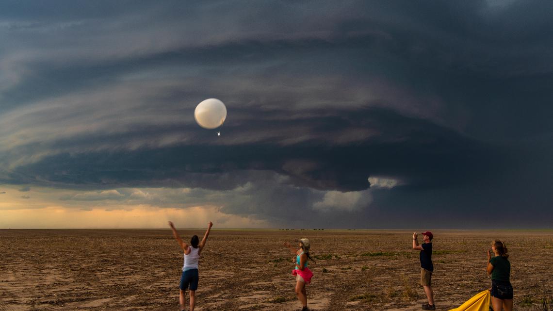
Each storm event, 70 to 75 scientists will conduct research. Rather than 'storm chasing', much of the research will be done by using over 100 mobile and stationary instruments. The stationary instruments will be placed several hours to days ahead of a severe weather risk over an area spanning hundreds, instead of thousands, of miles. By having a high concentration of instruments gathering data, they'll be able to gather a three-dimensional pool of data. They will study low level winds, temperatures, humidity, and other factors right before, during and after the squall line arrives.

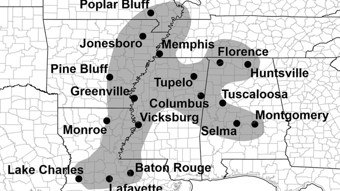
The research domain covers a vast area from the bootheel of Missouri down to Louisiana and east to Tennessee. It does not include Georgia, although we see a significant number of tornadoes like the other states. Scientists did have a desire to conduct research here, but it was not practical in the end.

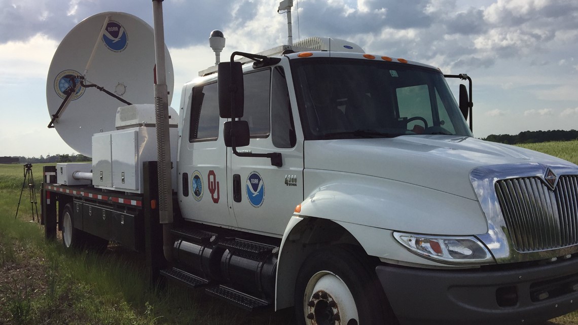
A key part of the study is the use of mobile doppler radars. These radars scan the bottom of the storms where rotation can develop and form a tornado. Because Georgia is a highly forested state, it would have been problematic for these mobile radars trying to get that critical information.

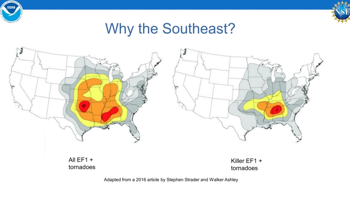
Tornadoes are just as common in the southeast as they are in “tornado alley” in the Plains, but more people die from tornadoes in the southeast.

The National Weather Service in Peachtree City will be able to take this information to improve tornado detection and ultimately save more lives and property.

