ATLANTA, Georgia — This week will be a whirlwind due to the weather in Georgia. We began the week with lots of sunshine and temperatures well above average.
Highs on Monday were near 76. Our first weather swing happened on Tuesday.
The rain began and will continue through most of the day. Spotty showers are possible on Wednesday morning. However, it will not last long, and the rain will be over well before the afternoon hours.

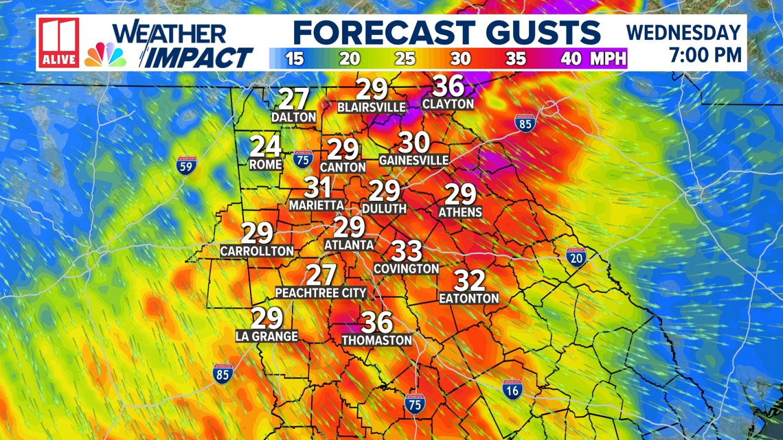
Once we dry out, winds from the east will arrive and be very gusty. Wednesday's wind gusts could be near 30 mph. They will weaken overnight and pick back up on Thursday. Thursday's wind gusts will be higher. In the North Georgia mountains, wind gusts could be near 40 mph. Power outages are not much of a concern because rainfall totals are so low and the ground is so dry.

RELATED: Weather Impact | Here's what you need to know to prepare for the fall severe weather season
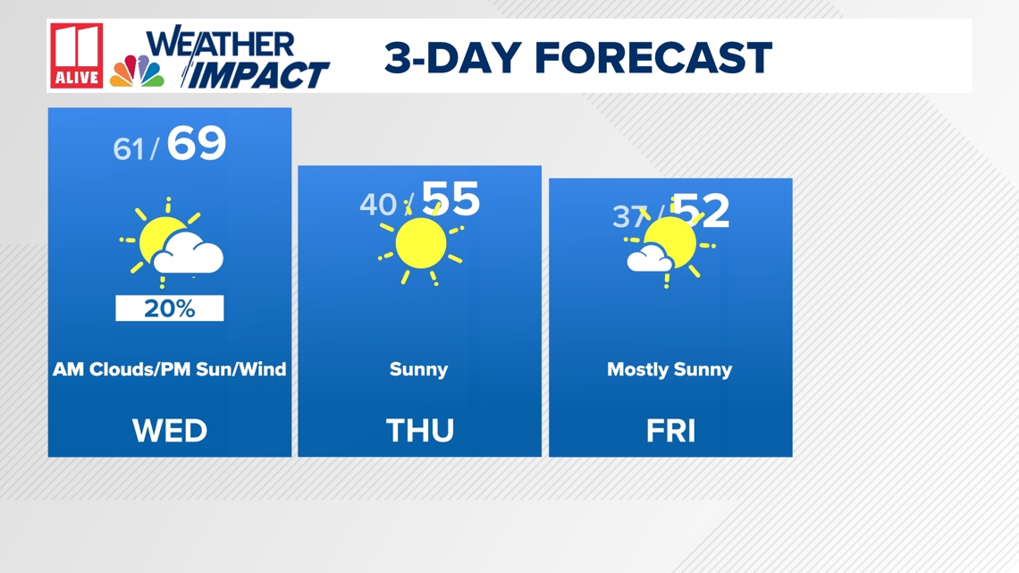
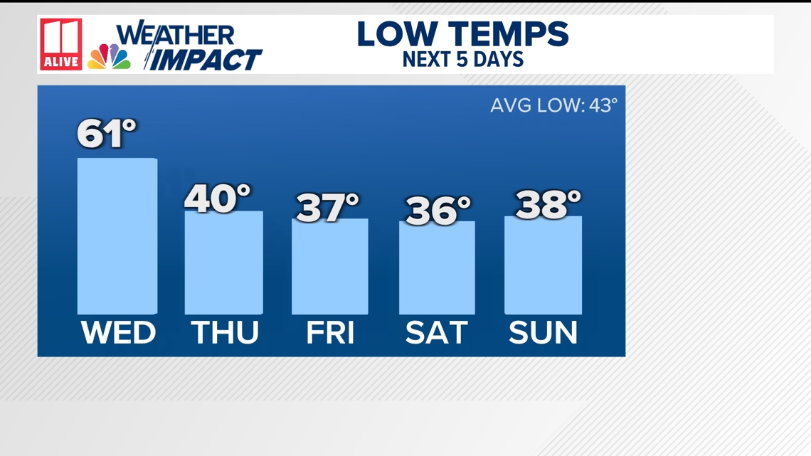
Actual temperatures will continue to fall over the next few days as well. Highs on Friday will be near 51. This means that for the first time in quite some time, we will have a below-average day. Our temperatures should be near 64. Morning lows will be brisk to end this weekend. You could start your Friday in the upper 30s.

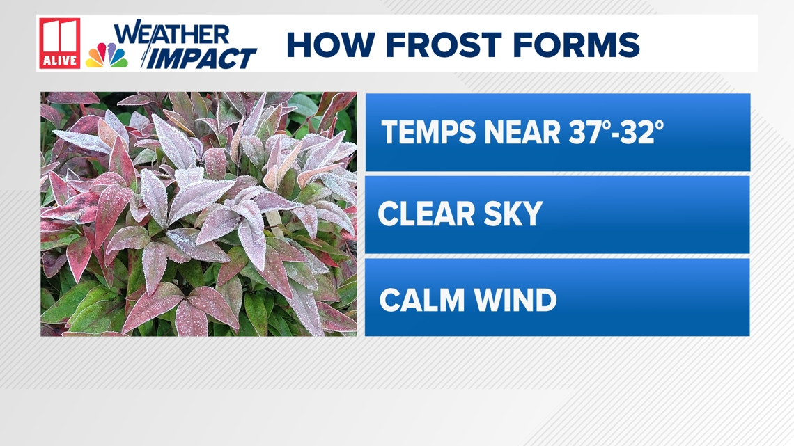
Some might ask, "Does this mean we will have frost in Atlanta?" The answer to that question is no. While the temperatures are in the range, the sky will be mostly clear, the winds will be too high. This cold snap will come to an end as we start next week. Highs by Monday will be back into the upper 60s.

