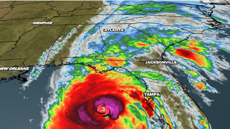
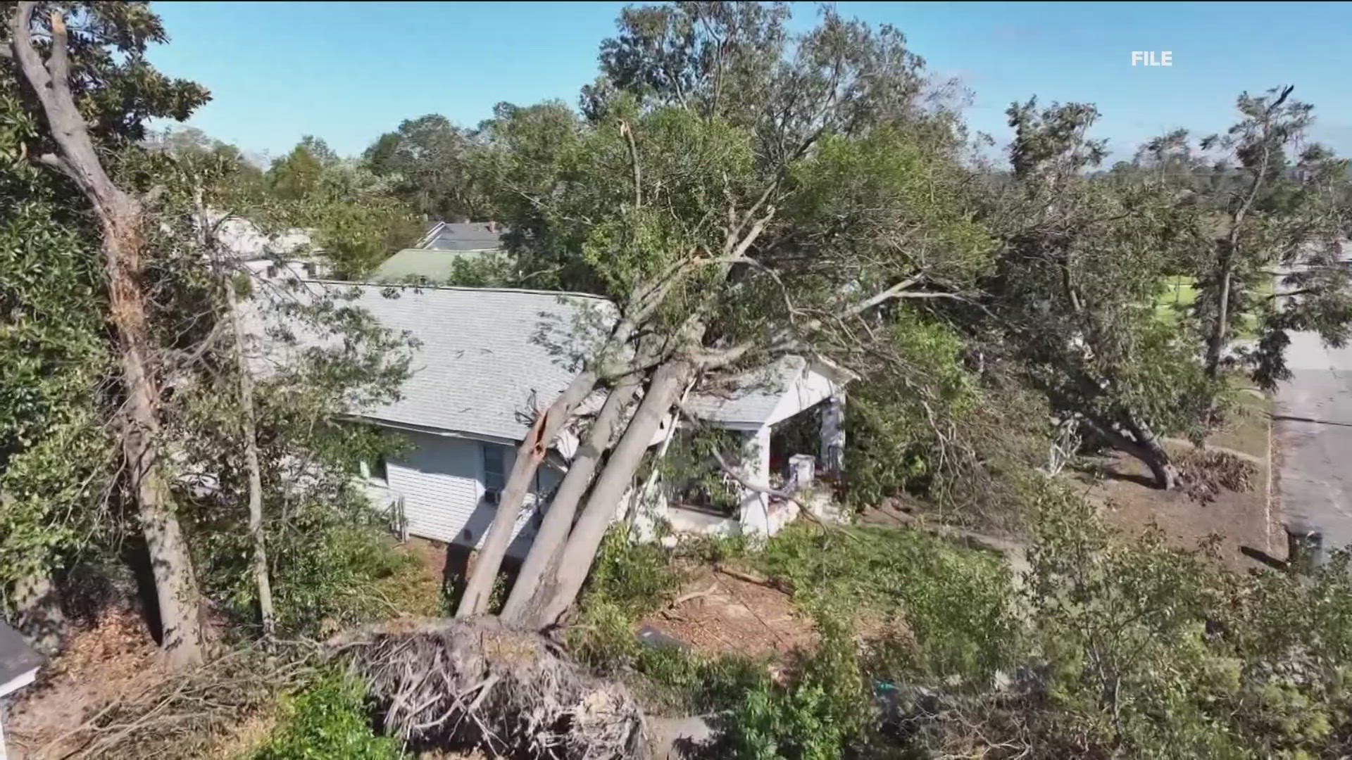
ATLANTA — Metro Atlanta and north Georgia are bracing for Helene, which is expected to bring tropical storm conditions including heavy rainfall and significant, damaging wind gusts.
Helene made landfall in Florida just after 11:30 p.m. Thursday and is now traveling north into Georgia and up toward the metro Atlanta/north Georgia region.
One significant question that will play a factor in how strong, exactly, the wind gusts in our area become is whether or not the inner core of metro Atlanta will be Helene's "dirty side."
Here's a bit of an overview:
What does the 'dirty side' of a hurricane mean?
Basically, it just means the side of the hurricane with the stronger winds.
This is a function of the circulation of the hurricane -- counterclockwise in the Northern Hemisphere, creating a kind of thrust in the counterclockwise direction as the storm moves.
That means for a storm moving north, like Helene, the winds are stronger on the eastern side.
For example, a hurricane with 90mph winds moving at 10mph would have a 100mph wind speed on the forward-moving side and 80 mph on the side with the backward motion.
The National Weather Service Atlanta account also noted in a post about Helene: "Damaging wind gusts that will likely lead to power outages and swaths of downed trees, especially EAST of the storm's center."
Now, about Atlanta and Helene.
Will Atlanta be on the 'dirty side' of Helene?
As of 11 p.m., models placed Helene's track right through the middle of the city of Atlanta. That means areas like Athens or farther east (Augusta) would see the stronger side of Helene. However, because Helene will cut directly through Atlanta, it's not a cut-and-dry issue.
Regardless of the track, all 159 counties in Georgia will be impacted by Hurricane Helene.
Hurricane Helene
Helene strengthened to a "dangerous" category 4 hurricane just after 6:30 p.m., Thursday before it made landfall late Thursday around 11:30 p.m. near Apalachicola, along Florida's Big Bend region.
In anticipation of the storm's impacts, Georgia's governor issued a State of Emergency to free up resources.
Hurricane Helene was a major category 4 hurricane at landfall. The National Hurricane Center's official forecast had gone back and forth between a category 3 and category 4 strength ahead of landfall, bringing devastating storm surge, damaging winds, and flooding rain.
11Alive has issued a Weather Impact Alert for Wednesday night for pre-Helene tropical downpours, then for Thursday and Friday in north Georgia due to impacts from Helene.
Download the 11Alive News mobile app and turn on alerts to get the latest updates on the storm's track from our team. Stream extended forecasts and live radar on the 11Alive+ streaming app, available on Roku, Amazon Fire and Apple TV.


