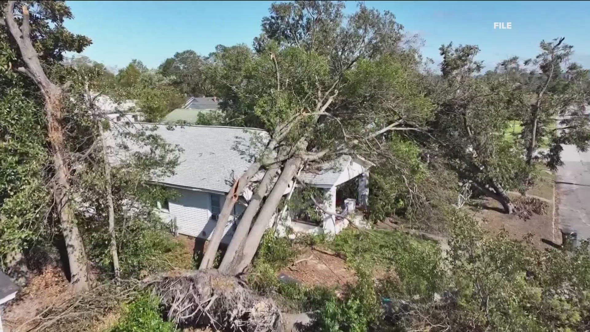
ATLANTA — Hurricane Helene formed Wednesday into a major hurricane, before rapidly intensifying into a category 4 hurricane Thursday before landfall along the Big Bend region of Florida around 11:30 p.m. As of 5 a.m., it was downgraded to a tropical storm.
Its projected path still takes it directly up the state of Georgia, brining significant implications for the state and metro Atlanta after midnight in the early morning hours of Friday, Sept. 27.
11Alive's Weather Impact Team is tracking the storm, in the video player above this story and below, in the YouTube player, with live information including radar and the storm's projected path. An 11AliveWeather Impact Alert is still in effect Friday in north Georgia due to impacts from Helene.
Download the 11Alive News mobile app and turn on alerts to get the latest updates on the storm's track from our team. Stream extended forecasts and live radar on the 11Alive+ streaming app, available on Roku, Amazon Fire and Apple TV.
Take a look at live conditions:
Helene live tracker, radar, projected path
Interactive Helene radar
More on Helene
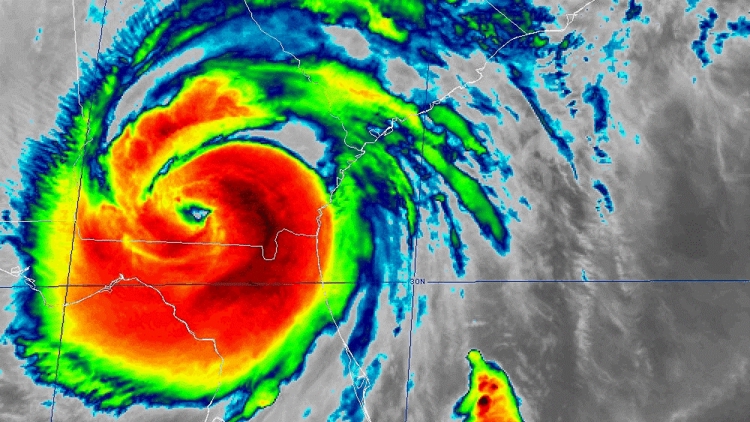
Helene strengthened to a "dangerous" category 4 hurricane just after 6:30 p.m. before it made landfall late Thursday around 11:30 p.m. near Apalachicola, along Florida's Big Bend region.
In anticipation of the storm's impacts, Georgia's governor issued a State of Emergency to free up resources.
Hurricane Helene was a major category 4 hurricane at landfall. The National Hurricane Center's official forecast had gone back and forth between a category 3 and category 4 strength ahead of landfall, bringing devastating storm surge, damaging winds, and flooding rain.